

Gran Canaria · Canary Islands · Spain
Gran Canaria Beyond the Beach Holiday: A Miniature Continent
Gran Canaria is far more than its beaches: a week of cloud forest, volcanic mountains, quiet villages and Atlantic coast.
A week exploring Gran Canaria beyond the resorts, from Agaete and Las Palmas to Roque Nublo, Artenara, Maspalomas and Barranco de las Vacas.
At a glance
- Best for
- Nature lovers: mountains, forest, villages and coast.
- Time needed
- A week lets you see the north, interior and south without rushing.
- Getting around
- A rental car is best for the inland; use the Roque Nublo shuttle.
- Good to know
- The north is greener and cloudier than the south, and Roque Nublo requires advance booking and a timed entry slot.
We went to Gran Canaria for a week on an island without leaving Spain. There are direct flights from Valencia, so the decision made itself.
Everyone who thinks of the Canary Islands thinks of beaches and sand. Honestly, I can't sit still in one place doing nothing by the sea. I need to see something, do something, find something out. So it came as a good surprise that Gran Canaria has a lot of variety to offer.
The numbers back this up. The island is only about fifty kilometres across, and in that space it has many different microclimates - which is why people call it a miniature continent. Drive half an hour and both the weather and the landscape change completely: the trade winds hit the mountains and leave the north green and wet while the south stays dry. And a large part of it is a UNESCO Biosphere Reserve, declared in 2005 - covering 43% of the island's central and southwestern land, along with a wide strip of sea.
That's the answer to the beach question. If you stay on the coast you are missing most of the island, and not by a small margin.
I've grouped this by region rather than by day, because that's how the island actually divides and it's easier to plan around.
The north: green, local and lived in - Los Tilos, Agaete, Teror & Las Palmas
The north is the wet side. This is where the trade winds arrive, and it’s also where we found out that sun on this part of the island isn’t guaranteed - cloud sits over this coast when the south is bright.
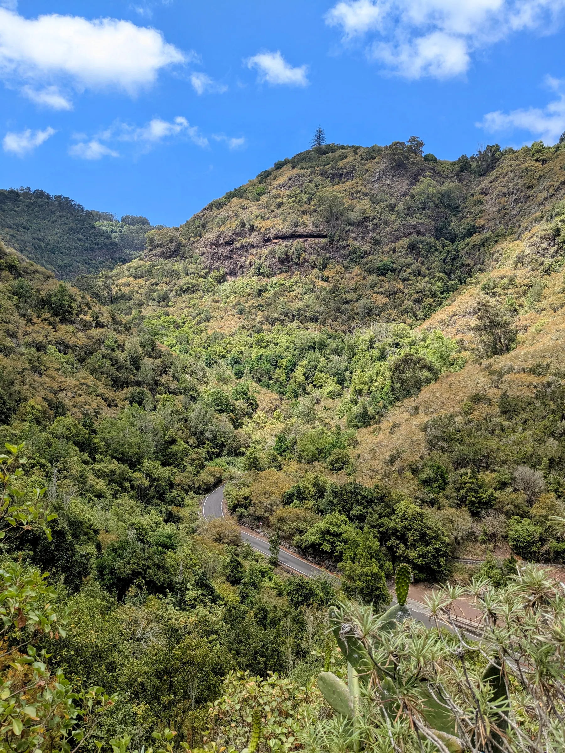
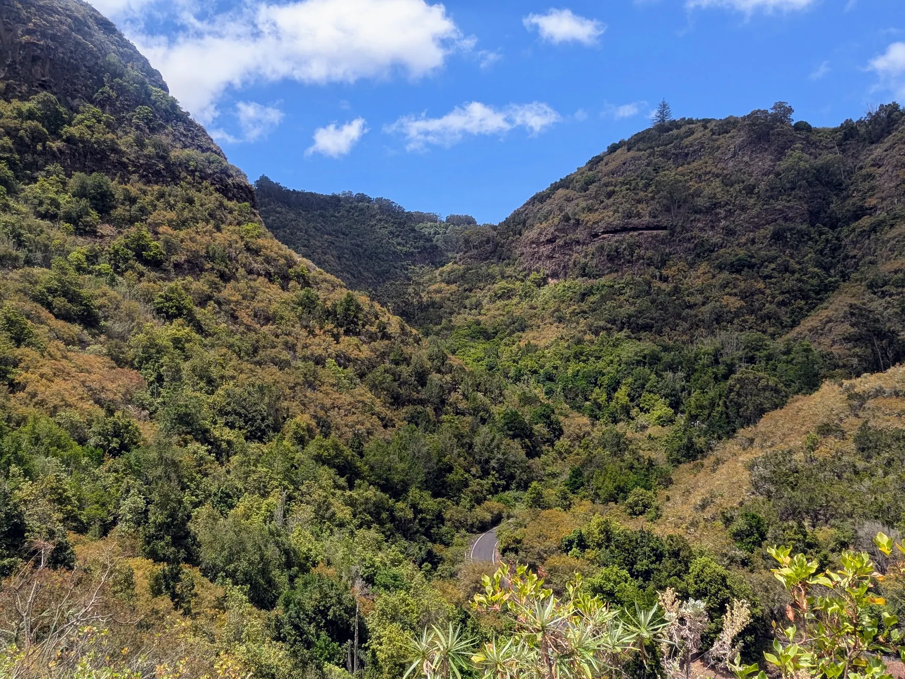
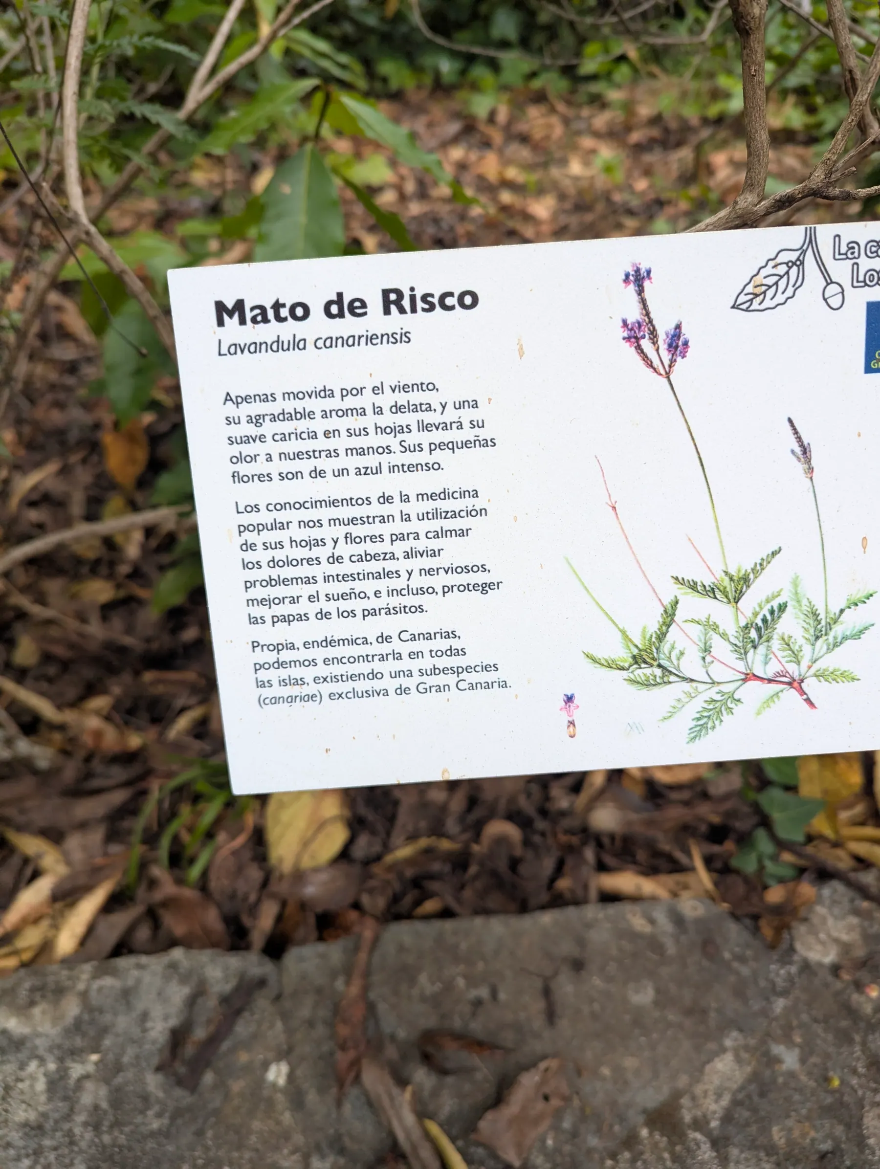
Reserva Natural Especial de Los Tilos de Moya, in the north of the island above Moya, was a refreshing stop. We parked at the interpretation centre and walked for about forty minutes, heading a little way up into the hills on a marked path. It’s an easy walk, and the way back takes you through the forest itself. There are longer and shorter hiking trails, so choose the one you like most. It’s easy to file this as “the green bit”, but it’s more than that: this is a surviving fragment of laurisilva, the subtropical laurel forest that covered much of southern Europe millions of years ago and now survives only on these islands and Madeira. It’s the largest one left on Gran Canaria.
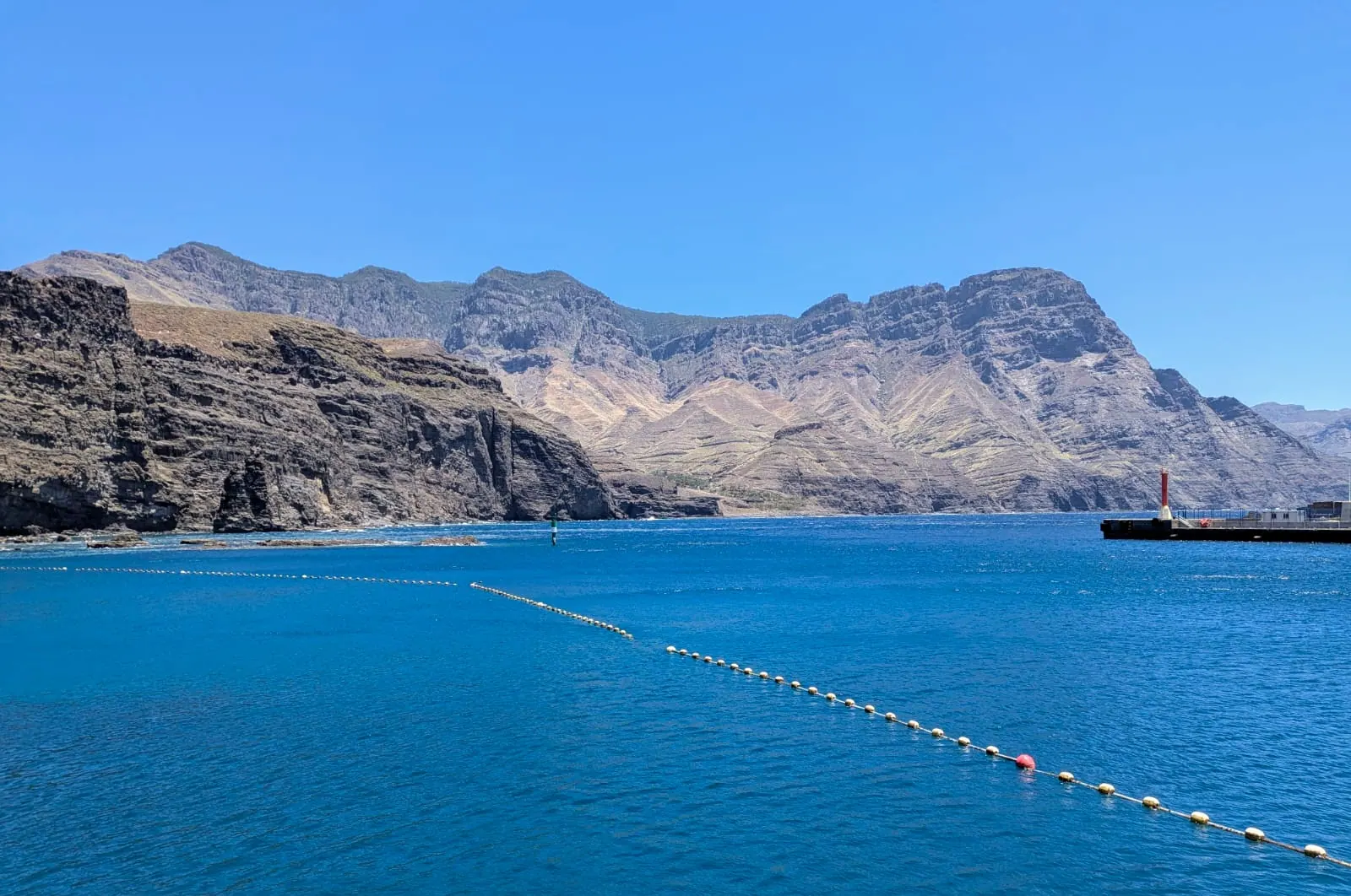
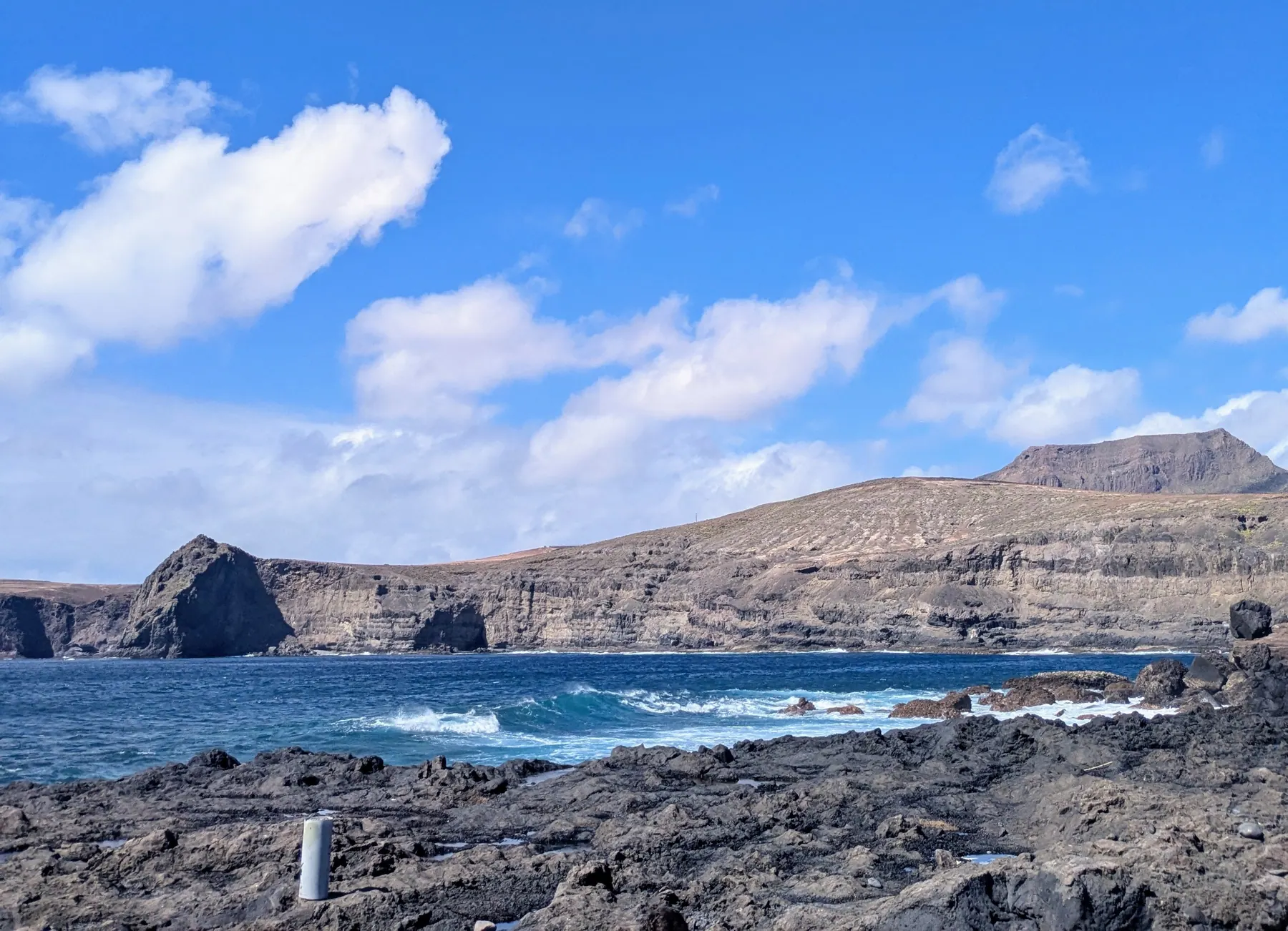
Agaete, on the northwest coast, gave us one of the best coastal landscapes of the week. The water is a very clear blue and the cliffs come down hard against it, and the contrast is striking. The village itself is worth a stroll as well, and there are plenty of seafood restaurants where you can sit down and eat with the view in front of you. We did, and honestly the view was the best thing on the table.
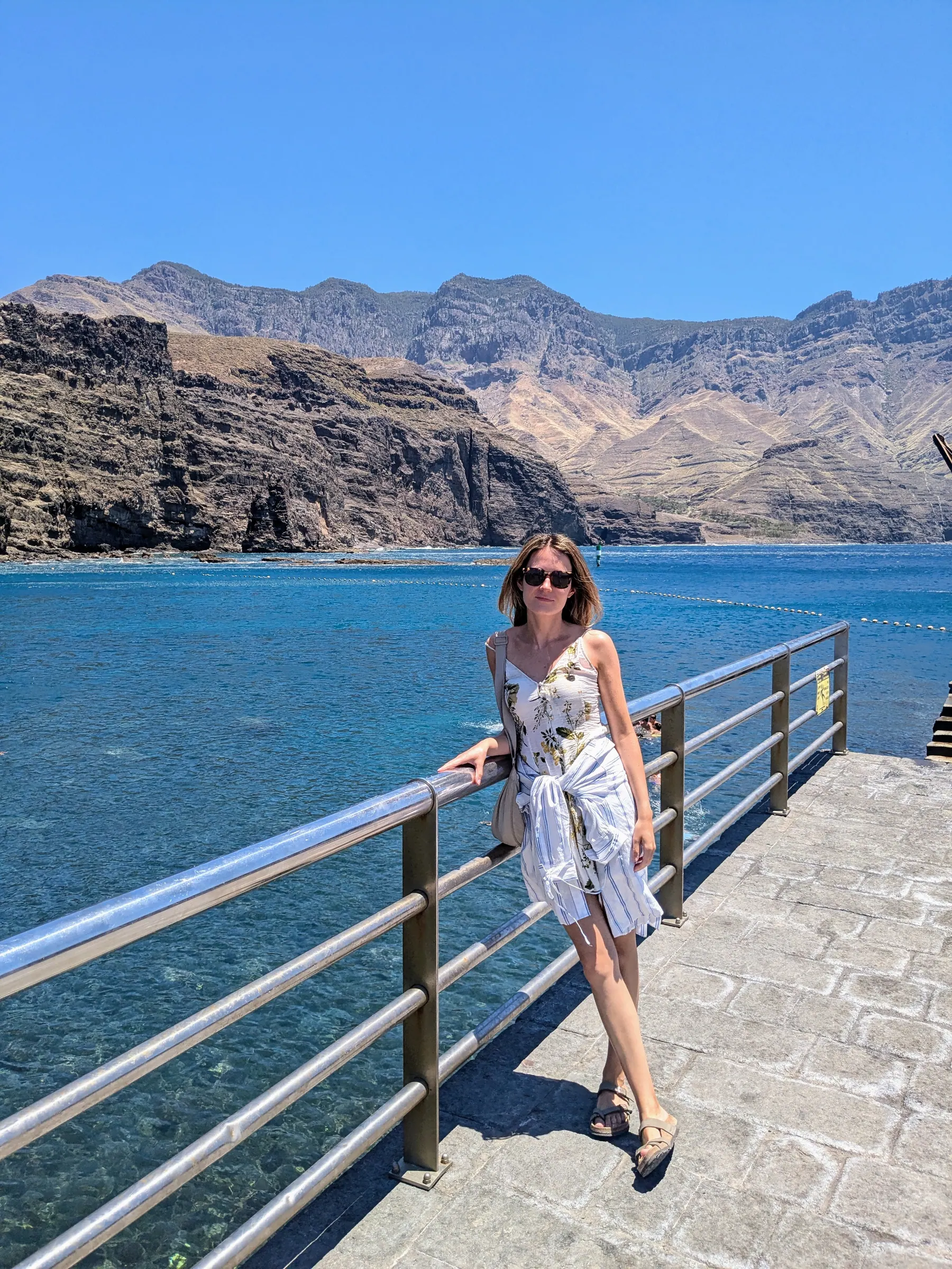
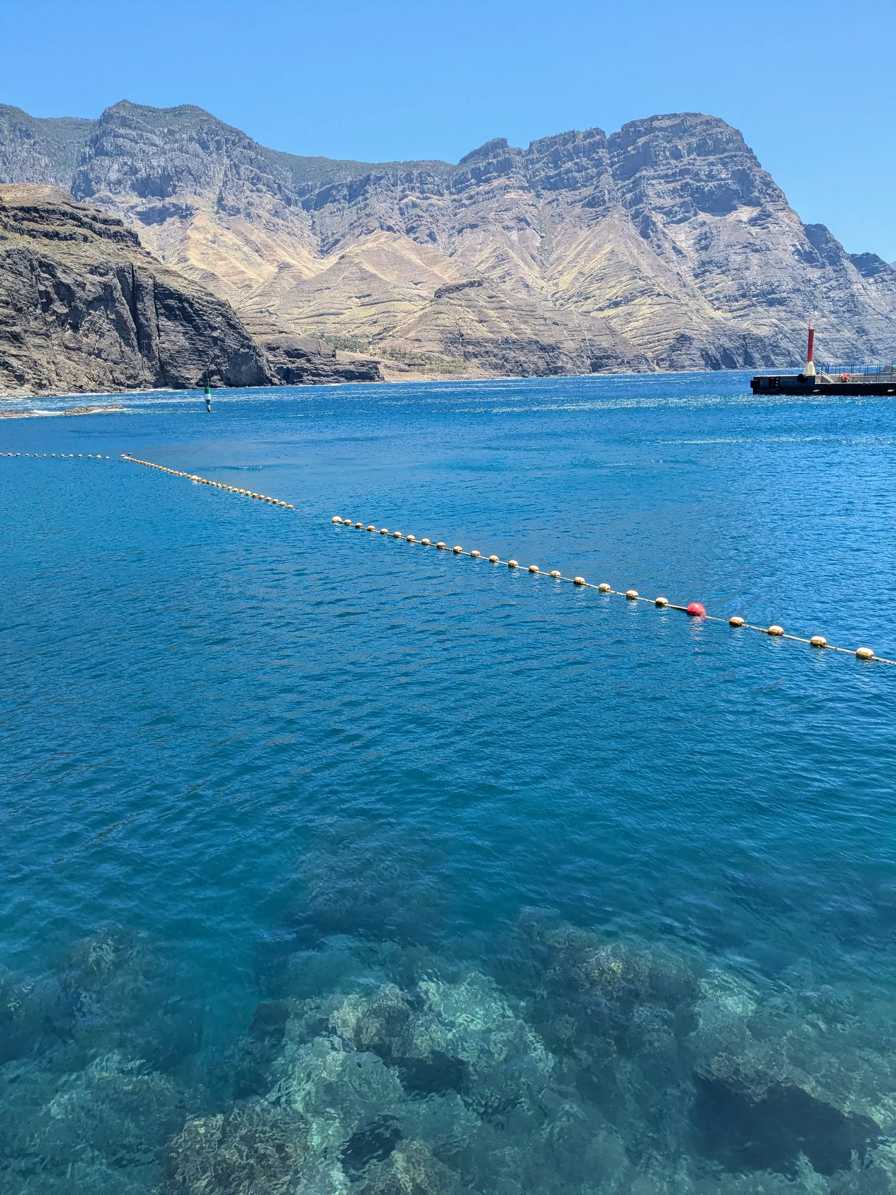
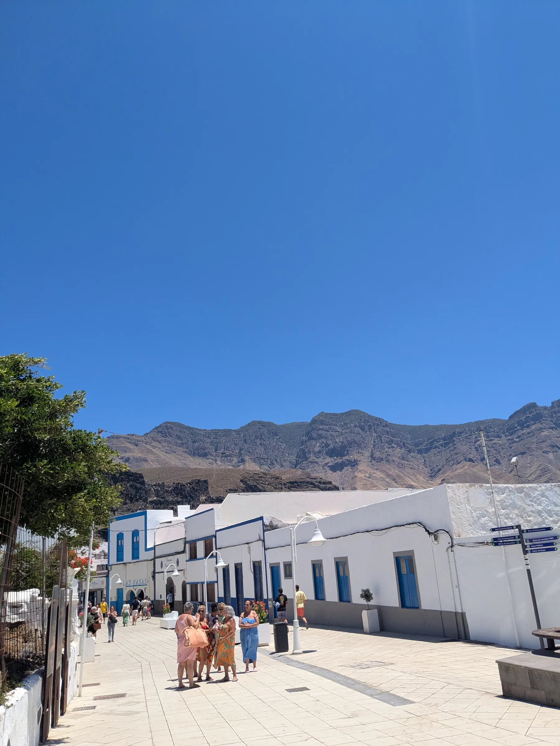
Off the shore is the island’s most famous rock, the Dedo de Dios - God’s Finger. Its real name is Roque Partido, and the nickname was given by Domingo Doreste, the same writer who called Gran Canaria a miniature continent. The catch is that from Agaete itself it more or less vanishes into the cliffs it was once part of, so you need a different angle to see it properly. It’s also missing its finger: tropical storm Delta snapped the top off in November 2005, and the islanders still talk about it.
There are natural sea pools here as well, the Agaete piscina natural, free to use. It’s rocky and there’s no sand to lie on, but for swimming it’s perfect. We spent a while there and it was a good break, with plenty of sun - though expect company. It gets busy.
One thing worth knowing if you have longer: three kilometres inland from the port, the Agaete valley is a deep ravine with a microclimate of its own, where mangoes, papayas and coffee grow. We didn’t have the time to stop, which I regret. Next time, certainly.
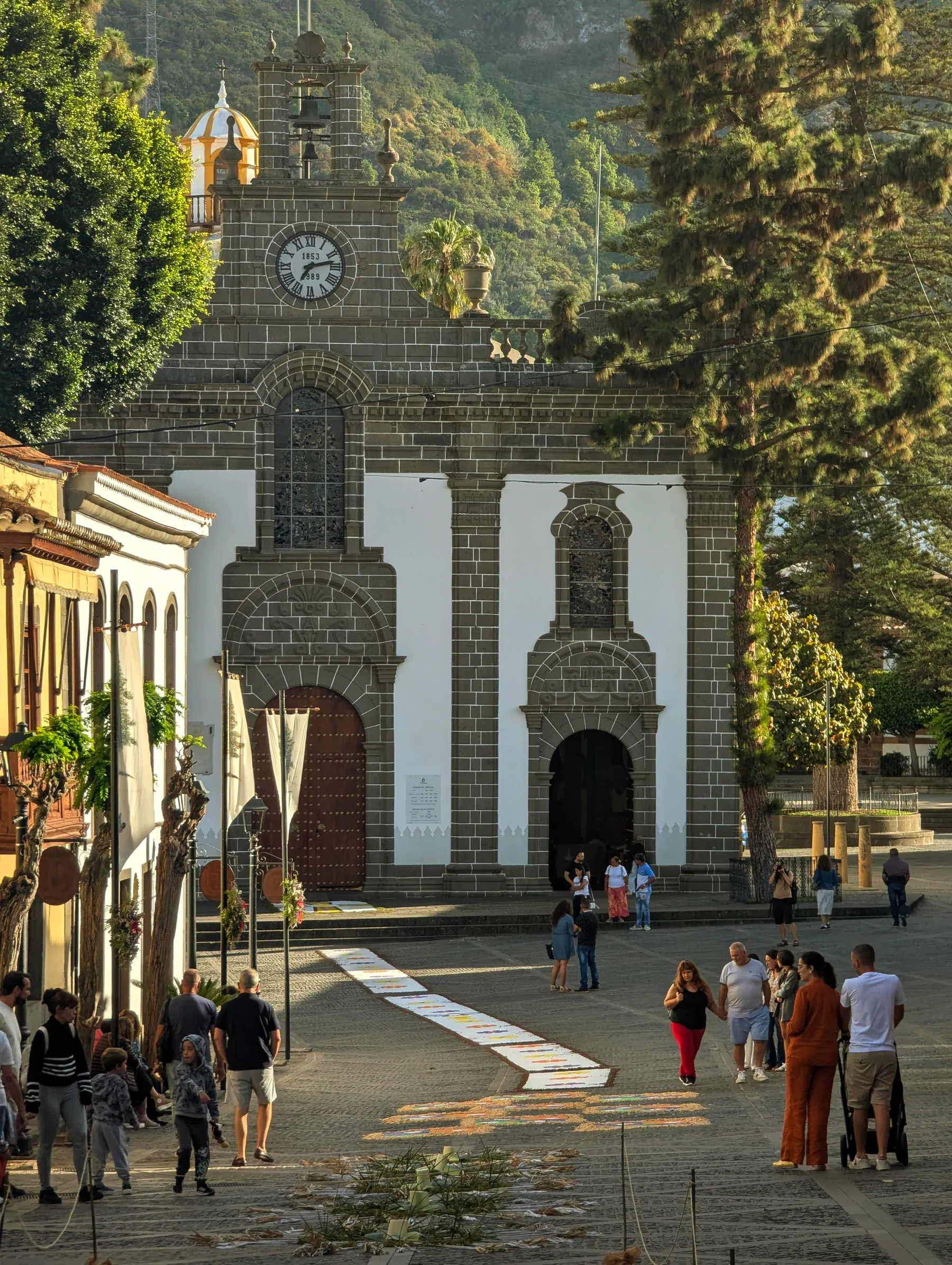
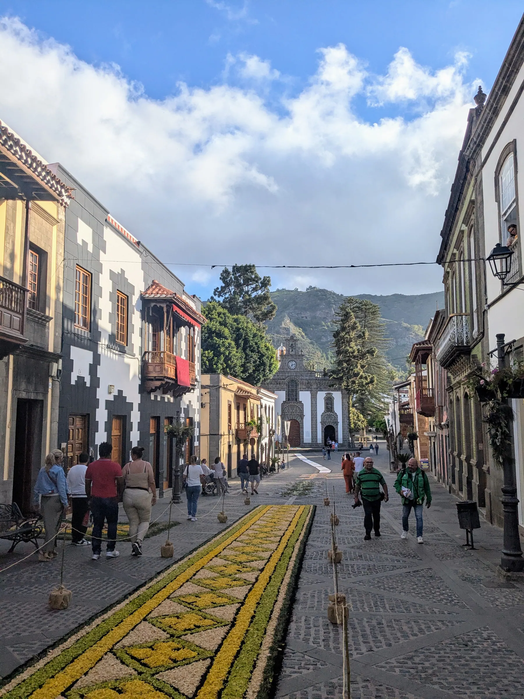
Teror, inland in the north, sounds alarming in English and is nothing of the sort. It’s one of the towns I’d tell anyone to stop at, and it matters more than its size suggests: its basilica holds the Virgen del Pino, the patron saint of Gran Canaria, which makes this the island’s main pilgrimage town. When we were there the main street up to the church had been laid with flower carpets for Corpus Christi - intricate patterns made from petals and coloured salt, worked on for hours and then walked over by the procession. It was a good accident of timing. The whole town is cute, with beautifully ornamented houses.
Arucas, in the north-east not far from Las Palmas, has what everybody calls the cathedral, standing over the town. You see the scale of it straight away, well before you reach the centre. It isn’t technically a cathedral - it’s the church of San Juan Bautista - but it’s so large and so Gothic that nobody bothers with the distinction. It’s built from the dark blue-grey volcanic stone quarried nearby, which is why it looms the way it does. There were festivities on when we visited, so we walked around and let the town get on with it.
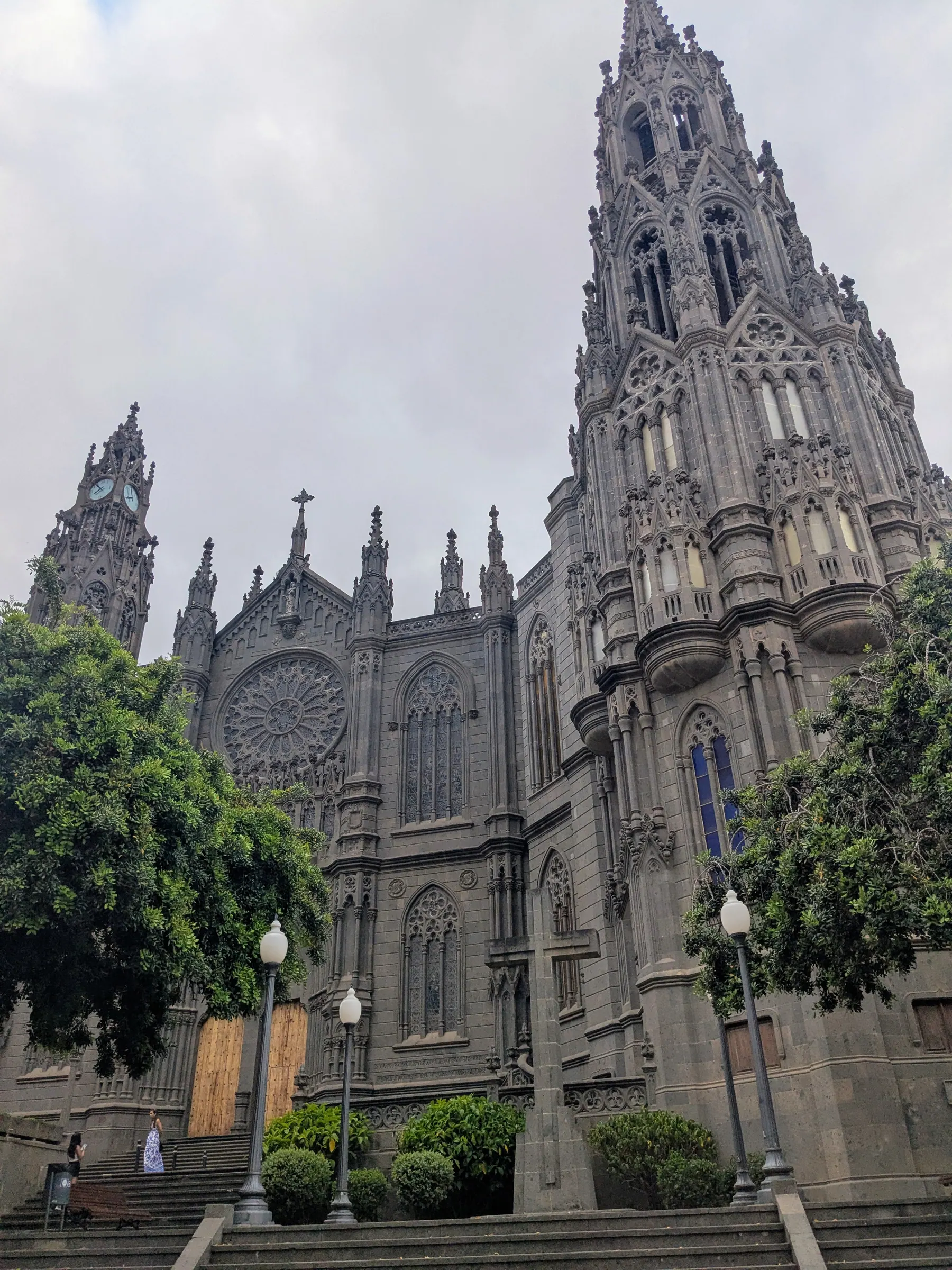
Honestly, it wasn’t my favourite village on the island - Teror, Fataga and Tejeda all appealed to me more. But the church is worth seeing, and it’s an easy stop rather than a detour.
Las Palmas, on the north-east corner, is the capital, and it’s where people actually live. The climate is less reliably sunny here, which is precisely why it feels like a real city rather than a resort. Playa de Las Canteras, its city beach, is wide and very beautiful, and it manages to be two things at once. A long natural reef called La Barra sits a hundred and fifty metres offshore and shelters most of the bay, so the central stretch is calm enough to be a swimming pool with fish in it. At the far end, past the reef’s protection, the open Atlantic comes straight in - and that’s where the surfers are. Las Palmas is a real surf city, and you see boards being carried through the streets all day.
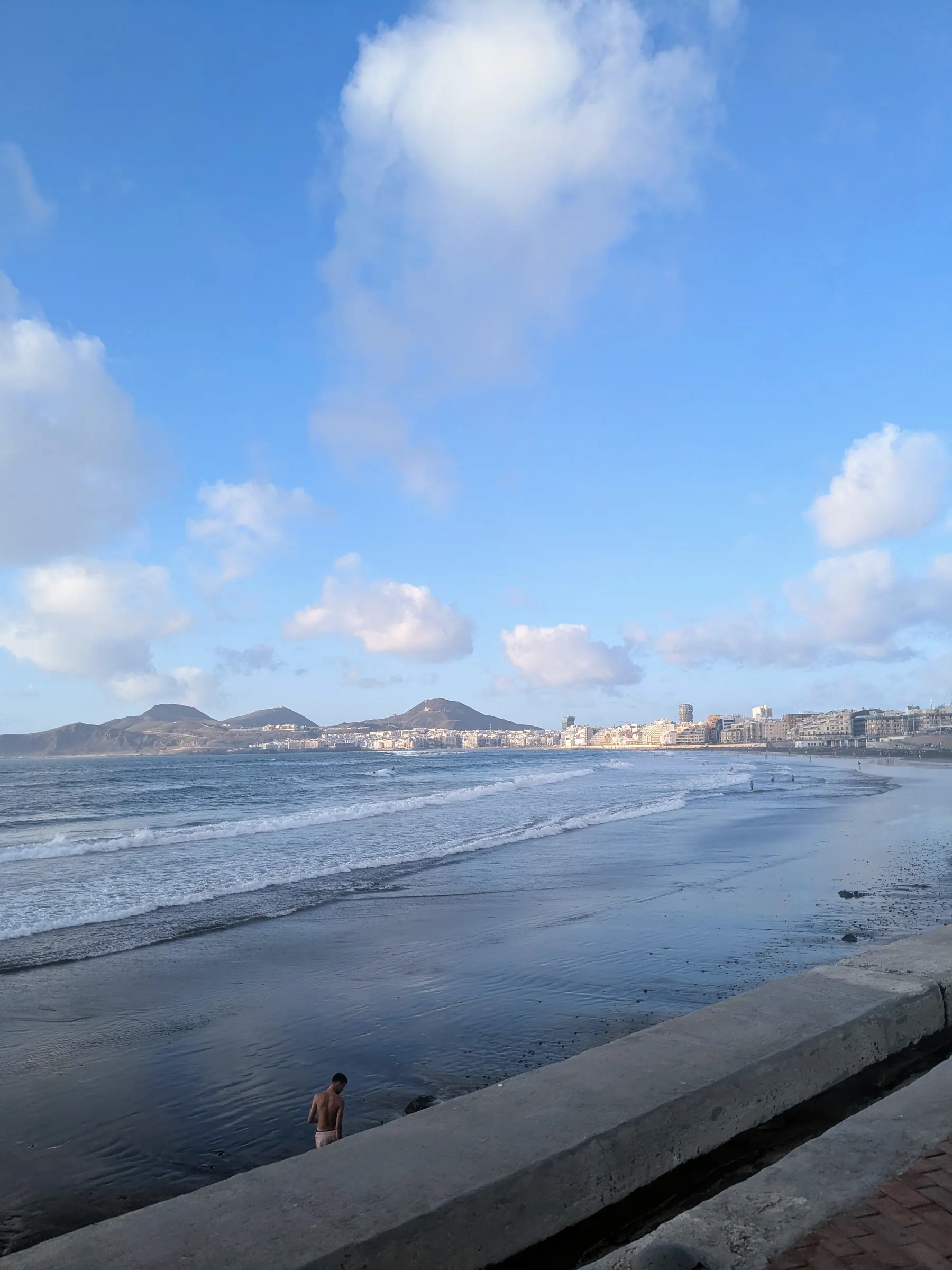
The centre has squares and churches worth a walk, and the town felt alive in a way the resorts don’t, especially at night - plenty of bars and restaurants, and no difficulty finding something to do. Most visitors fly in and drive straight past all of it.
The thing I remember best is in Plaza de Santa Ana, in front of the cathedral: eight iron dogs sitting in a row, facing the building. They’re podencos canarios, the island’s hunting breed, and they were placed there in 1895 - though nobody actually knows who bought them or why, since no record of the purchase exists.
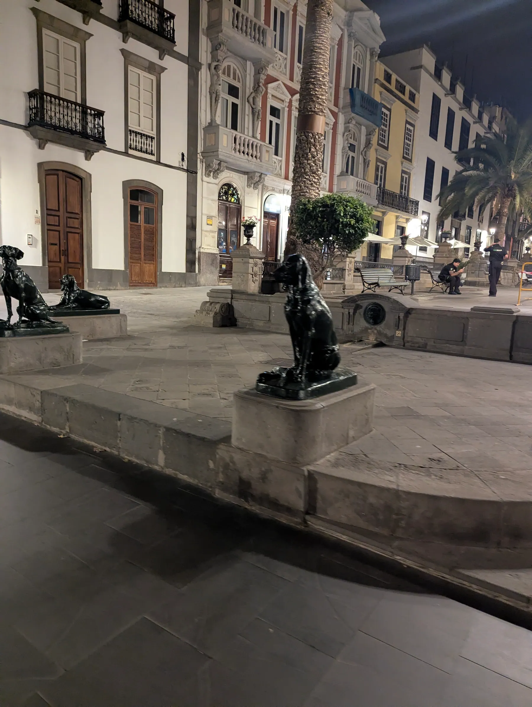
They’re also the answer to a question most people get backwards. The Canary Islands are named after dogs, not birds - from canis, after the large dogs Roman accounts described here. The canary bird is named after the islands.
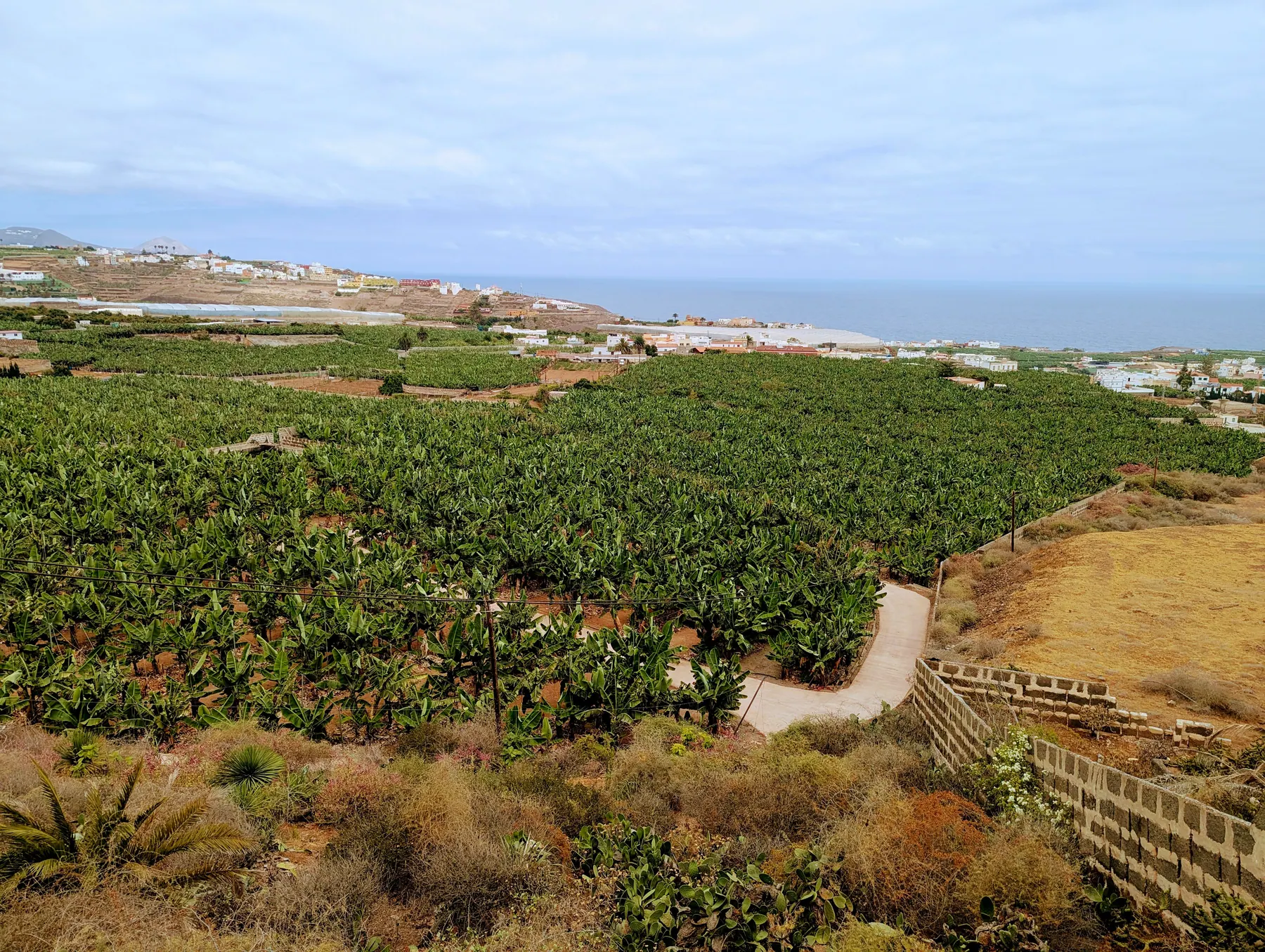
Just outside Las Palmas, Mundo del Plátano is a working banana plantation that runs tours. Bananas are the island’s most important crop, and this is a chance to see how that actually works.
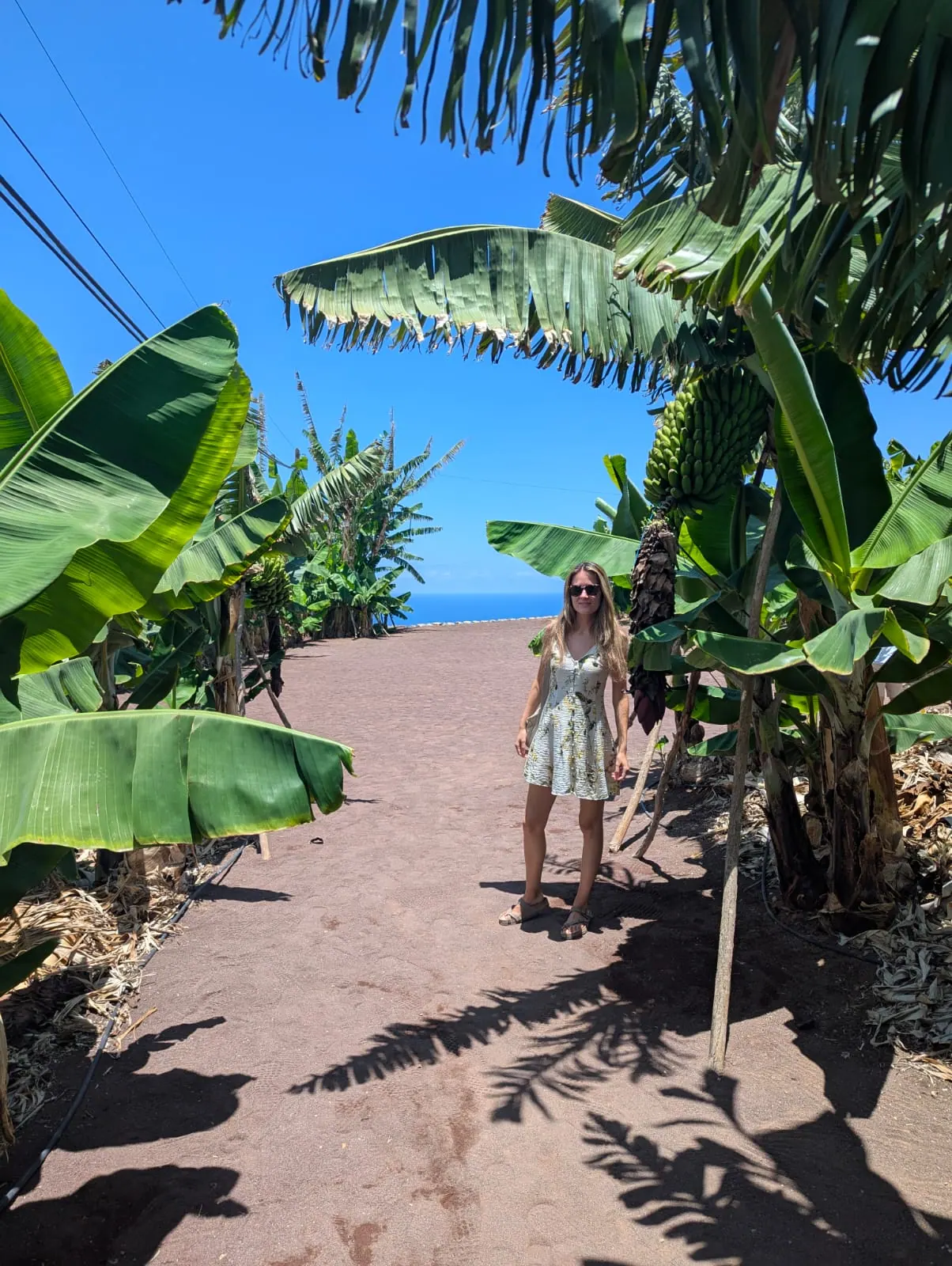
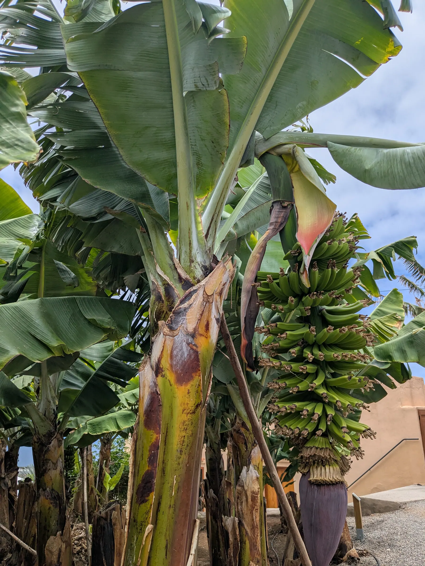
Tours run roughly every hour in Spanish and English, cost around €15, and you don’t need to book ahead. Ours lasted about 45 minutes: you’re walked round the plantation and shown the varieties and how they’re grown, and it ends at a tasting where you can try banana jams alongside other local things including mojo. The setting helps too - when you’ve had enough of bananas, the views run down to the sea.
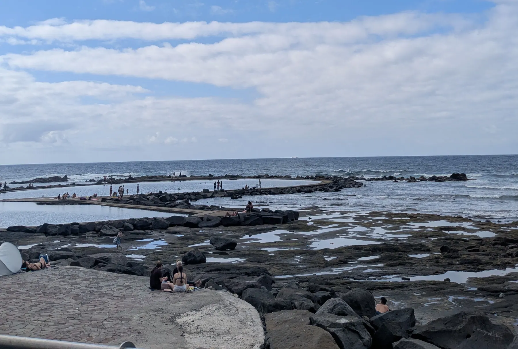
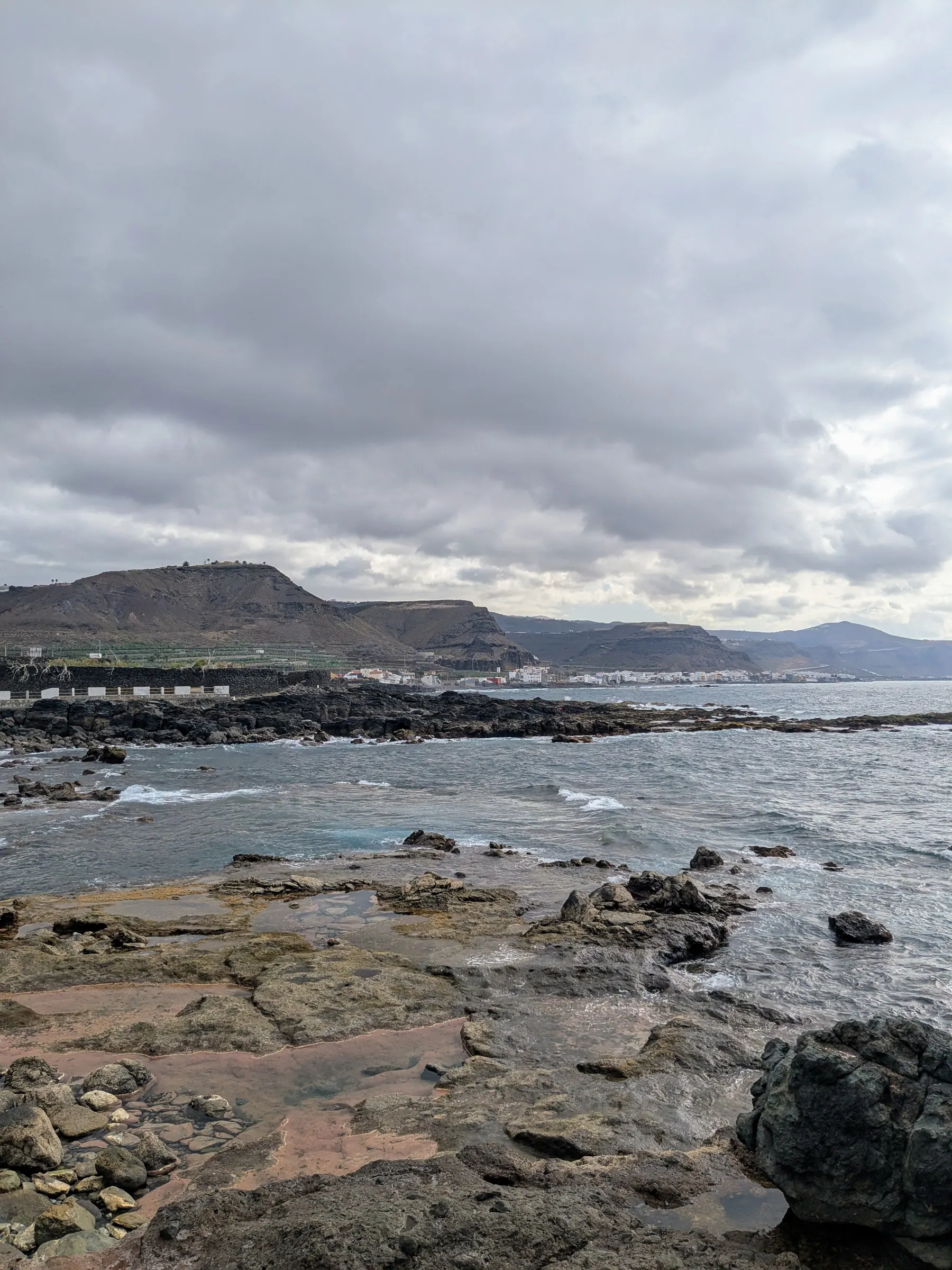
Los Charcones, on the north coast not far from Las Palmas, is another set of natural swimming pools sheltered from the open Atlantic by rock. It’s quieter than the ones at Agaete, partly because it gets less sun. When we were there it was essentially free of tourists and seemed to be a place islanders go rather than visitors, which is exactly why it’s worth the stop.
The interior: rock, cloud and almond trees - Roque Nublo, Tejeda & Artenara
Roque Nublo, in the centre of the island, is the obvious first stop, and it’s the island’s landmark - an 1,800-metre rock monolith standing on the central massif. It isn’t quite the highest point on Gran Canaria; that’s Pico de las Nieves, a little higher. But it’s the one you’ll recognise, and on a clear day you can see Teide, the volcano on Tenerife, from the top. We were lucky and did see it. I was in the Teide area on Tenerife about twelve years ago - I never went up the volcano itself, but I saw it from below, and seeing it again from another island was a strange, nostalgic thing.
An interesting detail is that the monolith itself rises about 80 metres above its base. The official Gran Canaria tourism board describes it as a Natural Monument, and the volcanic cycle that formed it gave its name to the Roque Nublo cycle, which lasted nearly two million years. Read the official geological background and current access information before you visit.
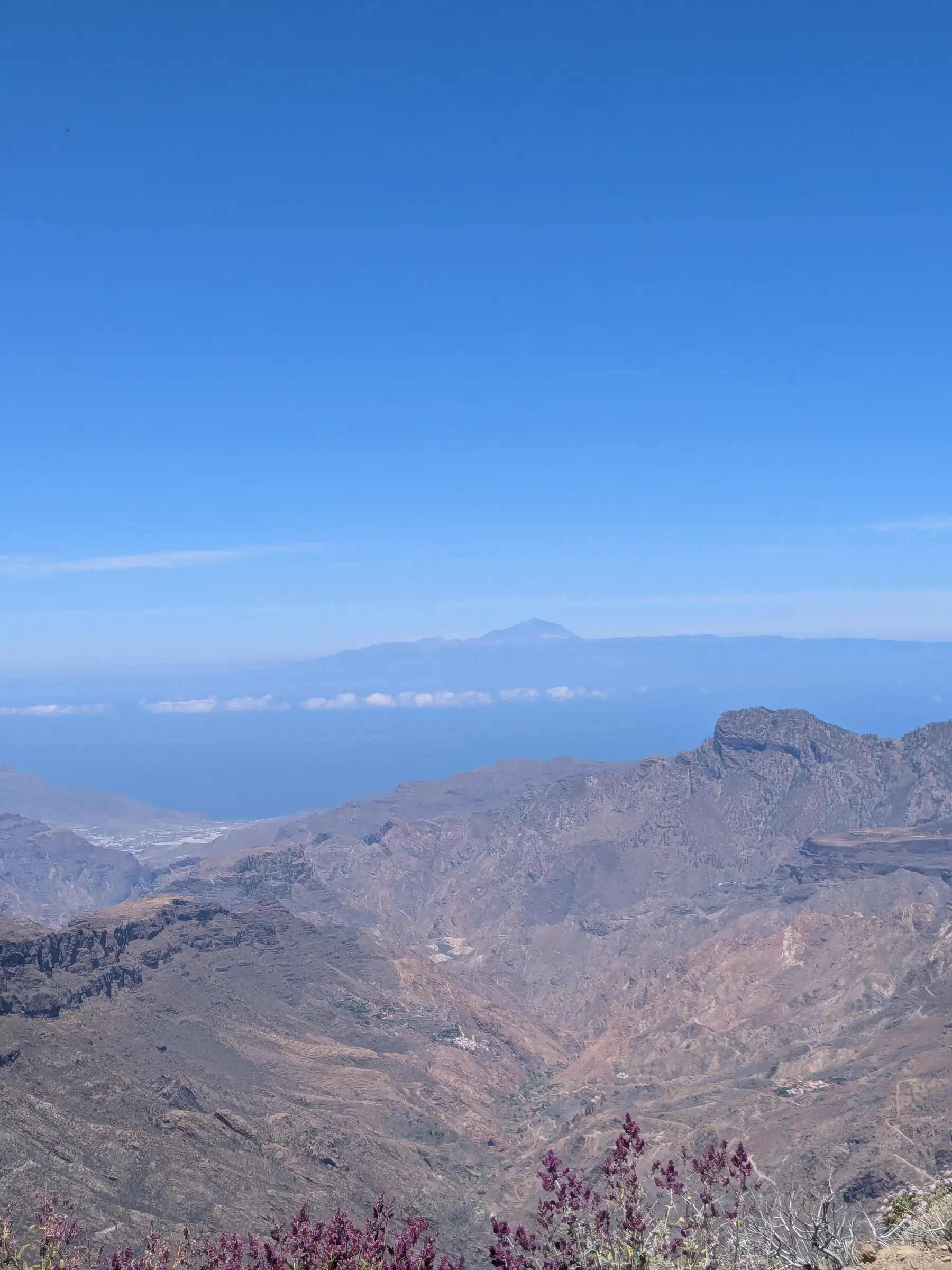
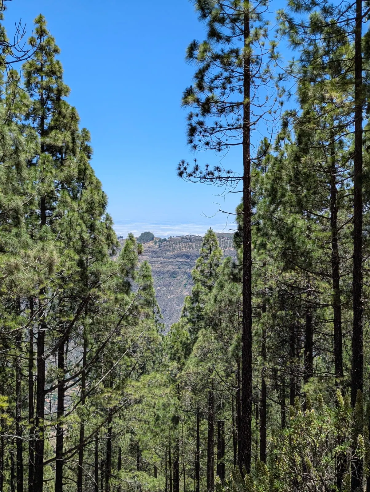
The path itself is straightforward: you follow it, and it took us roughly half an hour to reach the top, though some sections near the end are steep. It was a hot summer day and we ended up looking for shade under the rock itself. The view goes a long way - brown mountain ranges with cloud and water lying beneath them.
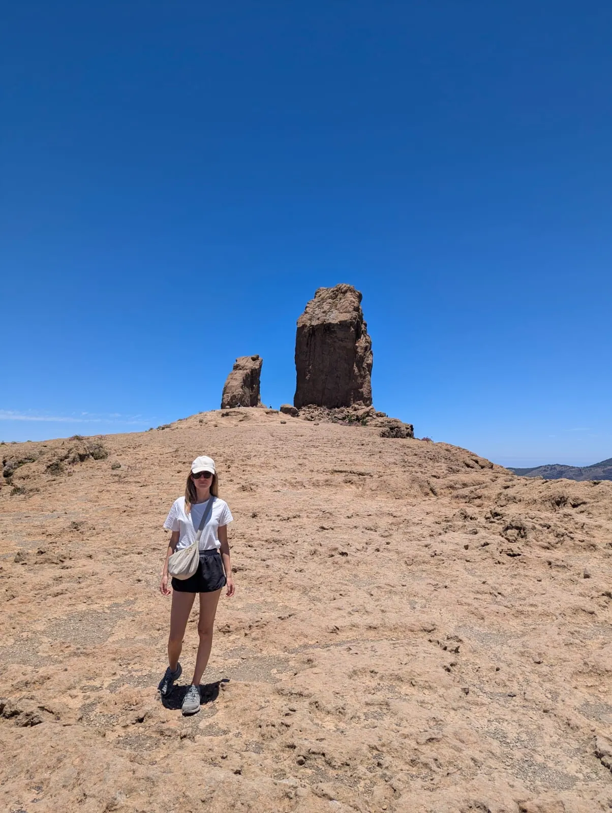
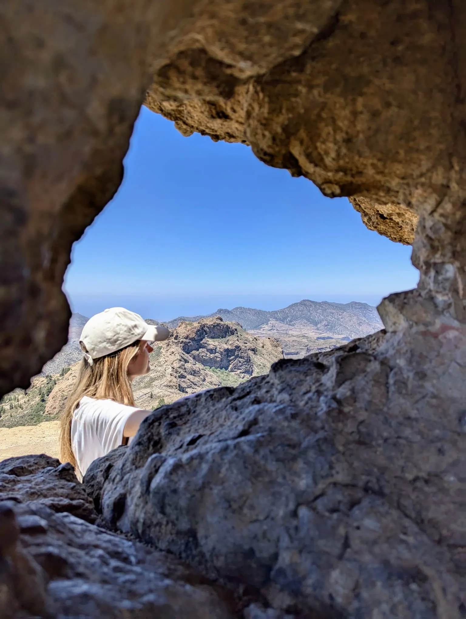
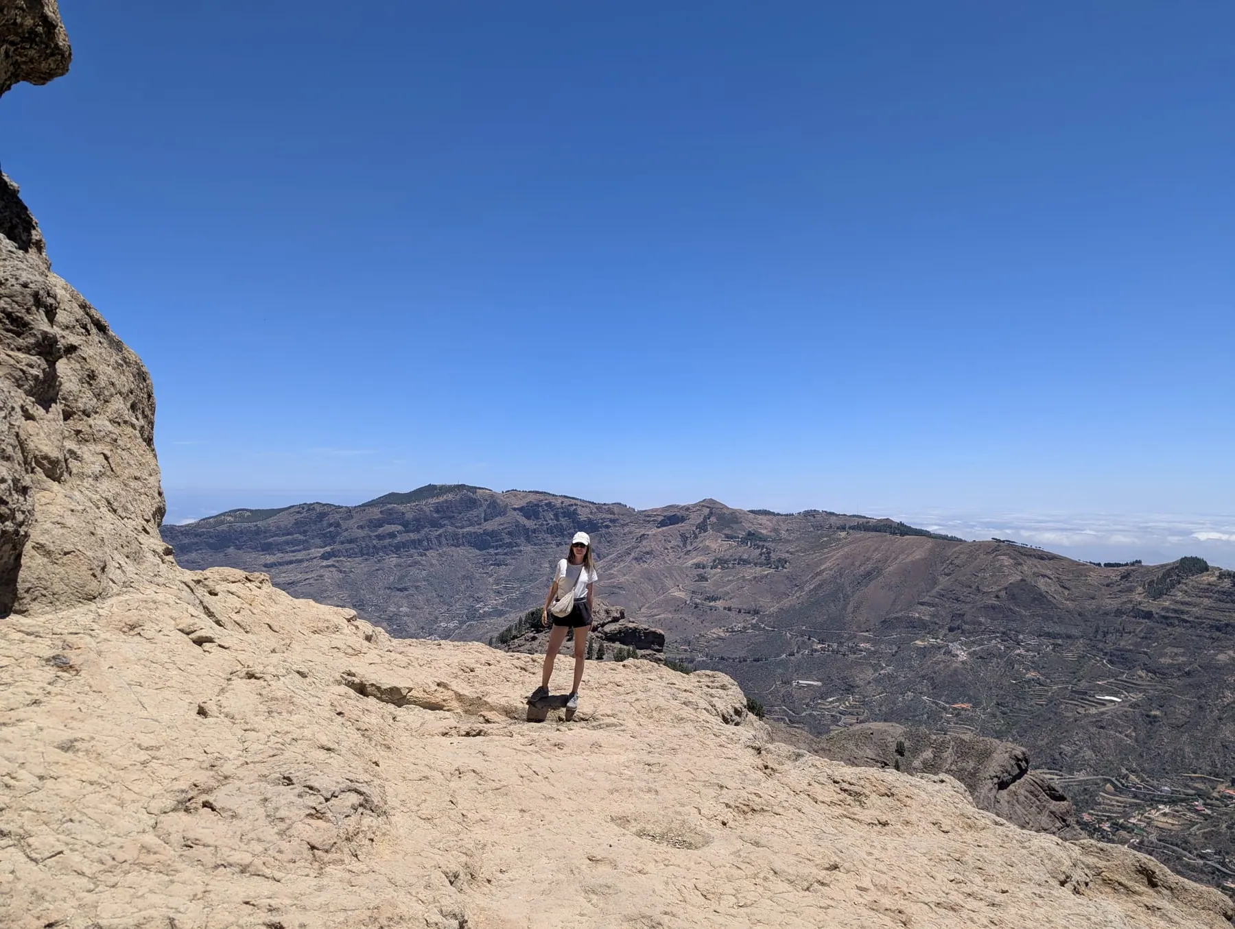
One thing to sort out before you go: you can no longer just drive up and walk. Roque Nublo now has a booking system and a shuttle, and the buses are infrequent - the details are in the practical notes at the end, and they’re worth reading before you set off. We didn’t, and spent two hours at a bus stop on the way back. Visiting Roque Nublo was one of the most unforgettable experiences in Gran Canaria: it is a landmark of the island, and the views there are incredibly beautiful.
Tejeda, in the caldera at the centre of the island, is a lovely village and officially one of the prettiest in Spain. It’s almond country: the trees colonised these caldera slopes centuries ago and became the livelihood of the families up here, which is why almonds turn up in everything sweet on sale. We had a short walk around and an ice cream, which is about right for it.
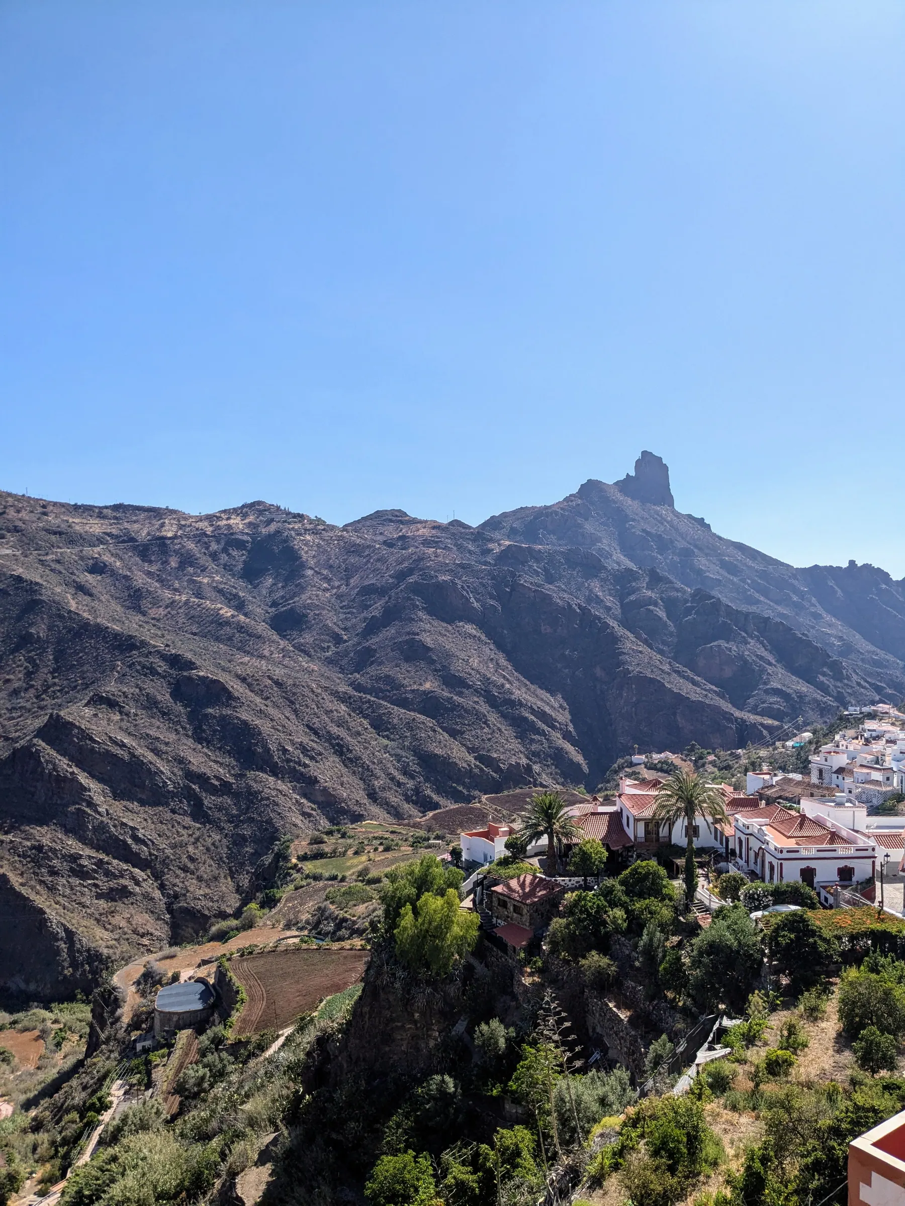
If you’re on the island in winter, this is where you’d want to be. The Fiesta del Almendro en Flor, the almond blossom festival, runs in Tejeda between late January and early February, when the slopes turn white and pink. It started in 1969 and it’s one of the oldest festivals in the Canaries - folk music, traditional wrestling, craft stalls and a great deal of almond-based food. Dates shift each year with the blossom, so check before planning around it.
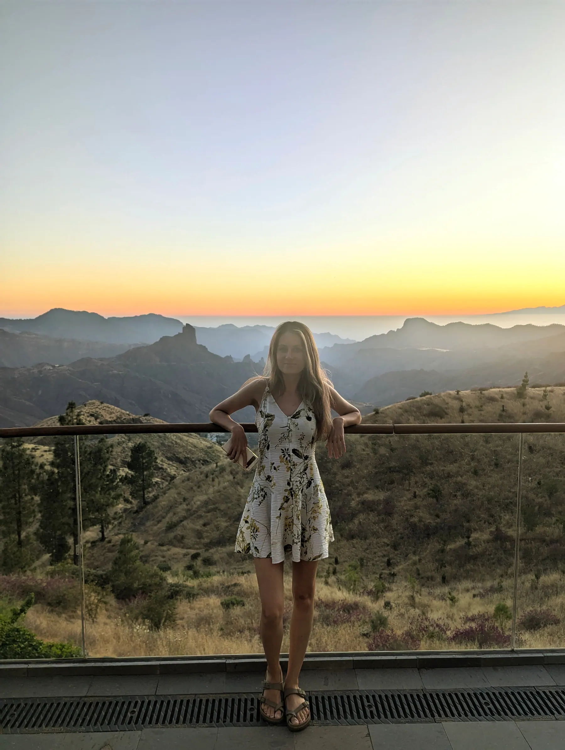
Cruz de Tejeda is where we stayed, at the Parador de Cruz de Tejeda, and it’s worth it for the view alone. We had a terrace looking straight out at the mountains, with both Roque Nublo and Roque Bentayga in front of us, and at sunset it was extraordinary.
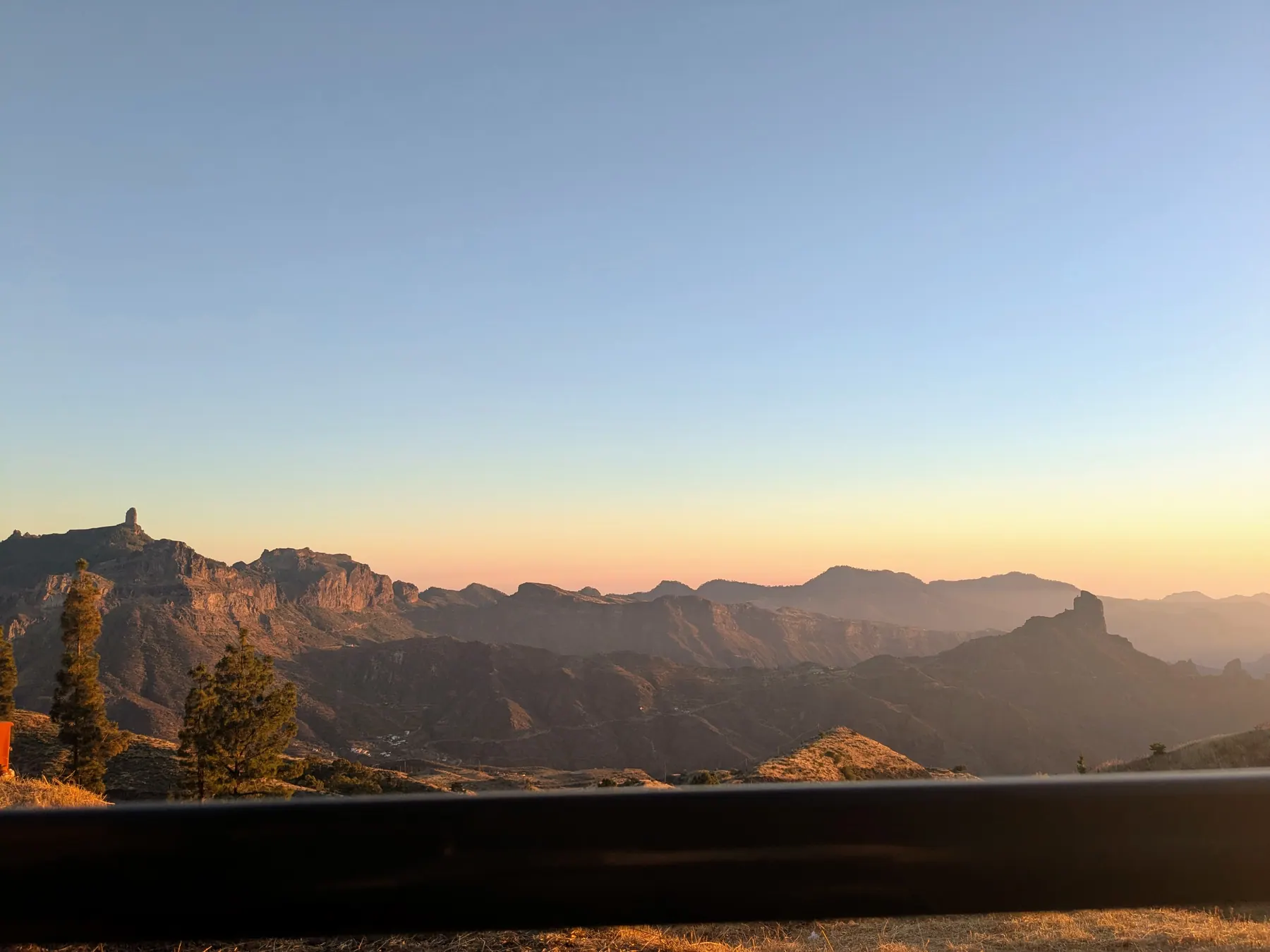
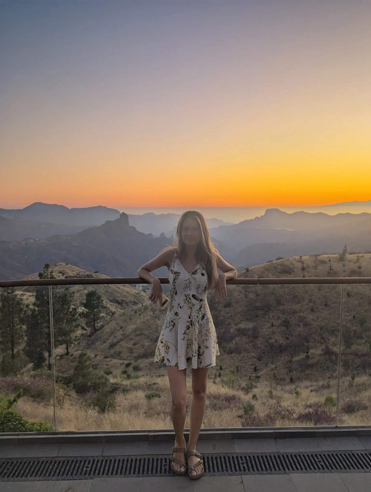
What I liked about the hotel is that it doesn’t announce itself. It’s a beautiful building, but it sits into the landscape rather than on top of it, which is not something you can say about most of the accommodation on this island. It stands at around 1,500 metres, so you’re properly up in the mountains rather than looking at them from below. The restaurant was very good too, and it cooks with local produce and Canarian dishes rather than the international menu you get on the coast.
The place takes its name from the stone cross that stands here, at the meeting point of the old roads that cross the island - you’re more or less at the centre of Gran Canaria, and it feels like it.
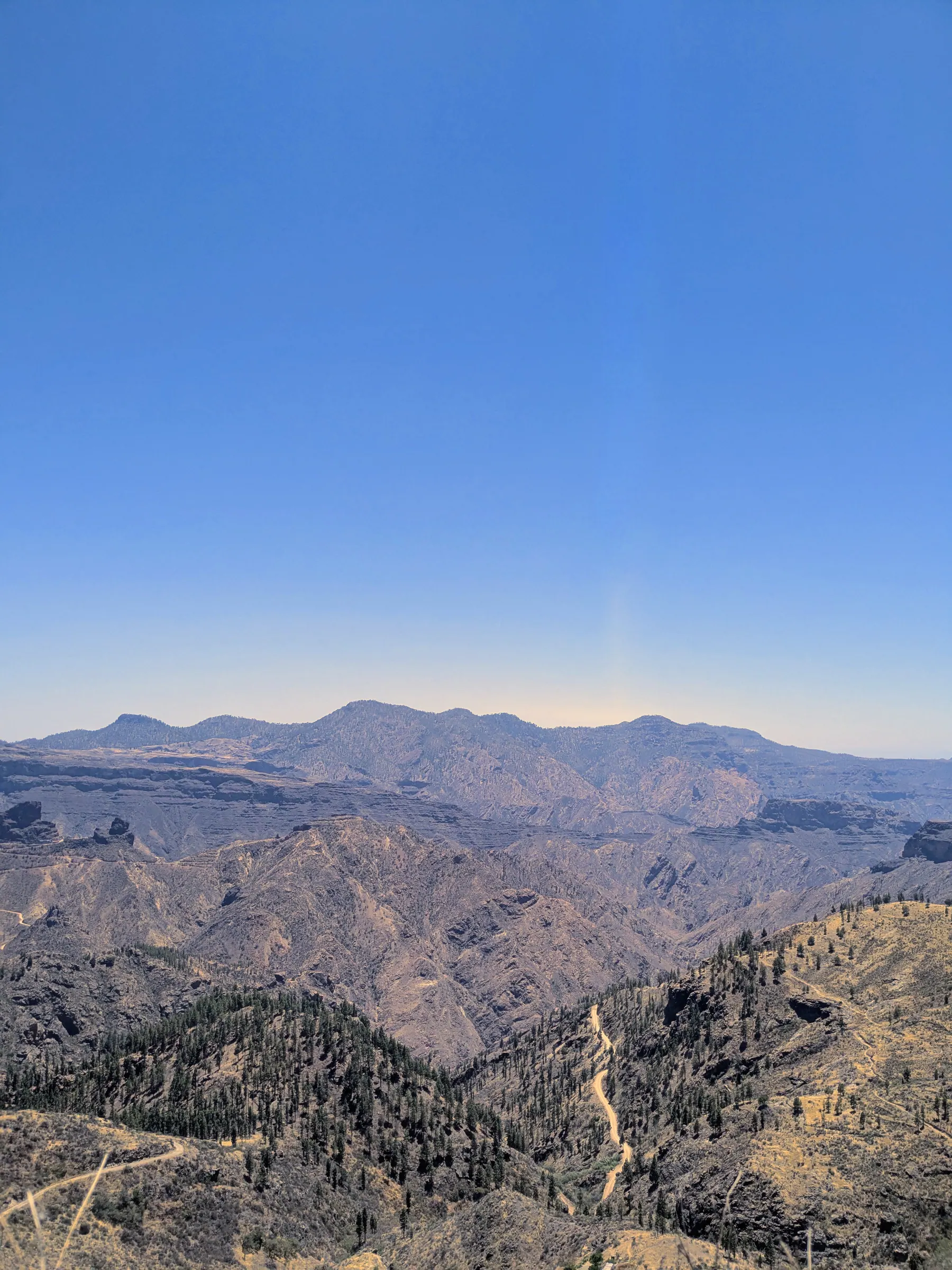
I would advise people to discover this less popular part of the island: Artenara and the roads around it. We saw most of this from the car, driving the western highlands, and the contrast with the crowded coast is total - we barely met anyone. Some of the landscapes were startling: dried-out and burnt fields that gave the whole area a strange, abandoned look. This is the quietest part of the island, with the fewest places built for visitors, and it feels emptied out compared with everywhere else we went.
We came up from Los Tilos in the north and worked our way across. First the Monte Pavón trail area, then out to the Museo Etnográfico de Barranco Hondo area in Gáldar, and from there along the road towards Artenara.
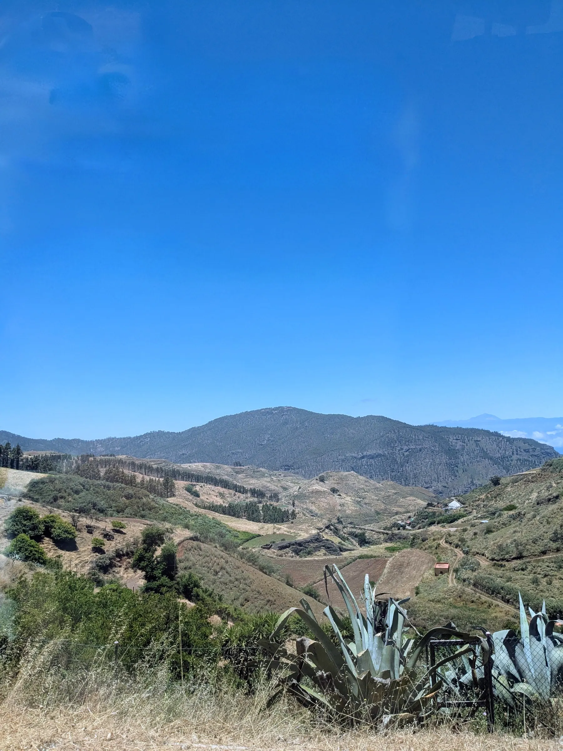
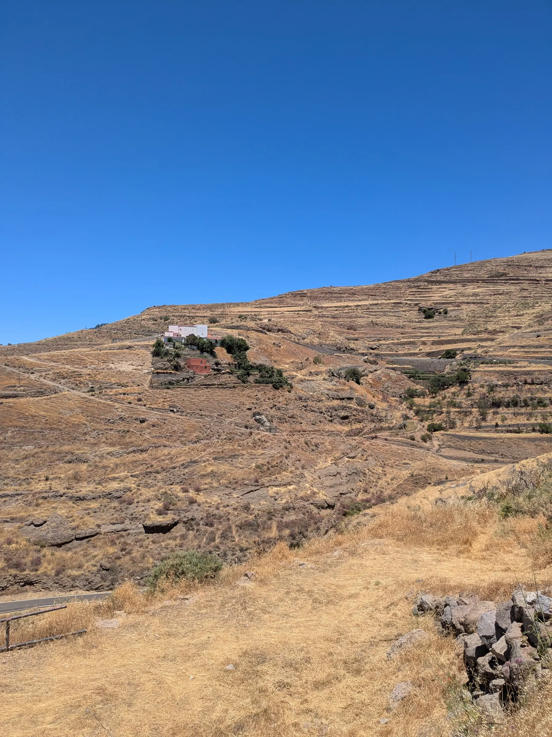
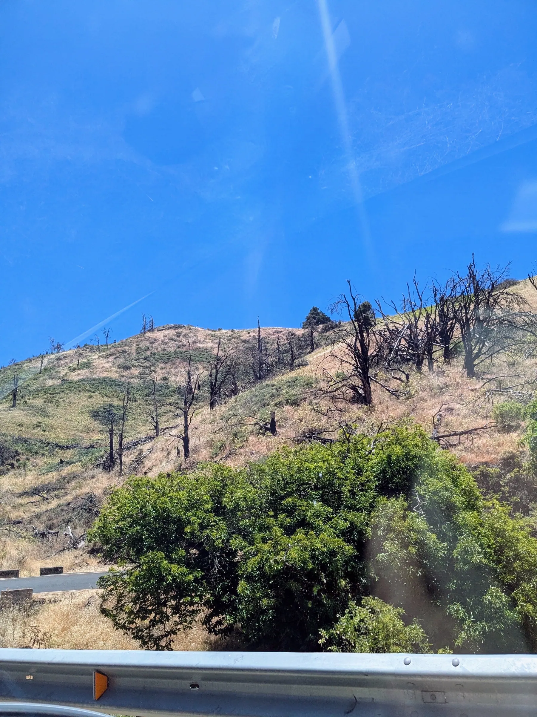
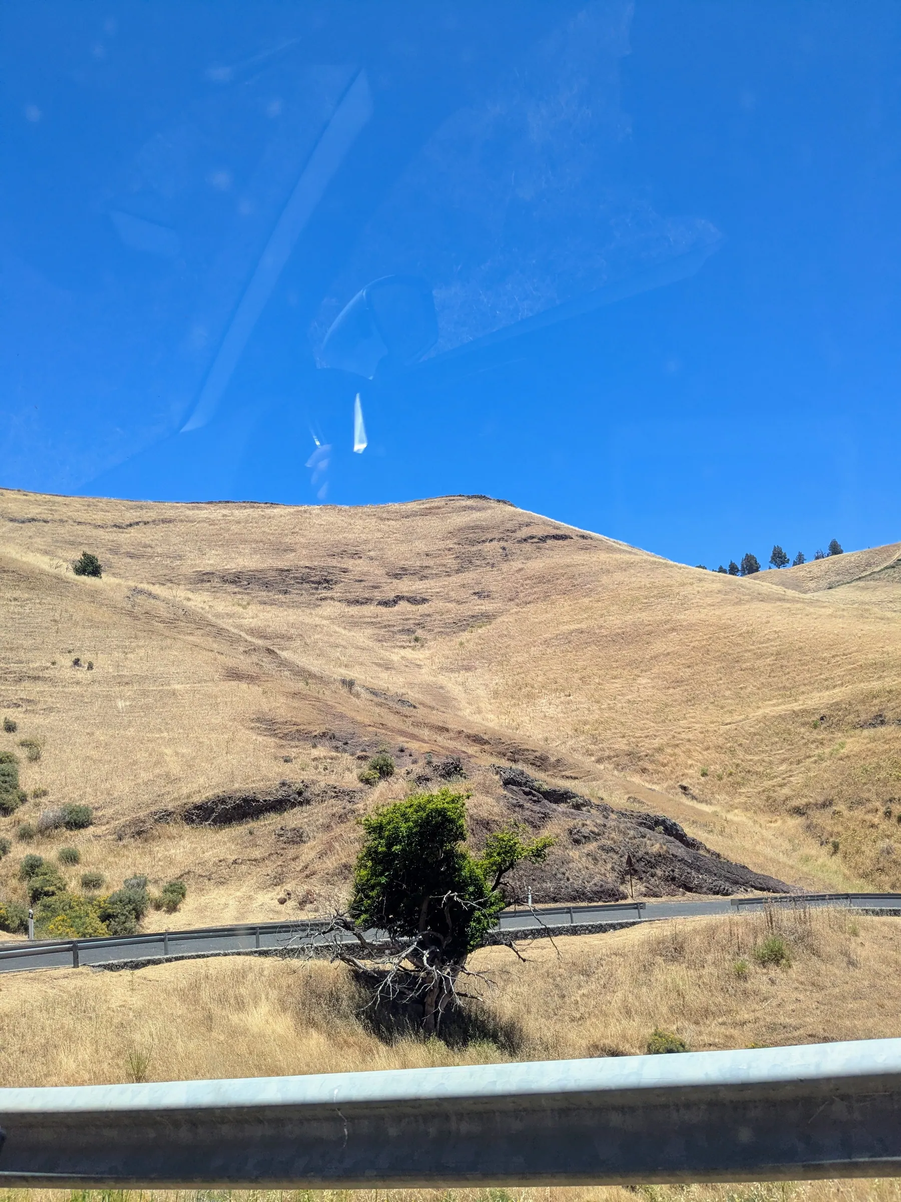
A little further up from the Mirador de los Garajes, volcanic sand formations appear beside the road.
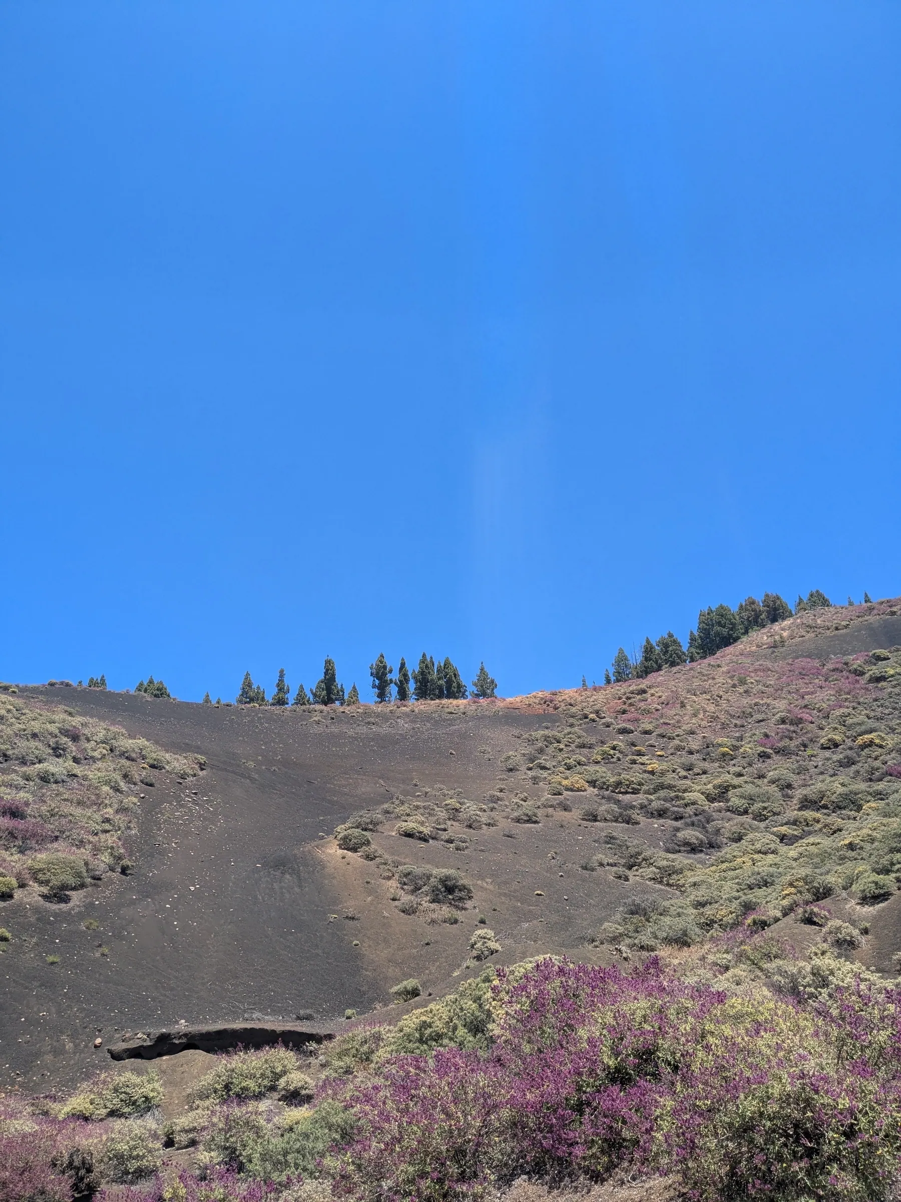
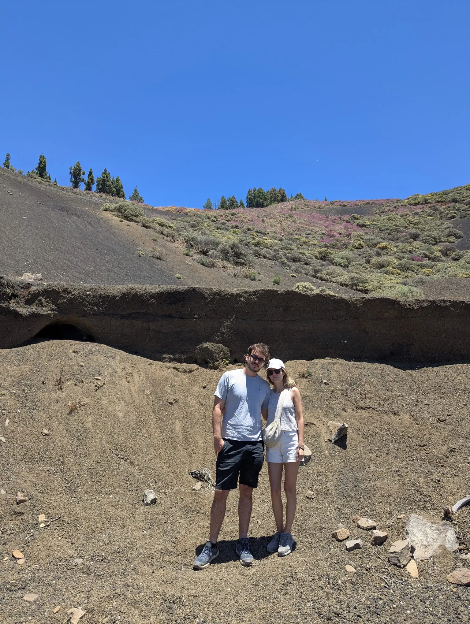
The Mirador de la Atalaya is another viewpoint we stopped at along the way - and there were plenty of others. That’s what this road does to you: the further you drive, the more often you want to pull over, because the views keep getting better and you don’t want to just pass through them.
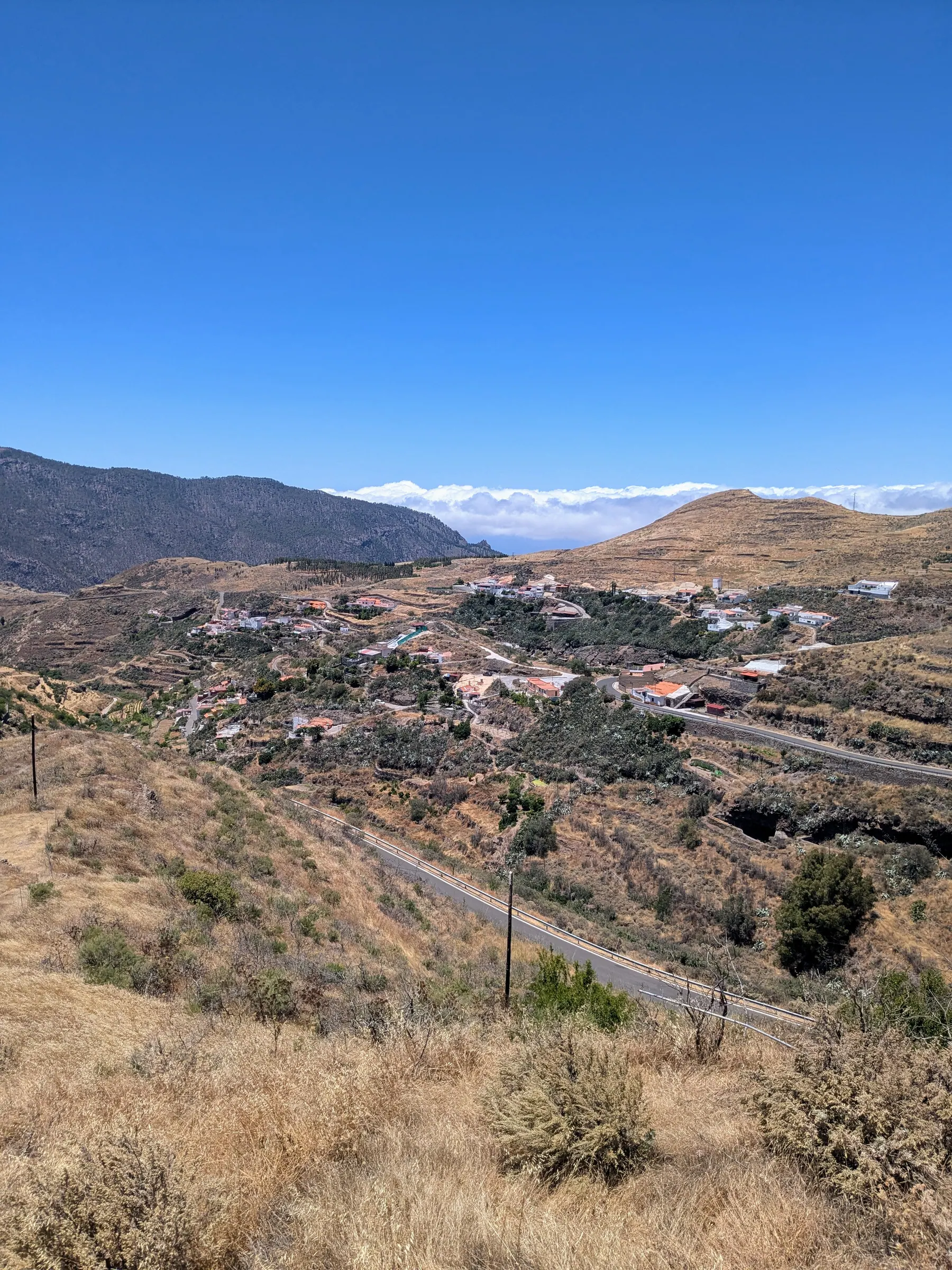
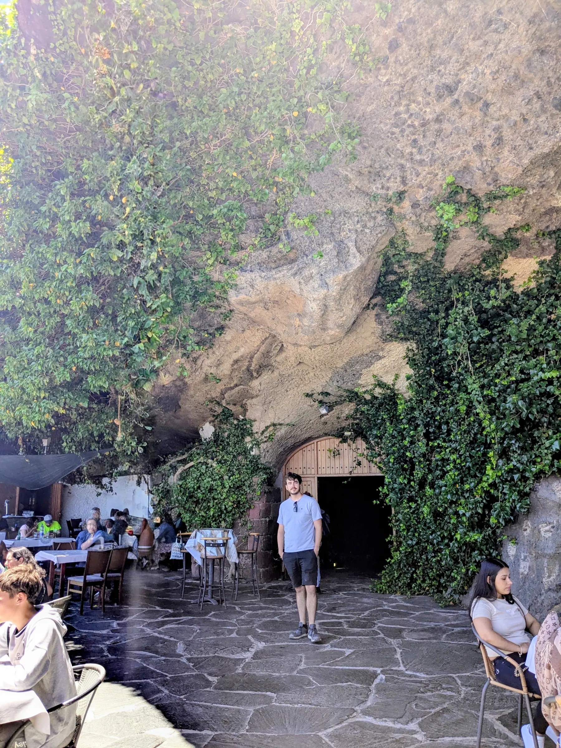
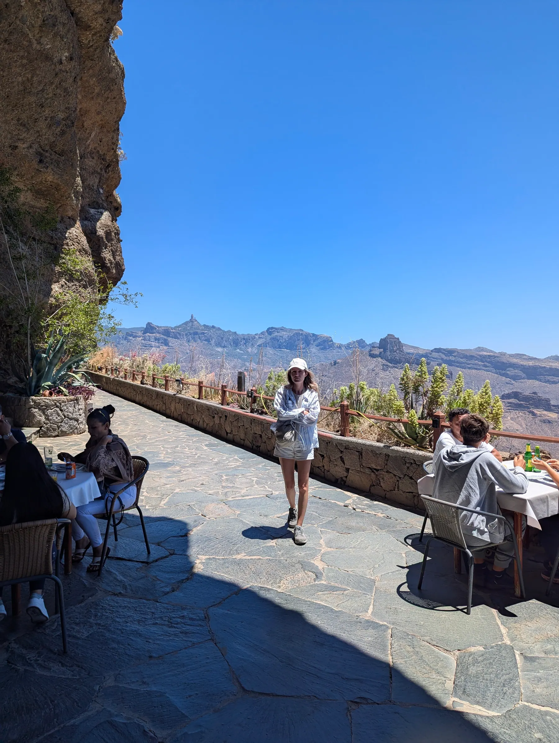
Artenara itself is a cave town. It’s the highest village on the island and much of it is built into the rock, including the restaurant where we had lunch - La Cilla, which you reach through a fifty-metre tunnel cut straight through the hill, coming out onto a terrace on the other side. We went as much for the view as the food, and I’d say that’s the right way round: from the terrace you look across the Tejeda basin at both Roque Nublo and Roque Bentayga.
One thing worth knowing about this area: since 2019 it has been a UNESCO World Heritage Site, listed as the Cultural Landscape of Risco Caído and the Sacred Mountains of Gran Canaria. It covers around 180 square kilometres of the island’s centre, across four municipalities, and Artenara sits in the middle of it. So those empty roads run through a World Heritage landscape, which says something about how the island’s visitors distribute themselves.
Two things make up the name. Risco Caído is a specific site: a group of caves cut into the side of Barranco Hondo, the same ravine we’d driven out along, which divides Artenara from Gáldar. They were used as dwellings, granaries and places of ritual by the island’s pre-Hispanic people, who arrived from North Africa and developed here in isolation until the Spanish came in the 15th century. The Sacred Mountains are the wider set of archaeological sites scattered across the municipalities of Artenara, Tejeda, Agaete and Gáldar, along with the rock formations those people treated as holy - above all Roque Bentayga and Roque Nublo, each with a ceremonial site at its base. Which means the monolith you climb for the view is also part of the reason this whole landscape is protected.
Risco Caído itself is closed to visitors for conservation reasons, so you can’t see the caves. What you can do is go to the Centro de Interpretación del Paisaje Cultural de Risco Caído y Montañas Sagradas, in the middle of Artenara, which is dug into the mountain - a cave building, fittingly. Its centrepiece is a full-size replica of Cave 6, the one thought to have worked as a calendar: a beam of light enters through an opening and moves across triangles carved into the wall, marking the solstices and equinoxes. In the replica you can watch it happen. Open daily 10:00 to 17:00, and you need to book in advance on their website.
Twenty minutes further on from Artenara, along the GC-216, is the Tamadaba pine forest, one of the largest untouched areas on the island and the best-preserved stand of Canary pine anywhere in the archipelago. We didn’t get that far, but if you have the time it’s the obvious continuation of this road.
The south: past the resorts - Maspalomas, Fataga & Barranco de las Vacas
The south is the tourist half, and there’s no pretending otherwise. But there’s more behind it than the hotels suggest.
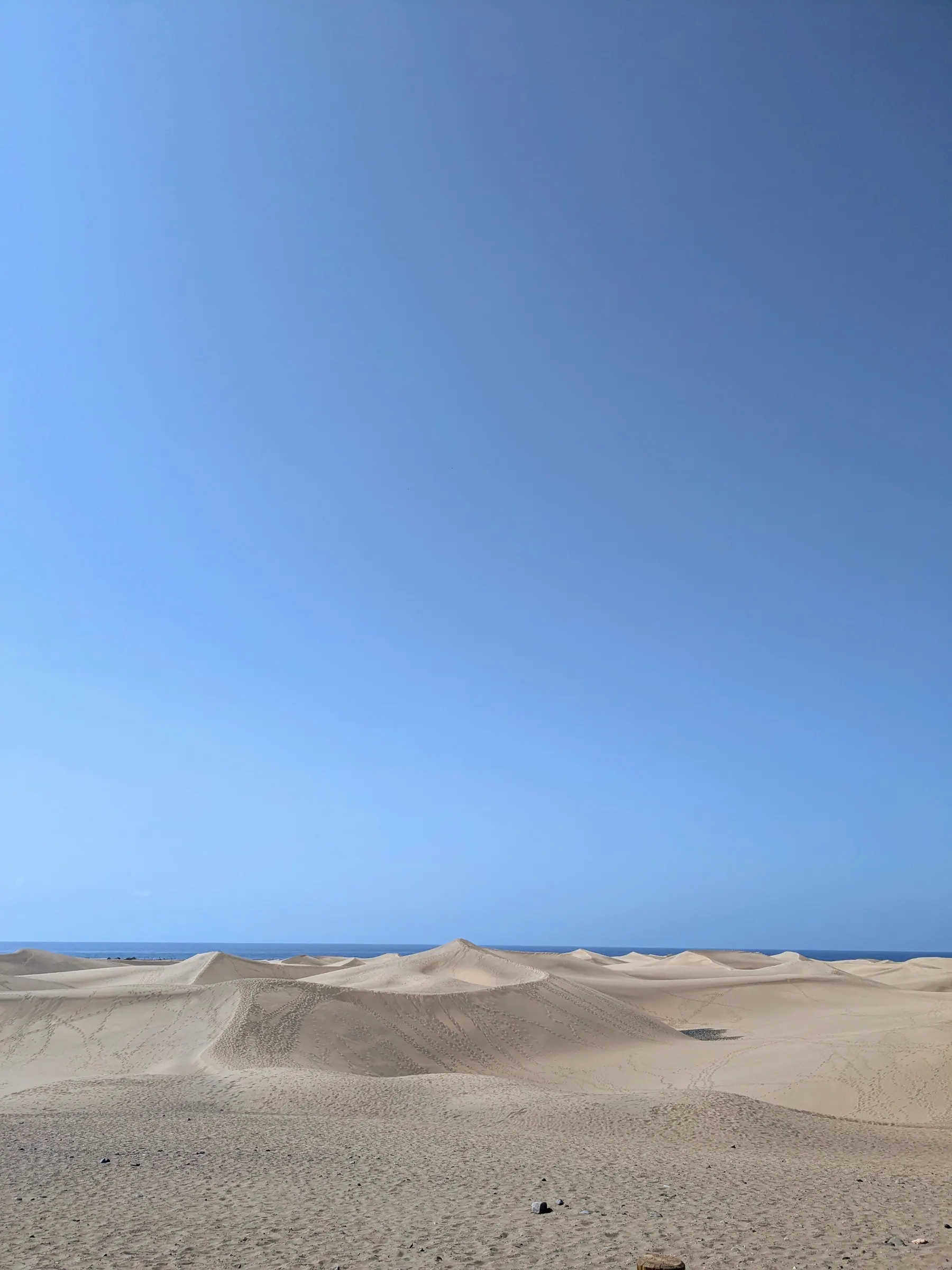
Maspalomas, on the southern tip, was the most touristic place I saw all week - a wall of resort hotels behind a wide beach. What makes it worth going anyway are the dunes, which are effectively a small desert running down to the sea, protected since 1987. You have to keep to the marked paths. It’s a fragile ecosystem, and yes, you will see people ignoring that.
An interesting detail is that the 403.9-hectare reserve is not only dunes: it also includes the Charca de Maspalomas, a lagoon that is an important nesting area for birds.
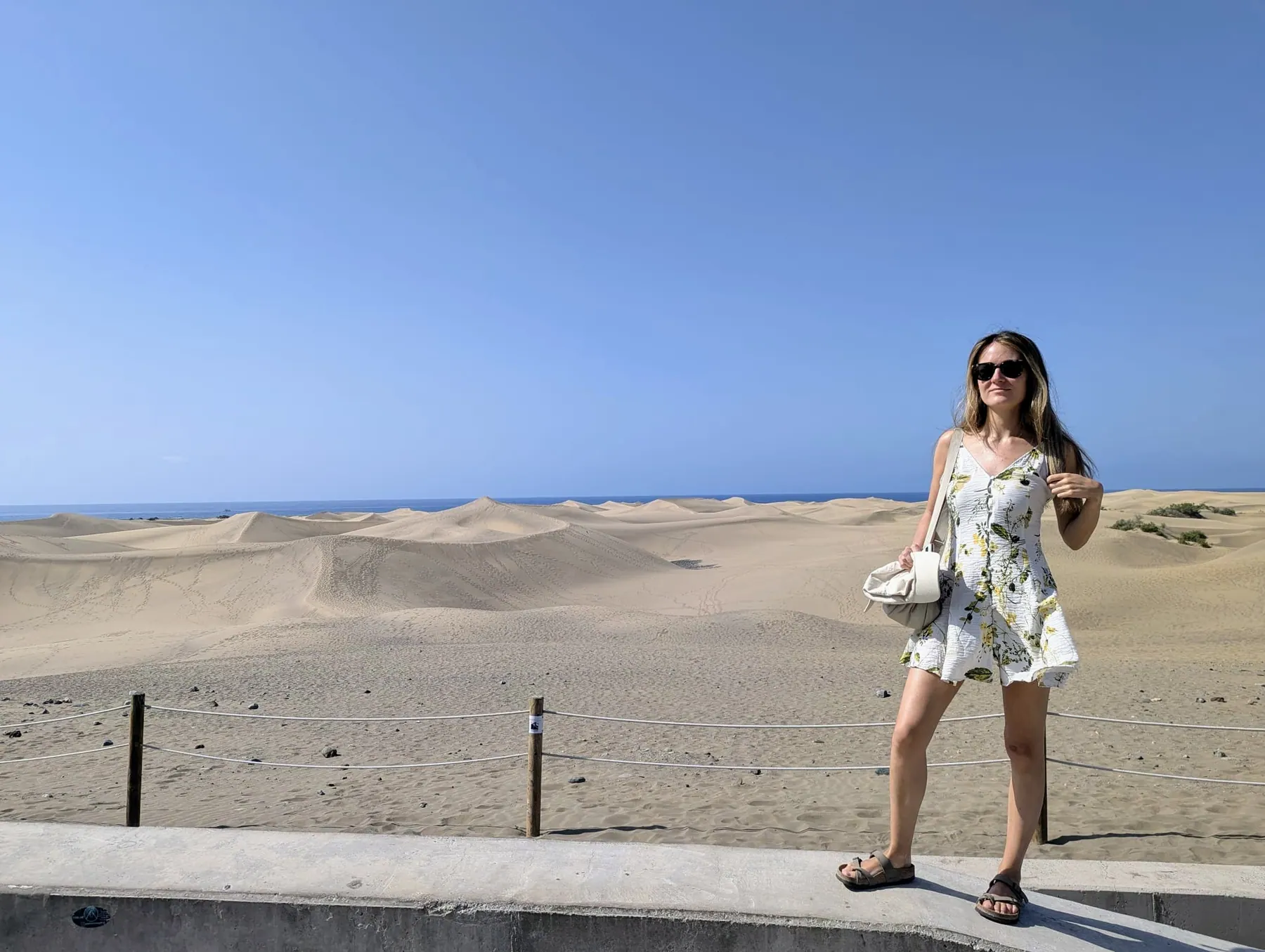
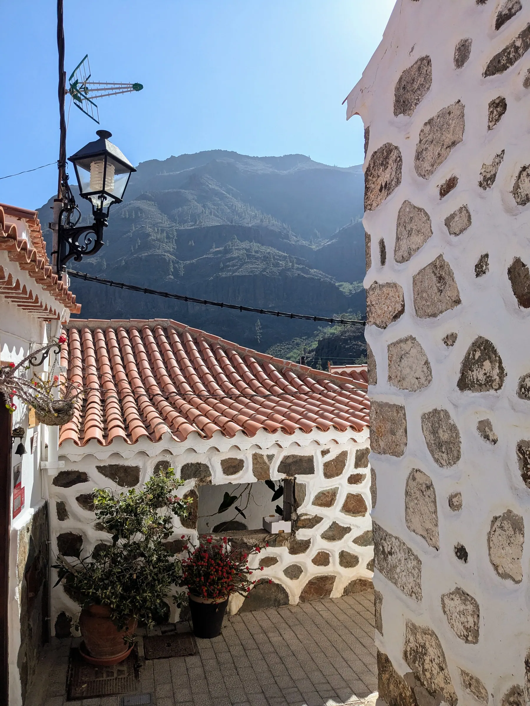
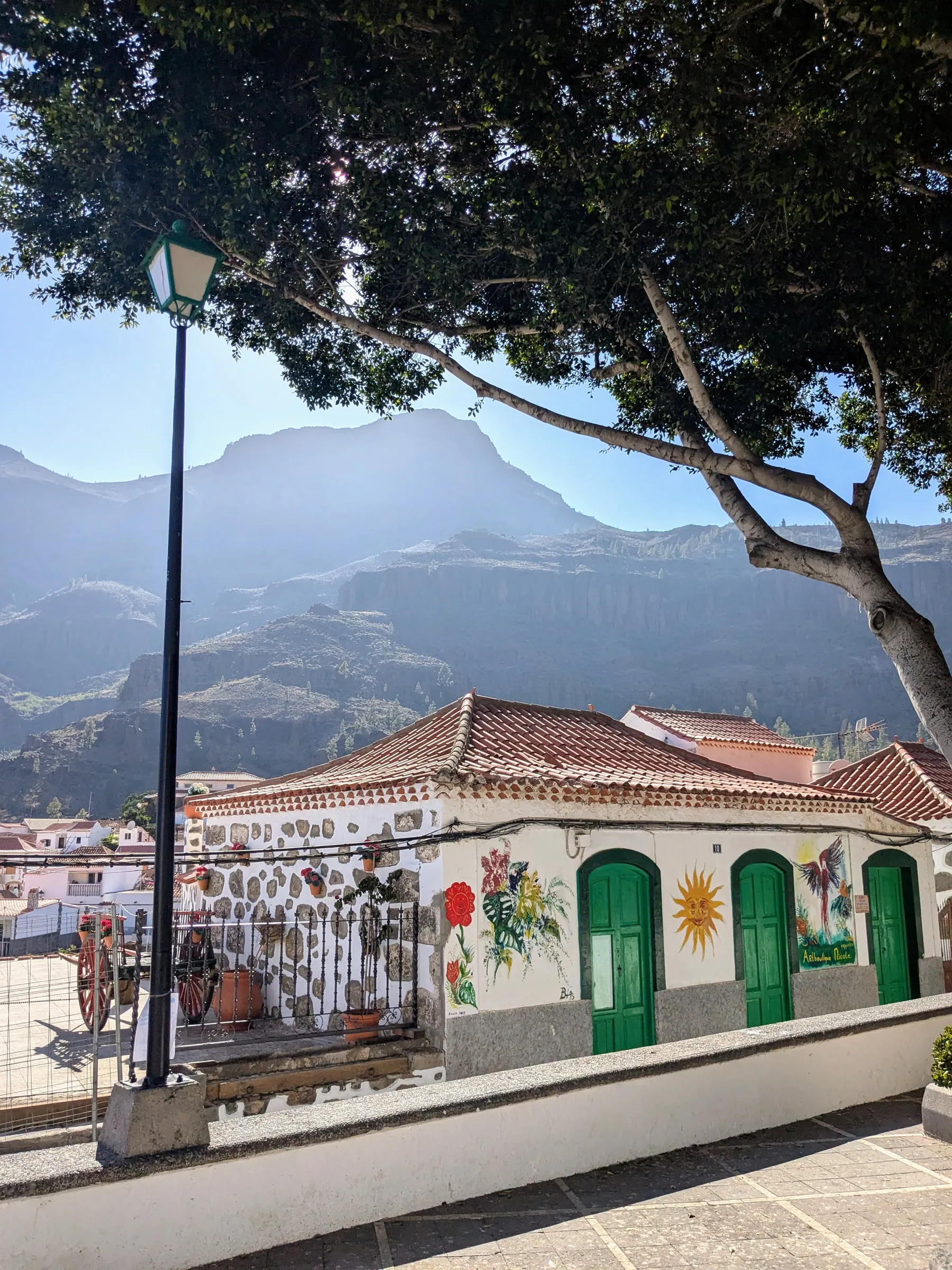
Fataga, inland from Maspalomas in the south, was a real surprise. A picturesque village of white houses and stone, with narrow streets we spent a while wandering, and mountains around it that make it look like a film set. It didn’t feel touristic at all - when we were there we were the only people walking around.
It sits in what’s known as the Valley of the Thousand Palms. There is the church of San José on the main square, an old water mill, a couple of small shops and galleries, and the viewpoint over the valley on the way out. Mostly you walk the cobbled streets and look at the houses, which is the point of it.
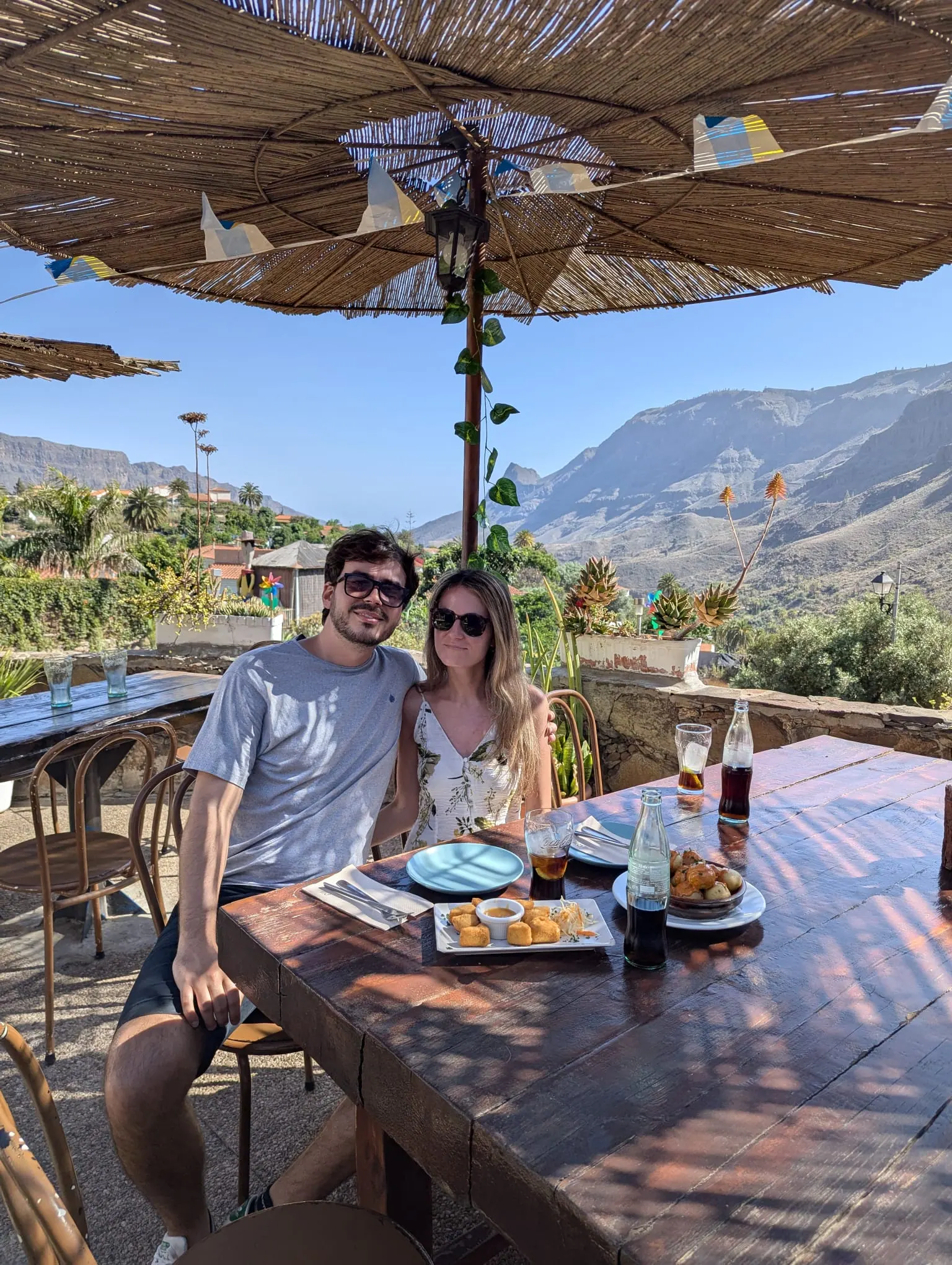
We ate on the road here, at Restaurante El Albaricoque, where we had the best papas arrugadas of the trip along with a few other tapas. Good food, and a very good view to eat it in front of.
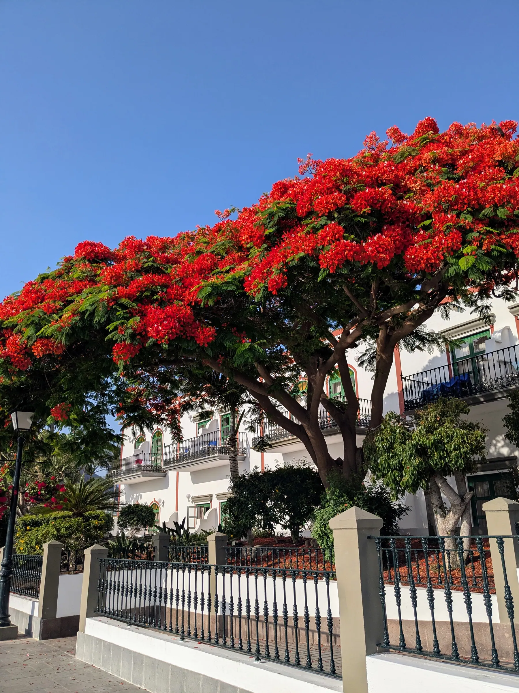
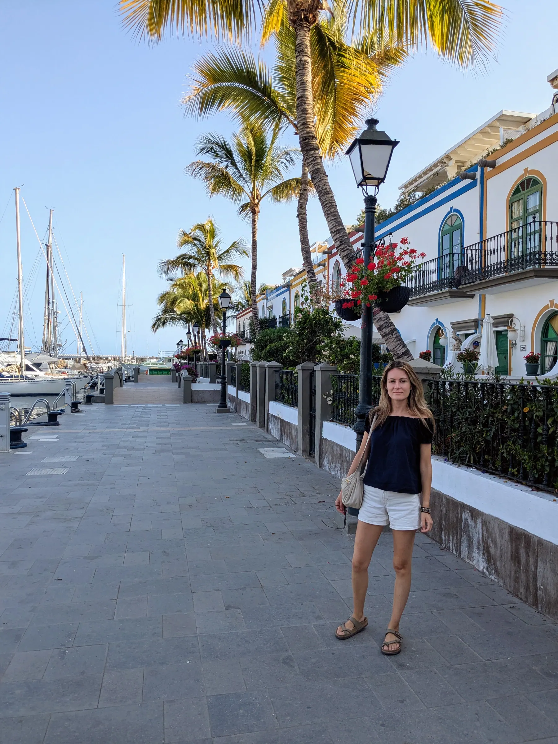
Puerto de Mogán, along the coast from Maspalomas, is a pretty port town with good views of the cliffs around it. The main bars and restaurants are all lined up along the central beach, which is fine, but the part worth walking is the Little Venice quarter behind it - small houses, canals and a great deal of flowers.
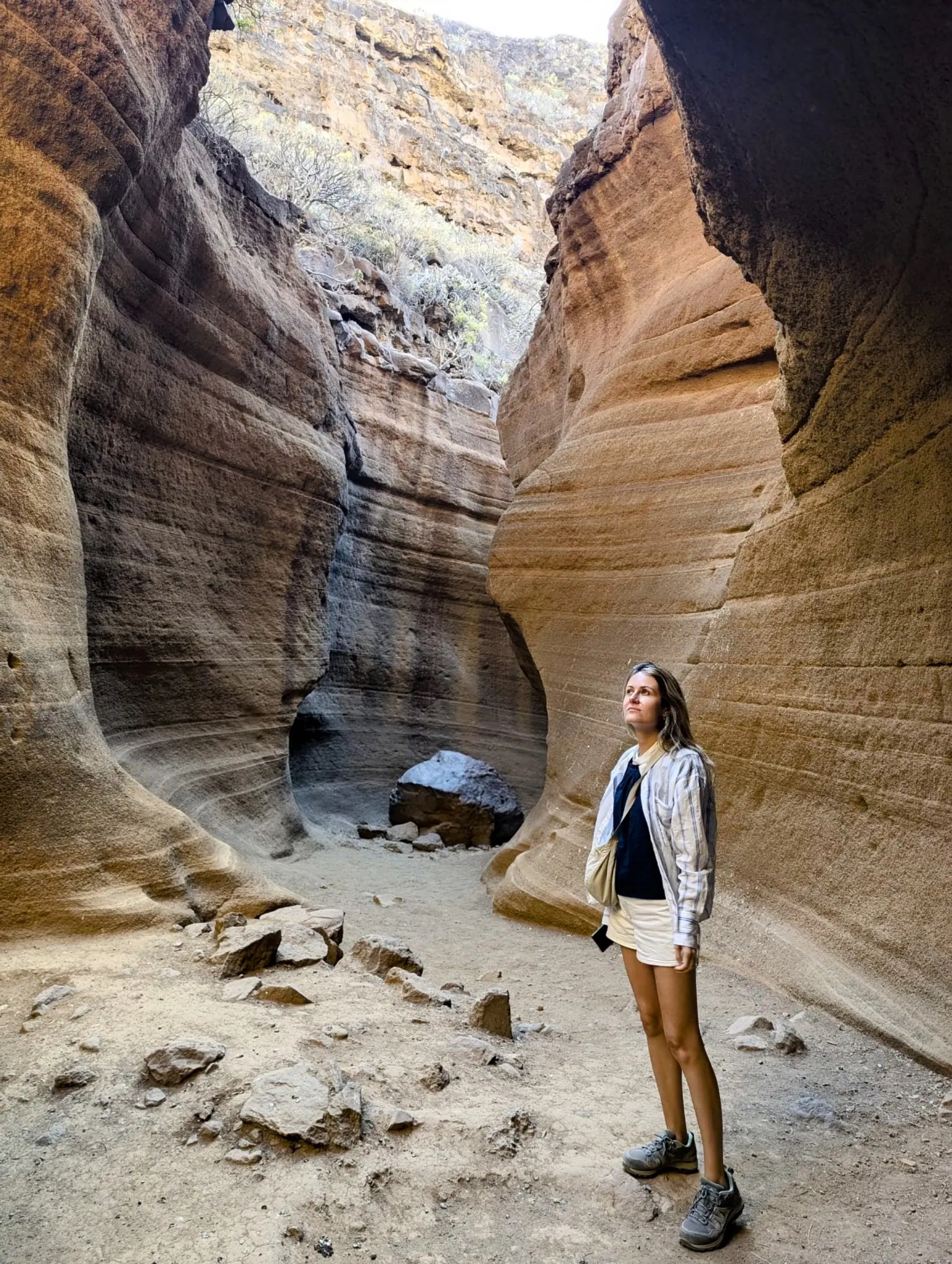
The Barranco de las Vacas, in the south-east near Agüimes, is a narrow canyon of layered, coloured volcanic tuff, and it does look like a small version of the Arizona canyons everyone has seen photographs of. Getting out of the car, what I remember first was the wind - as if the whole island’s wind collected there. It blew my sunglasses off my face as I stepped out, and they did not survive the trip.
You won’t see any of it from the road. You have to go down and walk for a bit before the canyon appears.
Two things to know before you go. The first is that it isn’t set up for visitors at all: no signs, no facilities, no real car park. You cross the metal safety barrier at the roadside and follow a path worn in by other people, which is exactly what we did. It’s also worth knowing that the canyon everyone photographs is technically the Barranco de Barafonso - the Vacas proper starts further down - though searching the popular name will still get you there.
The second is parking. We arrived early and found somewhere; within a short time the roadside was filling up, and it’s a narrow road with no pavement. Go very early. This is a place social media made famous in the last few years and the infrastructure never followed, so take the walk seriously and give yourself somewhere sensible to leave the car.
None of that is a reason to skip it. The canyon itself is beautiful and unlike anywhere else on the island, and I’d tell anyone to go - just go knowing there are no facilities and no official car park.
What to eat
The dish you’ll see everywhere is papas arrugadas - small potatoes boiled in heavily salted water until the skins wrinkle, served with mojo, the local sauce. We tried them and liked them, and honestly the sauce is the point. The best version we had was at El Albaricoque, on the road up to Fataga, along with a few other tapas.
On the coast, the seafood is the other reason to eat out, and it’s noticeably better in the smaller coastal places than in the resorts.
One honest observation about Maspalomas: it was hard to find somewhere properly local to eat. Breakfast in particular is mostly international cafés serving what the resort’s visitors are used to. It isn’t a criticism of the food so much as a description of what the place is.
Practical notes
Getting there. The airport is just south of Las Palmas, and Gran Canaria is a major holiday destination, so flights are frequent and often cheap - there are direct flights from Valencia, which is how the whole trip came about. If you’re staying in the south, buses run to Maspalomas directly from the airport, so you don’t need a car to reach your hotel. I took a bus on the first day and it was very fast and convenient. The island buses, called guaguas, go not only south but to other parts of Gran Canaria too; use Guaguas Global’s route and timetable finder to check the current routes and times. We were moving around by car, which was the most convenient option.
When we went. June 2025. Hot in the interior, and there’s very little shade at altitude.
Booking Roque Nublo. This is the one thing that catches people out, and it’s recent. You have to book a time slot in advance at grancanariasenderos.com. Access is capped at 60 people an hour, the site is open 10:00 to 17:00, and entry is checked by QR code. Parking anywhere near Roque Nublo is prohibited: you leave the car at Tejeda town centre or Cruz de los Llanos and take the shuttle, which runs every 30 minutes between 9:30 and 18:00. There’s also a Global line 18 service from the south of the island three times a day. Check the return times before you go up. The buses don’t run often, and we learned that the slow way.
Where we stayed. We moved around rather than basing ourselves in one place, which I’d recommend on an island this varied: two nights in Maspalomas, one at the Parador de Cruz de Tejeda, two in Las Palmas and the last in Puerto Rico, chosen purely because we had an early morning flight and wanted to be close to the airport. The night up at Cruz de Tejeda was the best decision of the trip - being in the mountains at sunset, rather than driving back down to the coast for it, changes the whole experience.
A week is right. The island is small, but the roads are mountain roads and everything takes longer than the map suggests.
Is it worth going beyond the beach?
Yes, and it’s the whole reason to choose this island.
The southern part is definitely for tourists. The north is far more local. Roque Nublo is rightly popular, but the quieter inland roads and villages offer far more space, along with an enormous variety of landscape for somewhere you can drive across in an afternoon.
That’s really the case for Gran Canaria. A dozen landscapes on an island fifty kilometres wide, a large Biosphere Reserve across its centre, a World Heritage cultural landscape in the middle of that, and the great majority of visitors experiencing a thin strip of coast from a sun lounger. The beaches are lovely. They’re just not all there is.
FAQs
Is Gran Canaria worth visiting beyond the beaches?
Yes. Gran Canaria has volcanic mountain landscapes, laurel forest, coastal towns, quiet highland villages and a UNESCO cultural landscape beyond the resort coast.
Do you need a car in Gran Canaria?
You can reach the southern resorts by airport bus, but a car is the practical way to explore the interior, the western highlands and most of the places in this guide.
Do you need to book Roque Nublo?
Yes. Entry is timed and limited, so book in advance and use the designated shuttle rather than trying to park near the trail.
How long should you spend in Gran Canaria?
A week is a good length for seeing the north, the interior and the south at a relaxed pace, because mountain roads make journeys take longer than they look on the map.
Read next
More posts for this trip mood
 Europe
 Valencian Community, Spain
10 Best Day Trips from Valencia: What's Actually Worth the Drive
From limestone river canyons and Roman aqueducts to medieval hill castles and sunset lagoons, here are the 10 best day trips from Valencia, Spain.
 Europe
 Balearic Islands, Spain
Things to Do in Ibiza Off-Season: Nature, Empty Calas & 4-Day Route
Ibiza off-season is a completely different island: empty calas, quiet hiking trails, and dramatic coastal views without the summer rush.
A 4-day off-season Ibiza guide focused on nature, empty calas, coastal hikes, Dalt Vila, Es Vedrà, and practical April road trip tips.
 Europe
 Castellón, Spain
Peñíscola and Sierra de Irta: Castle Town and Coast Walk
Peñíscola's castle makes the first impression, but the wild Sierra de Irta coastline is what makes the journey memorable.
A practical guide to Peñíscola and Sierra de Irta Natural Park, with the castle, old town, beaches, coastal walking routes, Torre Badum, coves and 2026 summer parking rules.