


Islas Cíes · Galicia · Spain
Visiting Islas Cíes in Galicia: Our October Day Trip to Spain's Raw Atlantic Island
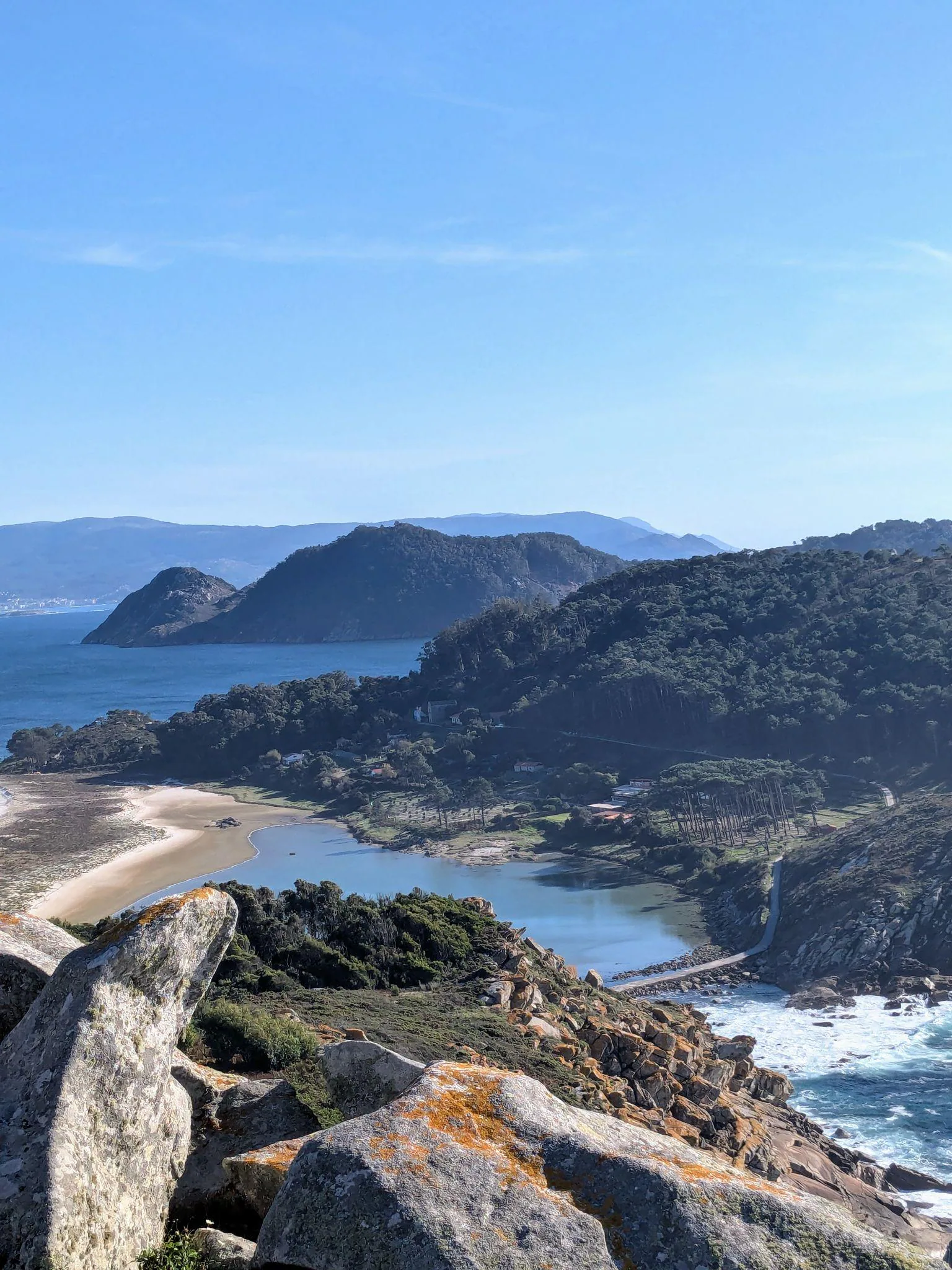
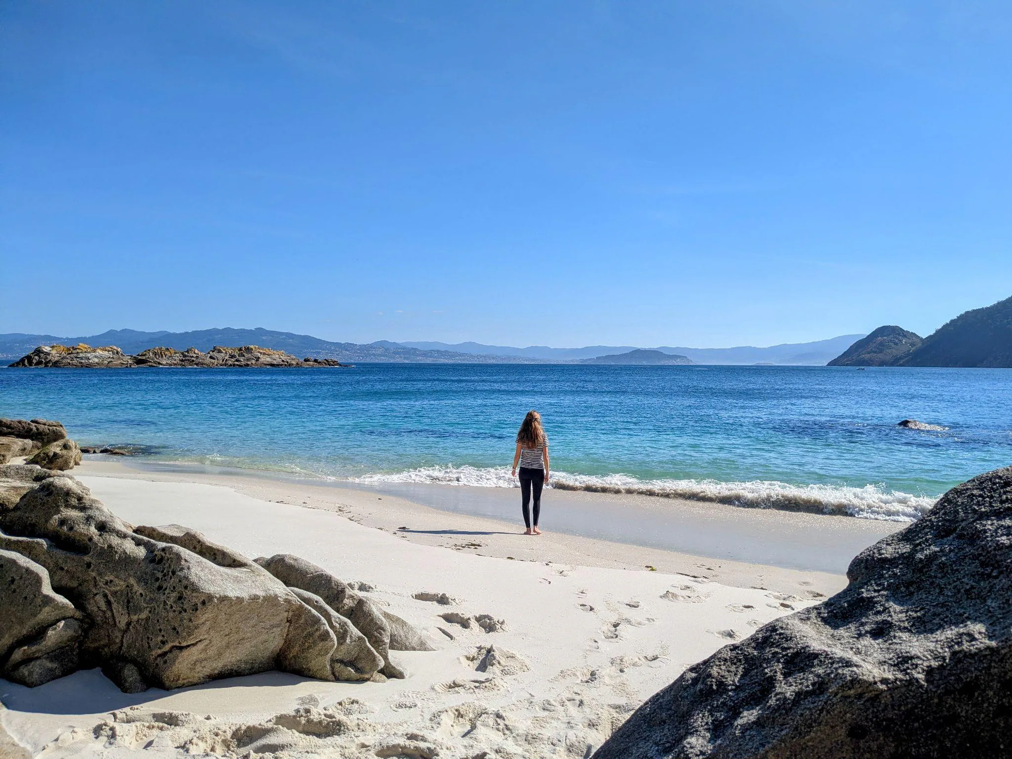
This October during my trip to Galicia, I also had the chance to visit Islas Cíes. These small islands off the coast of Galicia were the highlight of our trip - firstly because you don't normally hear much about this place, and secondly because we liked it so much that we are already planning to return.
Here I will write about our day on Islas Cíes and what this beautiful, exotic Spanish island is like.
At a glance
- The 3 islands
- Islas Cíes (the Cíes Islands) consist of Monteagudo (North Island) and do Faro (Middle Island), connected by the white-sand arc of Praia de Rodas and a stone walkway, plus San Martiño (South Island, only reachable by private boat).
- What it's like
- Uninhabited nature reserve with no cars, roads, hotels, or permanent towns (only an official summer campsite and a couple of seasonal visitor cafés/restaurants).
- Ferry ports & cost
- Vigo (~40 min direct) and Cangas (~1 hr - 1 hr 20 min via Vigo) in high season and on scheduled guided off-season departures; Baiona, Sanxenxo & Portonovo also serve the islands in summer. My round trip cost 24 EUR (prices vary).
- Visitor permit
- Strict daily visitor cap: free Xunta de Galicia permit required before buying ferry tickets in high season (May 15 - Sep 15 & Easter); in the off-season, the ferry company handles the authorization for you.
Getting to Islas Cíes: Ferries & Permits
This is the part that requires a bit of organization. It’s important to know that the islands are a protected nature reserve - they haven’t been built up with hotels, and the number of people who can visit each day is strictly limited. In the summer months and surrounding high season, you need to plan your visit well in advance by getting a visitor permit and reserving the ferry.
Ferries to Islas Cíes depart from several ports along the Galician coast (all in Pontevedra province):
- Vigo and Cangas: the two main ports with the most frequent departures, operating both in high season and on off-season guided days.
- Baiona, Sanxenxo, and Portonovo (plus occasional seasonal boats from Bueu): additional departure ports that operate during the summer high season (mainly July and August).
In October, we went with the ferry company Naviera Mar de Ons (other companies operating the route include Piratas de Nabia and RG Naviera) departing from Cangas, where we also stayed overnight (by the way, the beaches around Cangas are well worth visiting too). The crossing takes around 1 hour - in our case around 1 hour and 20 minutes, because after leaving Cangas the boat stopped in Vigo to pick up more passengers (direct ferries from Vigo take around 40 minutes).
The ferry ride itself was very pleasant, with nice music on board (you can sit in the indoor cabin or, if the weather is warm, out on deck, which we did).
How to get your permit and book ferry tickets:
- In high season (May 15 to September 15 and Easter): daily access is capped at around 1,800 day visitors, so book well in advance:
- Get the free Xunta permit first: go to the official portal (autorizacionillasatlanticas.xunta.gal), select your visit date, and enter each passenger’s name and ID/passport number to get a pre-reservation code.
- Buy your ferry ticket within 2 hours: enter that pre-reservation code on your chosen ferry company’s website (Naviera Mar de Ons, Piratas de Nabia, or RG Naviera) within 2 hours to complete the ticket purchase (otherwise the code expires).
- Save your QR authorization: once your ferry ticket is paid, the final permit with a QR code is emailed to you - you will need to show both at the port.
- In the off-season (October to mid-May): in our case, the ferry company made the authorization for us directly when we booked our ticket, as off-season visits are organized with an accredited guide included in the booking.
Arrival
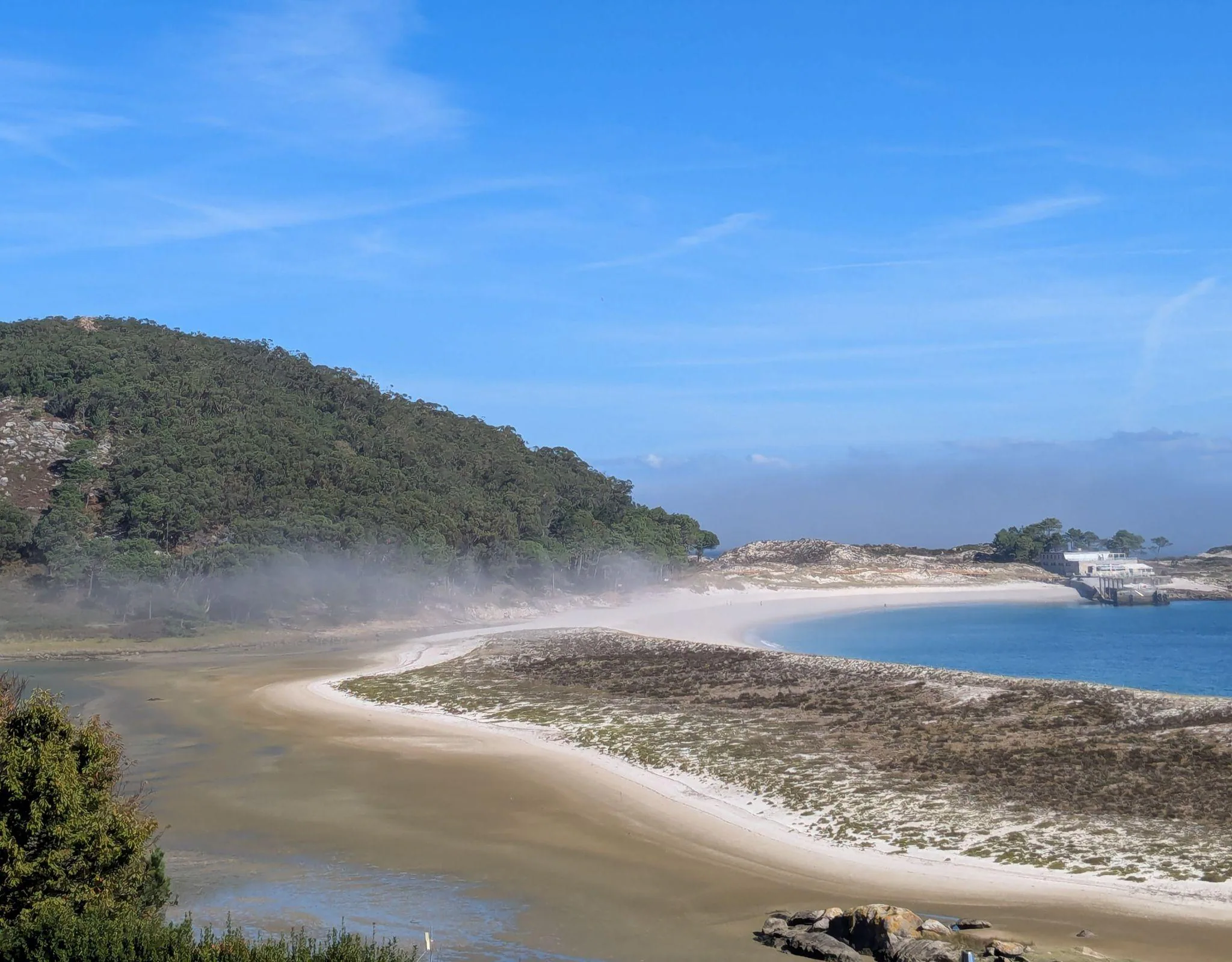
We arrived at around 11:30 AM, and our first reaction was “what is going on?” because the island was suddenly covered in thick fog. I almost started to worry that we had arrived and wouldn’t see anything! Off-season ferry tickets only run as guided visits, so our ticket included a guide and we were divided into groups upon arrival (English-speaking guides were also available). We were very lucky because our guide was incredibly knowledgeable and shared lots of details about the island - its wildlife and weather conditions. Praia de Rodas is, of course, the first beach you see right from the arrival pier. The fog actually made it look even more impressive and mysterious. To be honest, I felt as if I had landed on an exotic island outside Europe, and that feeling never left me the entire day.
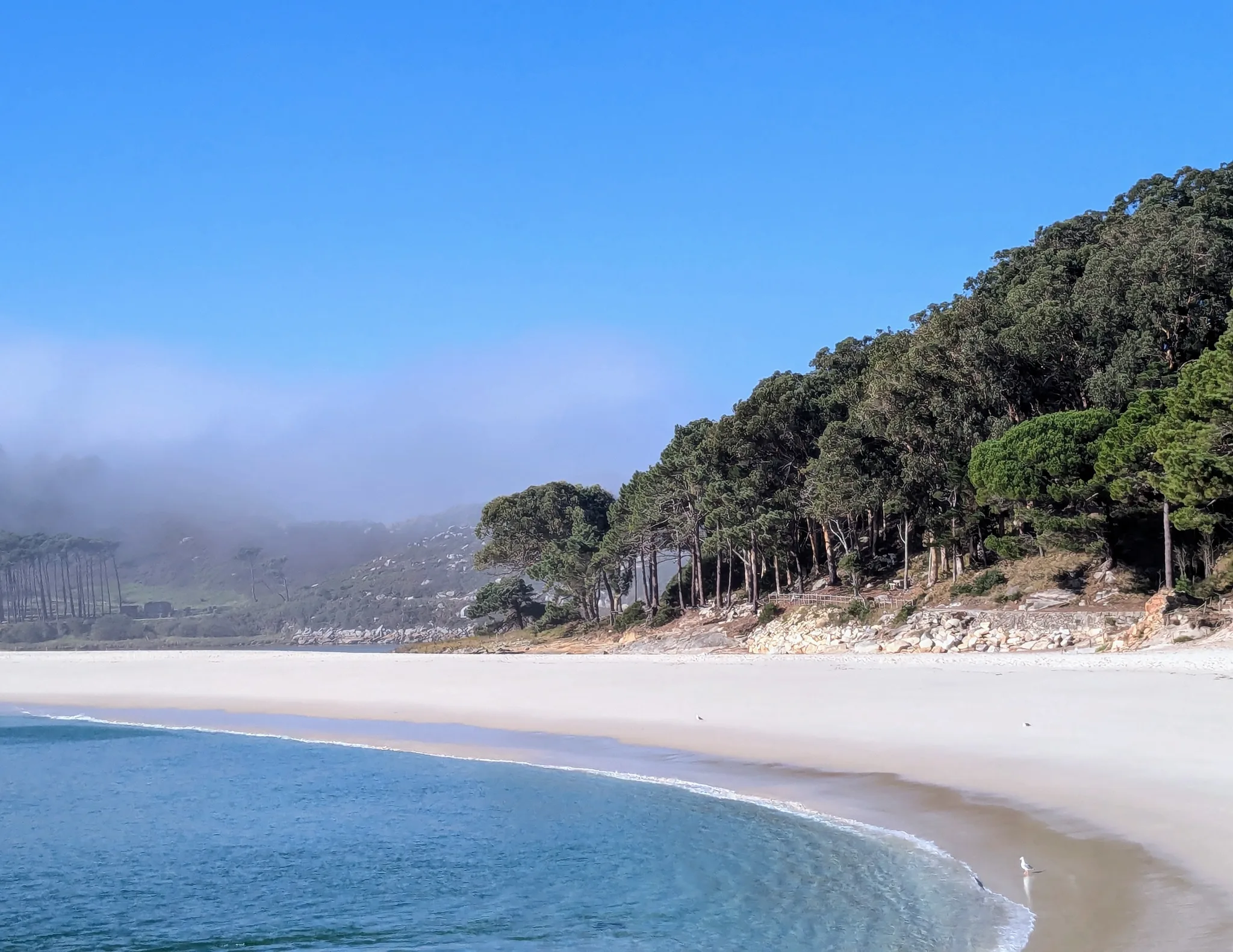
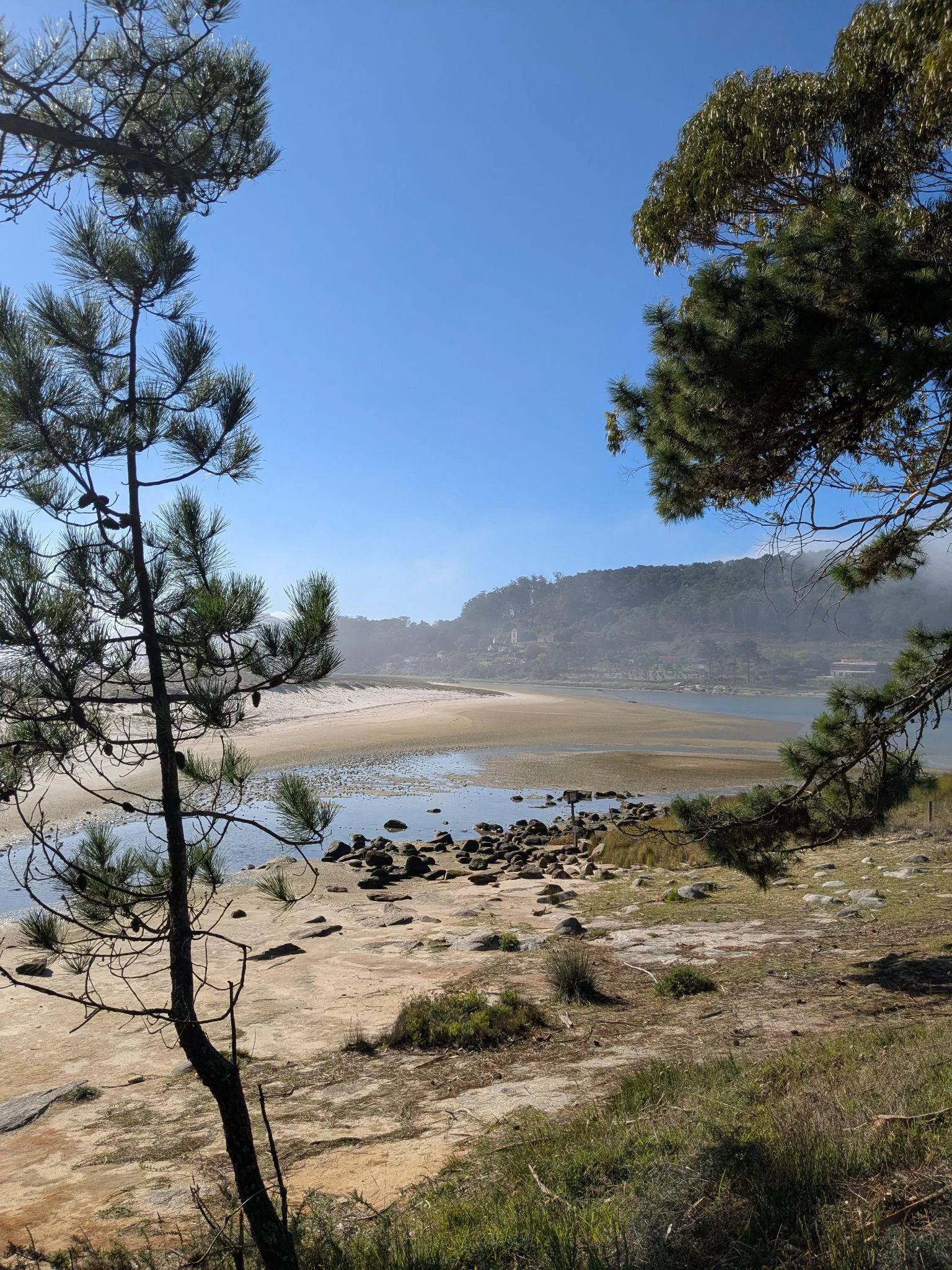
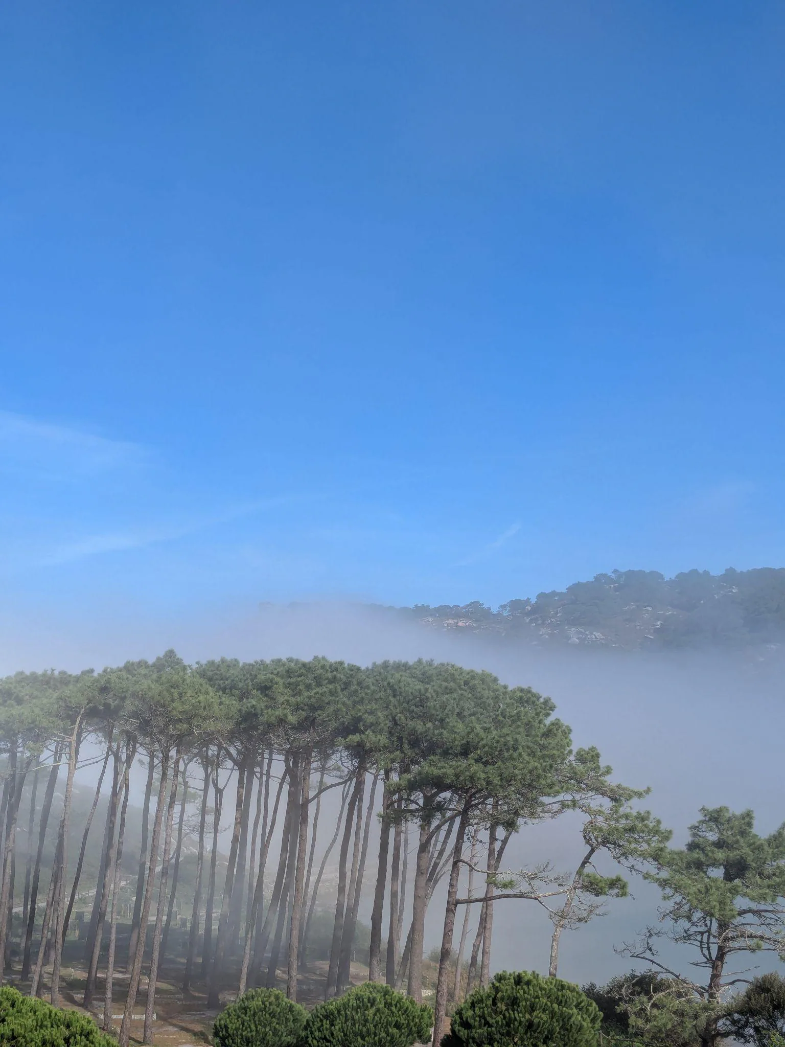
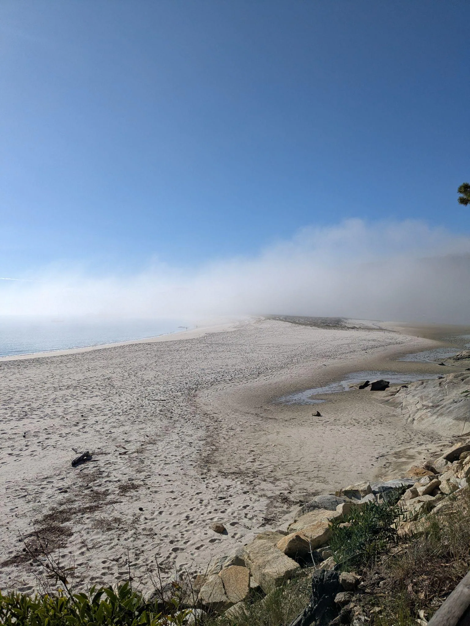
We walked together as a group following the guide past several interesting spots: a path shaded by eucalyptus trees, and a stone causeway (Ponte Camiño do Faro de Cíes) where the water looked like a live aquarium - and indeed, the marine biodiversity around the island is huge.
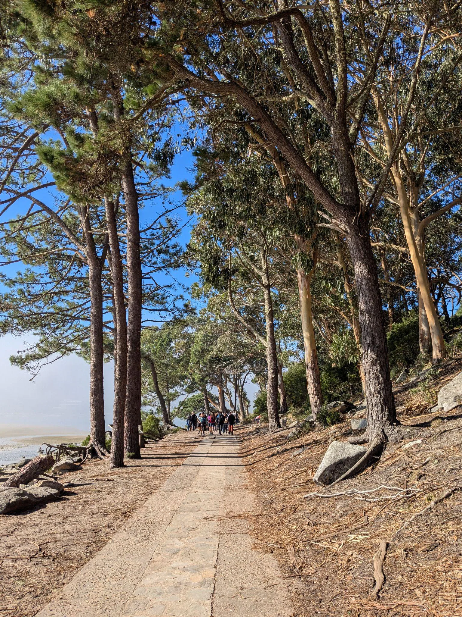
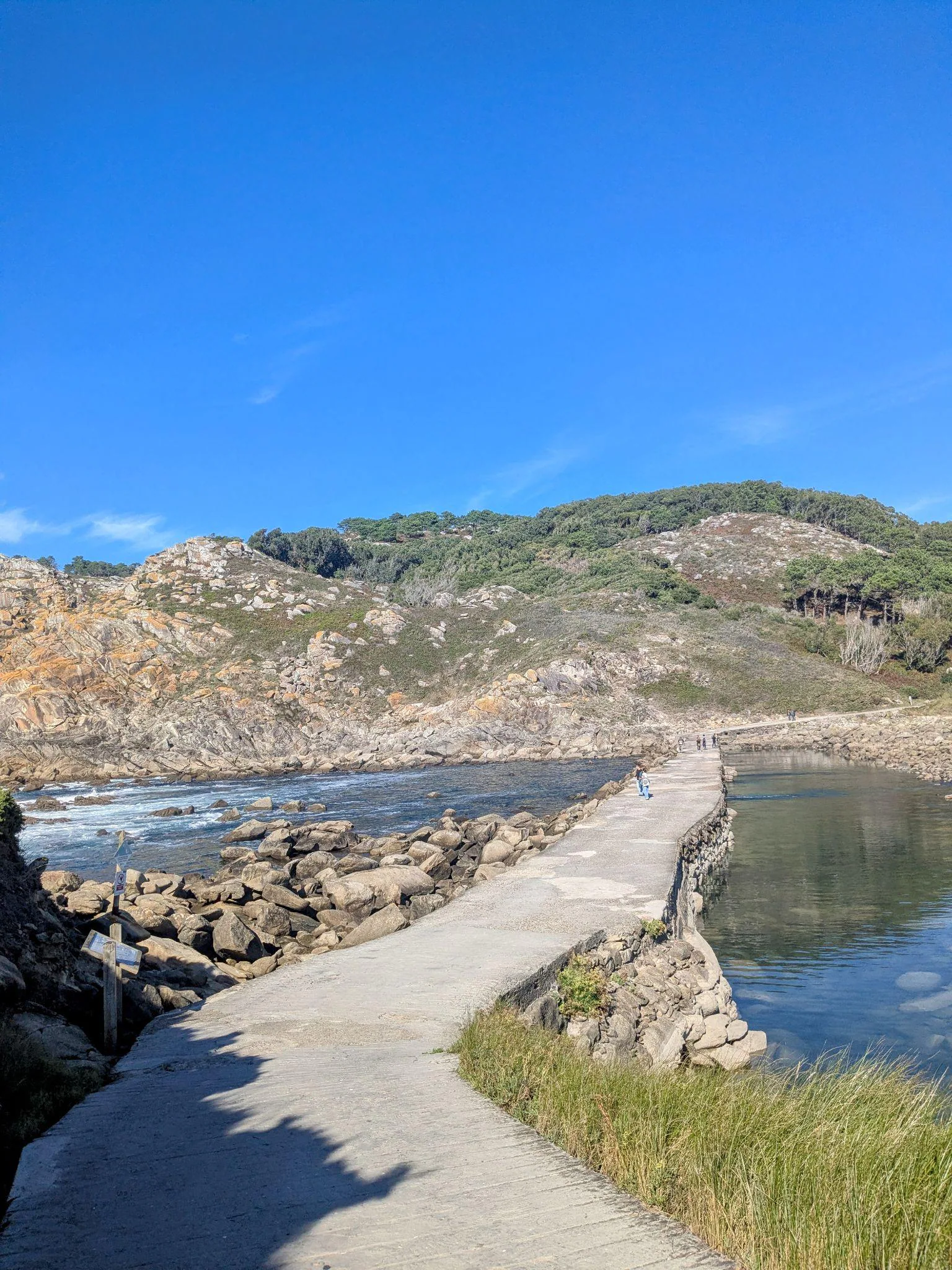
Walking to Faro de Cíes
Faro de Cíes was the final point of our guided walk, taking roughly 1 hour from the port (though we made quite a lot of stops along the way). For planning, the park estimates 1 hour 30 minutes each way, so leave enough time to get back before the last ferry. Both the views on the way up and from the top are impressive, so if you are on the island, definitely go there. From the lighthouse, you can also see the other small island right next to it (San Martiño, the South Island). There is another lighthouse lower down on the coast, but we didn’t have time for that one.
The walk to Faro de Cíes (marked as the Yellow Route on the island’s wooden signposts) is around 7 km round trip (~3.5 km each way) with about 175 meters of elevation gain up the zigzagging path, whereas the lower lighthouse trail (Faro da Porta, the Green Route) is a flatter 5.2 km round-trip walk along the southern coast. Overall, when walking around the island we didn’t experience anything extremely steep - there were uphill stretches leading up to the viewpoints, but nothing exceptional.
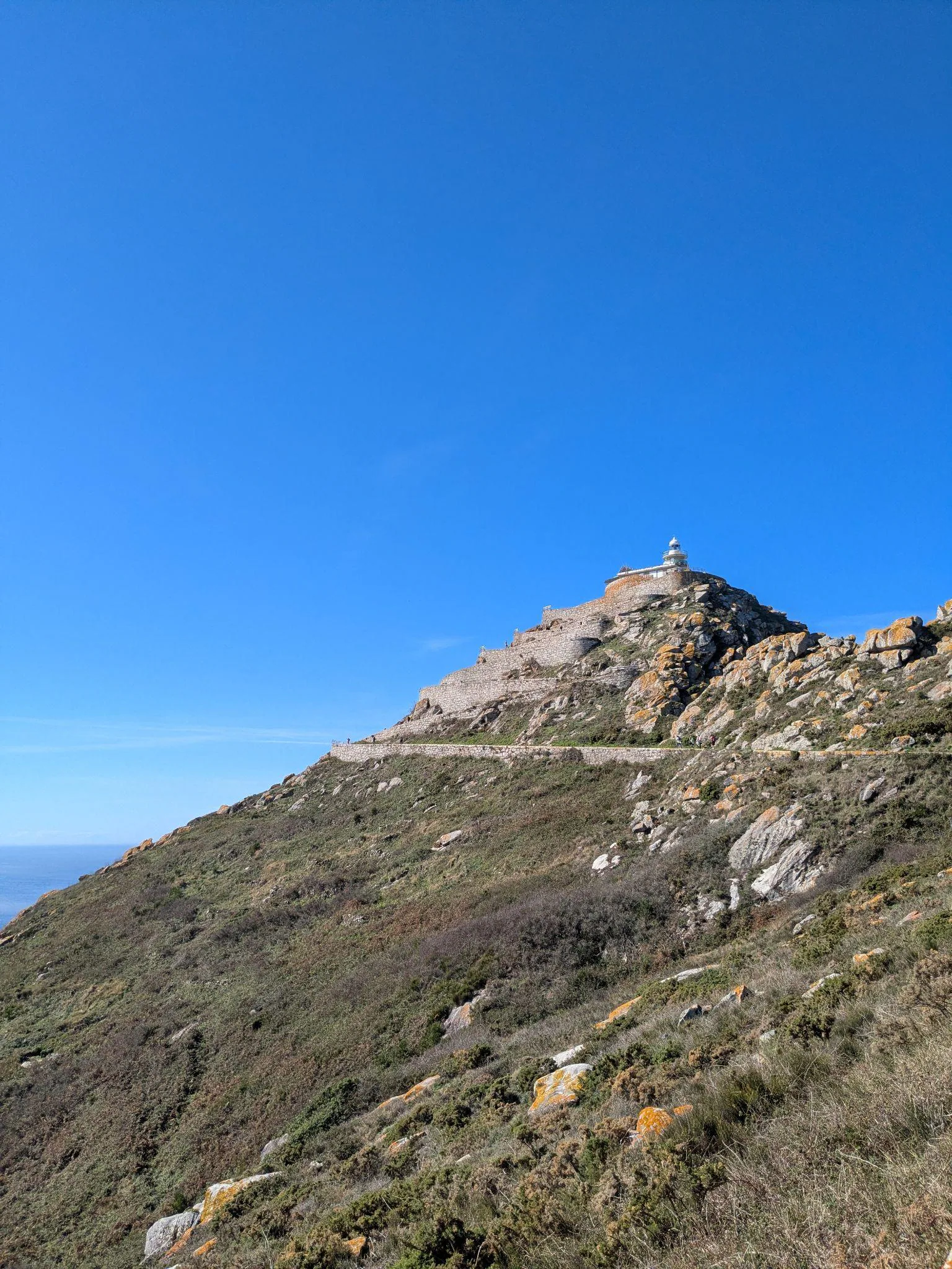
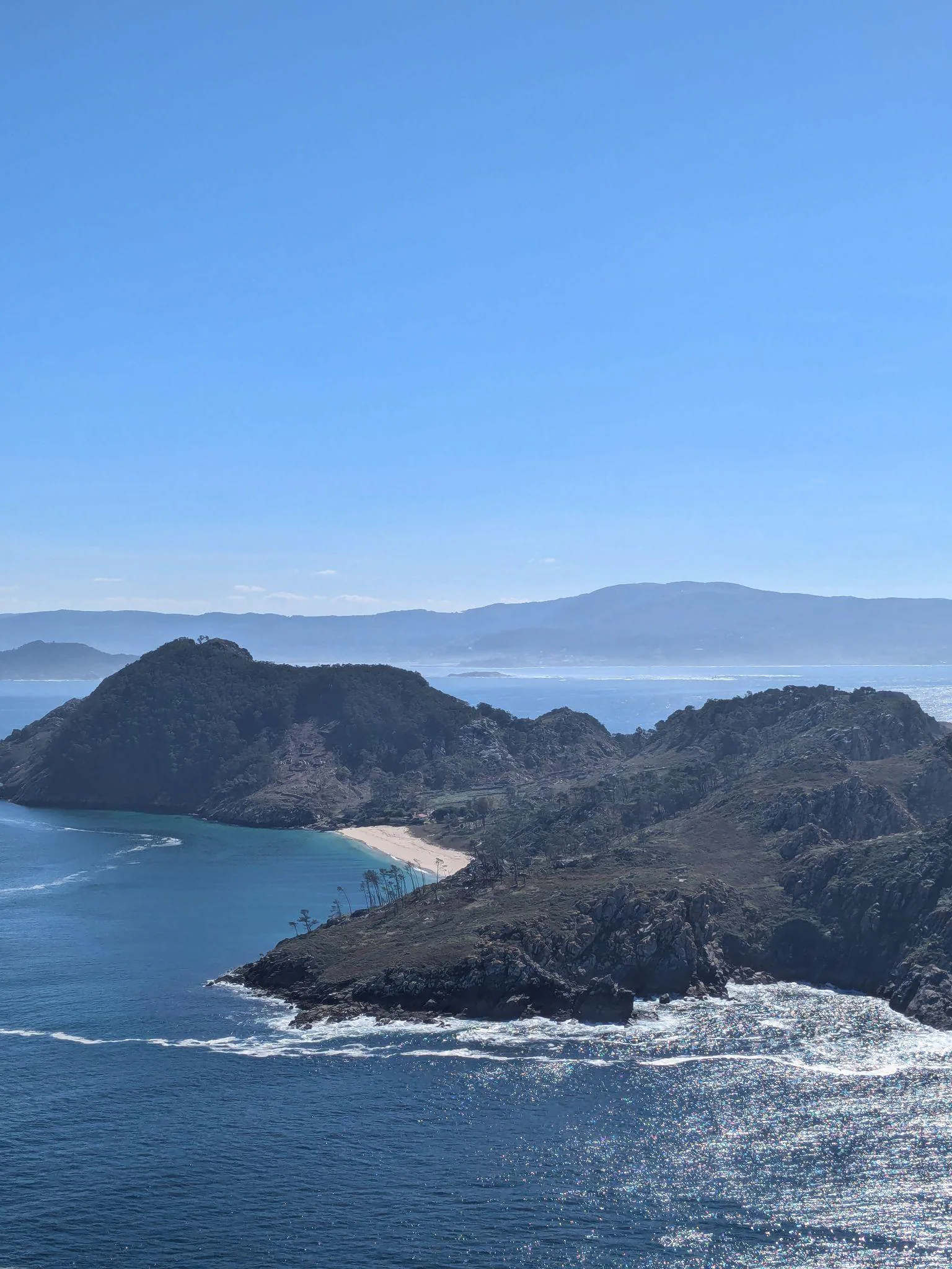
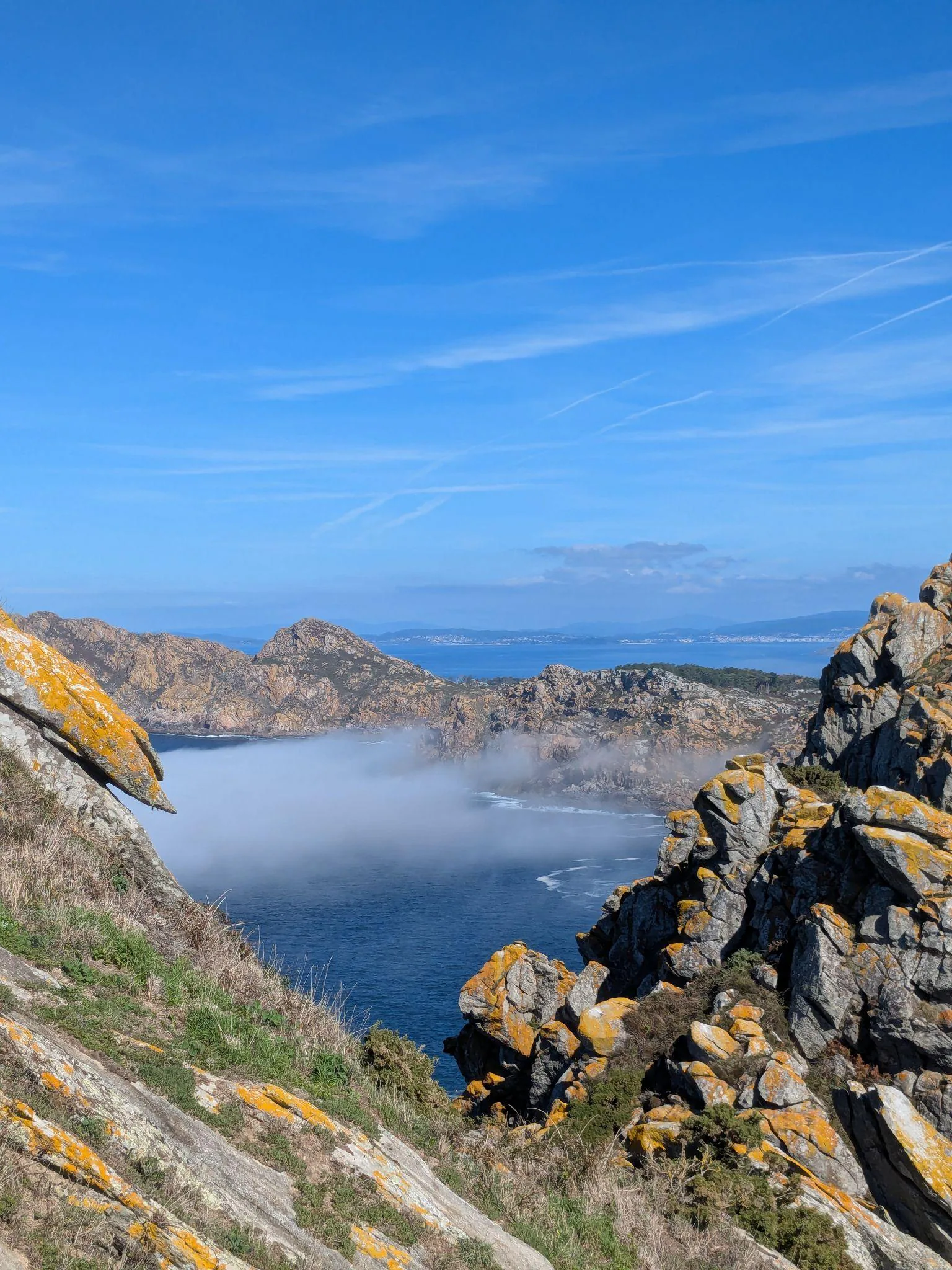
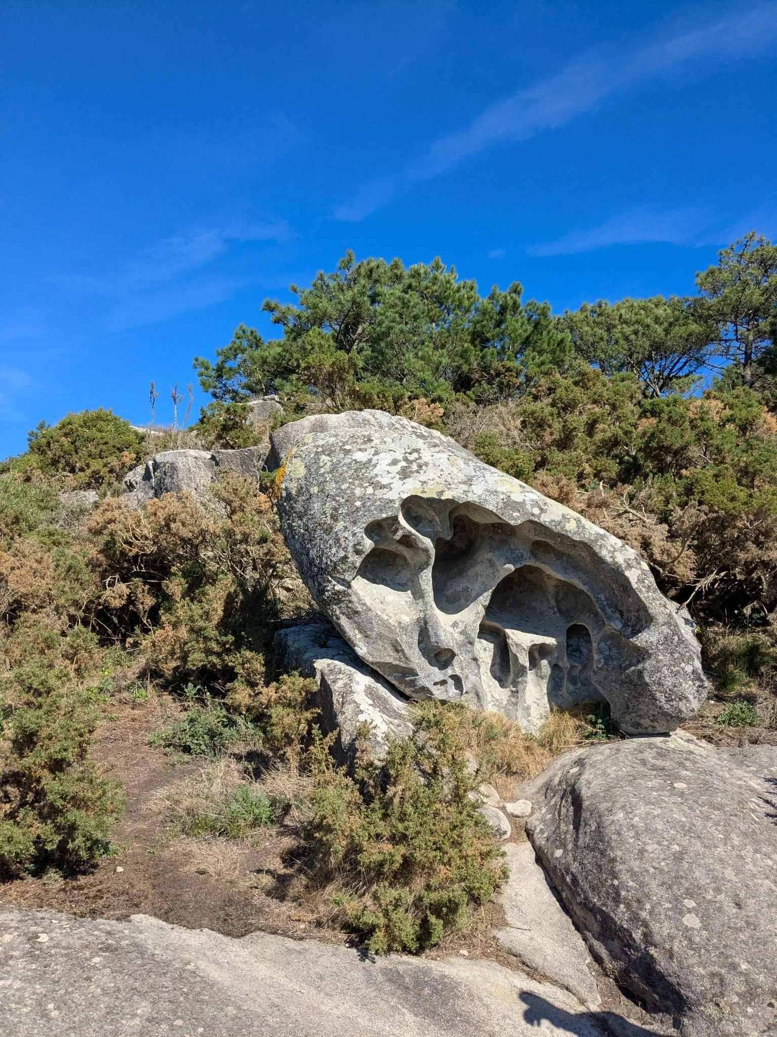
It was also interesting to notice curious hollowed-out rock formations along the trail, sculpted by the wind and sea salt (including the island’s famous Pedra da Campá, or “Bell Stone”, a granite rock pierced with a natural window along the lighthouse route).
Praia dos Viños and Praia de Nosa Señora
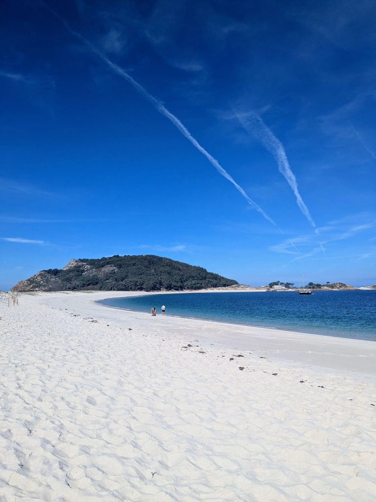
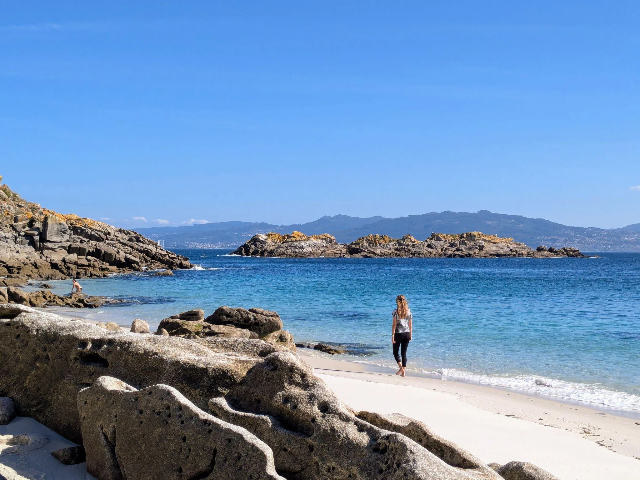
After the walk, we had free time to decide what to do next. In our case, we wanted to relax by the beach; we had already spotted some nice white-sand beaches on our way, so we went to Praia dos Viños (also called Praia de Bolos) and Praia de Nosa Señora. Praia dos Viños is a separate beach at the end of Praia de Rodas, with a long stretch of sand, while Nosa Señora has a smaller access and granite rocks around it. Both were beautiful. What shocked me was the incredibly white colour of the sand (which we learned comes from quartz) and the crystal-clear water. The contrast really looked like a Caribbean postcard (only without palm trees on Islas Cíes)! The water was cold, but I come from the Baltics so that was nothing surprising, and my boyfriend even swam! Bring sunscreen even on misty days: white sand reflects some UV, and UV can still reach you through fog or cloud.
Even in the middle of summer, the Atlantic water at Islas Cíes only reaches around 15°C to 18°C (and around 14°C to 16°C in October) because cold, nutrient-rich deep ocean water rises to the surface here - which is also why the lagoon and bay are so full of fish and marine life.
Alto do Príncipe Viewpoint
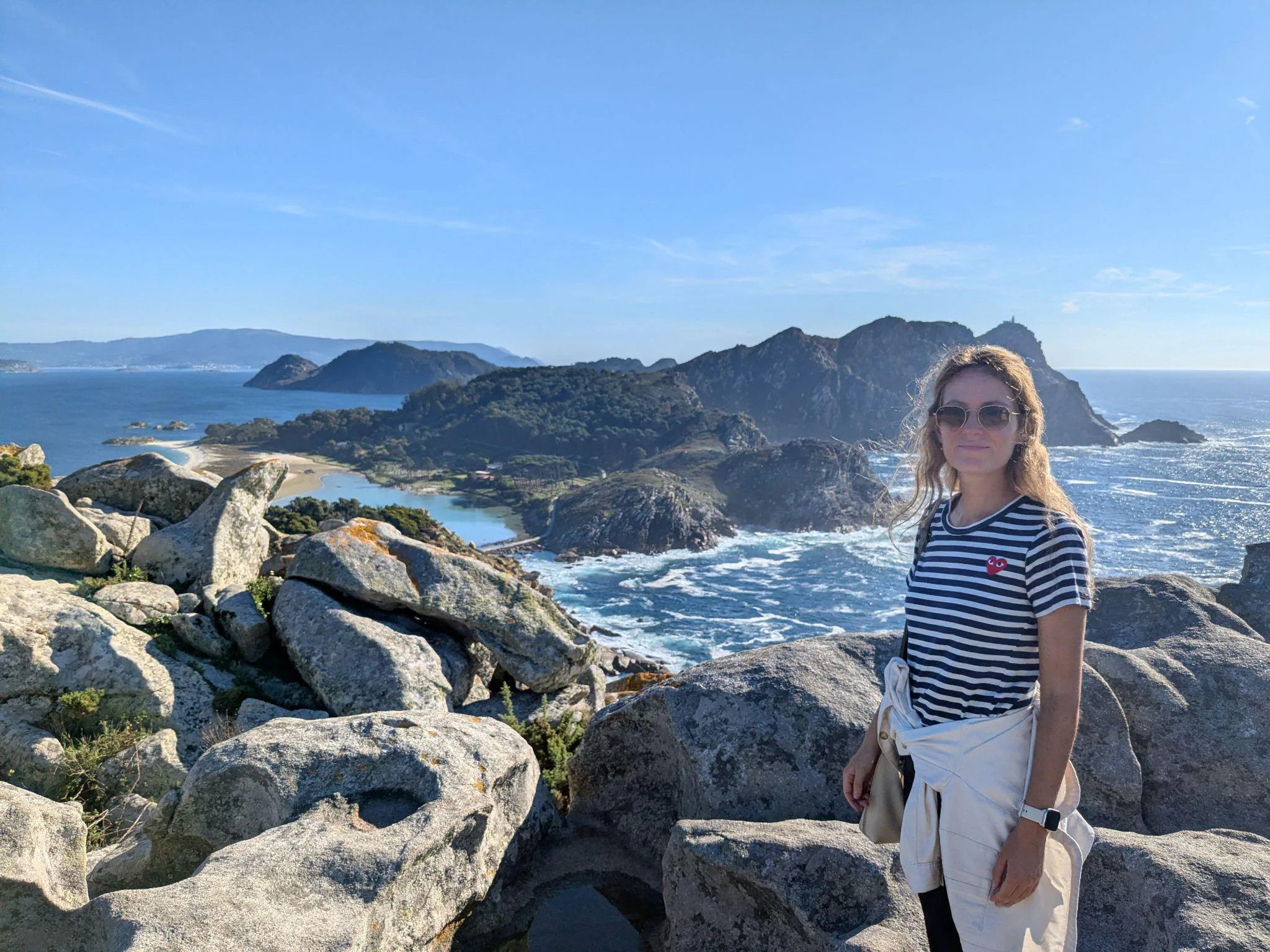
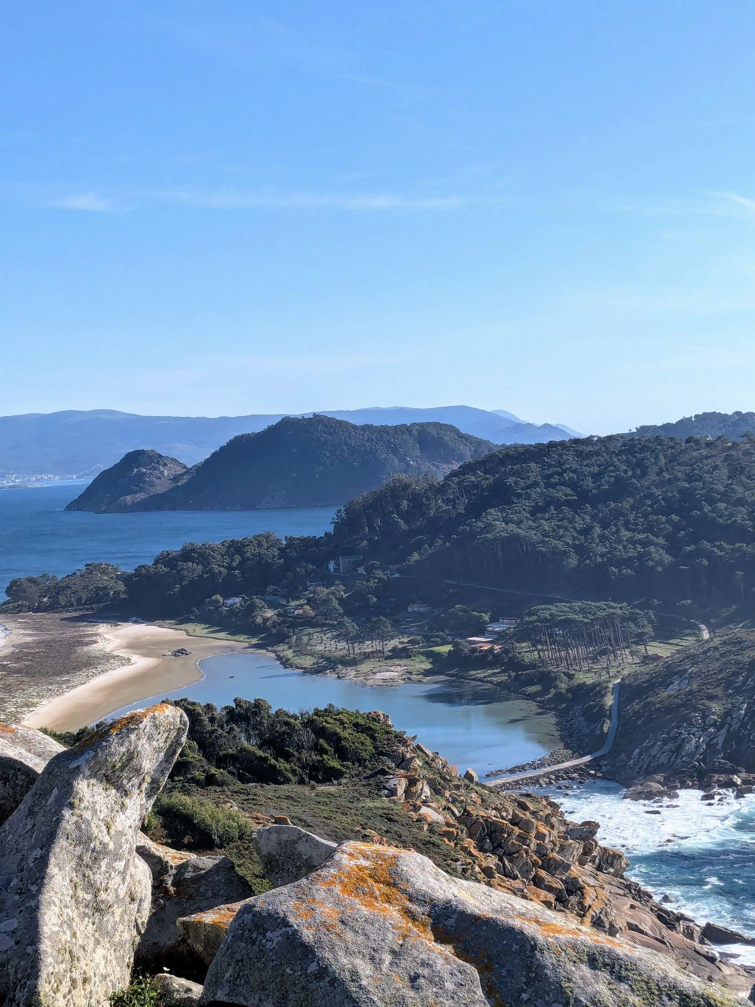
Towards the end of our day, we went to the Alto do Príncipe viewpoint (the Blue Route). The view from here is very different from what you see from Faro; each is stunning in its own way, so if you can, go to both. Right at the cliff edge, you can also spot the famous granite rock formation called A Silla da Raíña (“The Queen’s Chair”), shaped like a natural stone seat looking out over the Atlantic and the lagoon. Also, while the walk to Faro is mostly in an open area, the path to Alto do Príncipe crosses mostly eucalyptus forest.
And on our way to Alto do Príncipe we spotted some other cute beaches too, such as Praia das Figueiras.
The trail from the embarkment area to Alto do Príncipe is about 3.4 km round trip (~1.7 km each way). The park estimates 45 minutes each way, so plan around 1 hour 30 minutes for the return walk, plus time at the viewpoint. We did the round trip in about 45 minutes total, but we walked quickly because we didn’t want to miss the last ferry. Beyond Faro de Cíes and Alto do Príncipe, there are 4 color-coded walking and hiking routes marked on the island’s wooden signposts: the Yellow Route (Faro de Cíes), the Blue Route (Alto do Príncipe), the Green Route (the coastal Faro da Porta trail in the south), and the Red Route (the Faro do Peito route in the north). Since we were short on time, we saw the main points, but the island is definitely worth exploring for its other hiking trails too.
Practical Details & Final Thoughts
The ferry back was at 18:00 and that was the last one of the day, so we realized we were a bit short on time. It is really important not to miss the last ferry because there is nowhere to stay on the island except the official campsite when it is open, and that needs to be pre-booked. I definitely want to explore that option next time.
Our day in Islas Cíes was beautiful and we were left wanting more, so I recommend it to anyone visiting Galicia. The beaches are personally among the best I have ever seen, so in summertime a quick day trip might be too short if your plans also include enjoying the beach, swimming, and relaxing - an overnight stay might be more suitable. But a day trip also works well because the island is small and you can see the main sights in a day. The island is truly one of a kind because of being without any buildings and touristy stuff, and I really hope it will stay that way!
Practical details:
- The 3 islands: Monteagudo (North Island) and do Faro (Middle Island), which are connected by Praia de Rodas and the lagoon walkway, plus San Martiño (South Island, reachable only by private boat).
- Departure ports in Galicia: Vigo and Cangas (main ports in high season and for scheduled guided off-season departures), plus Baiona, Sanxenxo, Portonovo, and Bueu in summer.
- Visiting off-season: book an organised guided departure with an authorised operator; dates and sailings depend on the operator, weather and sea conditions, so check availability for your travel date.
- Ferry costs & crossing time: for me it cost 24 EUR both ways (with Naviera Mar de Ons; prices may vary by season and company); around 40 minutes direct from Vigo, or around 1 hour to 1 hour and 20 minutes from Cangas when the boat stops in Vigo to pick up passengers. Make sure not to miss the last ferry back, as there is nowhere to stay overnight on the island (except the summer campsite, which must be pre-booked).
- Walking & hiking routes: there are 4 color-coded hiking trails marked on the island’s wooden signposts: the Yellow Route (Faro de Cíes), Blue Route (Alto do Príncipe), Green Route (Faro da Porta), and Red Route (Faro do Peito). Since we were short on time we focused on the main points, but the island is well worth exploring for its trails too; we didn’t experience anything extremely steep - just uphill stretches to the viewpoints, nothing exceptional.
- Food & bars: there were around 2 bars working when we visited, but it is best to bring your own food and plenty of water, as there are no shops or supermarkets on the island.
- Temperatures: daytime air temperatures are very pleasant for walking: around 17°C to 21°C on sunny October days and 22°C to 26°C in summer - for October we actually had a hot day, at around 25°C - though it is smart to pack a windproof layer for the morning ferry and coastal breeze. Meanwhile, the Atlantic water stays cold year-round at around 14°C to 18°C.
- Permits & how to book: capped at around 1,800 day visitors. In high season (May 15 to September 15 and Easter), get the free permit first on the Xunta de Galicia website and use the 2-hour pre-reservation code to buy your ferry ticket; in the off-season (like our trip in October), the ferry company handles the authorization for you and includes a guide.
- What to bring & park rules: plenty of sunscreen, a windproof layer, water, and your own food, plus a bag for all your rubbish, as there are no public bins on the island (drones, dogs except guide dogs, and taking shells or sand from the beaches are also prohibited).
FAQs
How do you get the Islas Cíes (Cíes Islands) permit and book ferry tickets?
In high season (May 15 to September 15 and Easter), you must first get a free visitor permit on the official Xunta de Galicia website (autorizacionillasatlanticas.xunta.gal), which gives you a pre-reservation code valid for 2 hours to buy your ferry ticket with an operator like Naviera Mar de Ons, Piratas de Nabia, or RG Naviera. Once you pay for the ferry, you receive your final QR permit by email. In the off-season (such as our trip in October), the ferry company handles the authorization for you when you book your ticket, as visits run with an accredited guide.
How long does the ferry to Islas Cíes take from Cangas and Vigo?
A direct ferry from Vigo to Islas Cíes takes around 40 minutes. When departing from Cangas, the boat often stops in Vigo first to pick up passengers (especially outside peak summer), making the total journey around 1 hour to 1 hour and 20 minutes. In summer, ferries also depart from Baiona, Sanxenxo, and Portonovo. For me, the round-trip ferry ticket cost 24 EUR (prices may vary by season and company).
How long is the walk to Faro de Cíes?
We reached Faro de Cíes in roughly 1 hour on our guided walk, but the park estimates 1 hour 30 minutes each way from the arrival area. Allow at least that when planning around the last ferry, plus time for stops.
What hiking routes are there on Islas Cíes, and are they steep?
There are 4 official color-coded walking routes on Islas Cíes, marked on the island's wooden signposts: the Yellow Route to Faro de Cíes (7 km round trip), the Blue Route to Alto do Príncipe (about 3.4 km round trip), the Green Route to Faro da Porta (5.2 km round trip), and the Red Route to Faro do Peito (5 km round trip). The park estimates 1 hour 30 minutes one way to Faro de Cíes and 45 minutes one way to Alto do Príncipe. Since we were short on time, we saw those two main points; both offer very different views and have uphill stretches to the viewpoints.
Why is the sand on Islas Cíes so white, and can you swim there?
The beaches on Islas Cíes, such as Praia de Rodas, Praia dos Viños, and Praia de Nosa Señora, get their dazzling Caribbean-like white color from fine quartz grains. You can swim in the crystal-clear water, though because this is the open Atlantic Ocean in Galicia, the water is noticeably cold even on sunny days.
Can you stay overnight on Islas Cíes?
There are no hotels or apartment buildings on Islas Cíes, which keeps the island raw and unspoiled. However, when the official Islas Cíes campsite is open, you can stay overnight if you reserve a tent pitch or pre-pitched tent in advance.
Read next
More posts for this trip mood
 Europe
Balearic Islands, Spain
Mallorca Beyond the Beaches: Exploring the Island's Surprising Variety by Car
A road trip guide to Mallorca beyond the resorts: driving the scenic Ma-11A, walking to Fornalutx, Cap de Formentor, Cala Agulla, Coves d'Artà, and EV driving tips.
 Europe
Balearic Islands, Spain
Things to Do in Ibiza Off-Season: Nature, Empty Calas & 4-Day Route
Ibiza off-season is a completely different island: empty calas, quiet hiking trails, and dramatic coastal views without the summer rush.
A 4-day off-season Ibiza guide focused on nature, empty calas, coastal hikes, Dalt Vila, Es Vedrà, and practical April road trip tips.
 Europe
Valencian Community, Spain
10 Best Day Trips from Valencia: What's Actually Worth the Drive
From limestone river canyons and Roman aqueducts to medieval hill castles and sunset lagoons, here are the 10 best day trips from Valencia, Spain.