

Ha Giang · Northern Vietnam · Vietnam
The Ha Giang Loop: Three Days on a Motorbike
Three days on the Ha Giang loop with an easy rider: what it cost, what the route covers, what to bring, and the Sunday market at Dong Van worth waking for.
Quick facts
- How long
- Three days and two nights is the standard, and it's the right length. A VIP sleeper bus at each end is convenient, but day buses run too.
- Best for
- Mountain roads, terraced fields, hill villages, and seeing daily life in one of the most ethnically varied parts of Vietnam.
- When to go
- September to November. We went in late September and had sun every day. Avoid July and August, when landslides are a real risk.
- Good to know
- Take an easy rider unless you're experienced. Pack light, confirm what's included and check the weather.
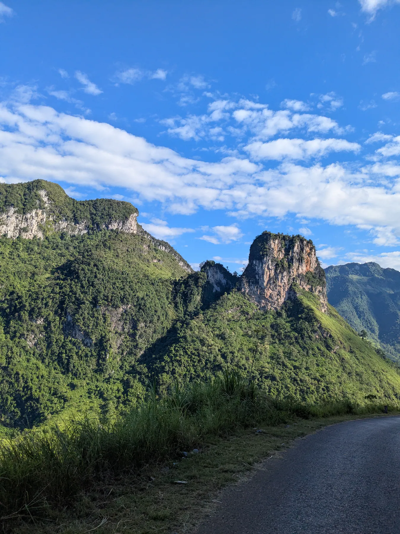
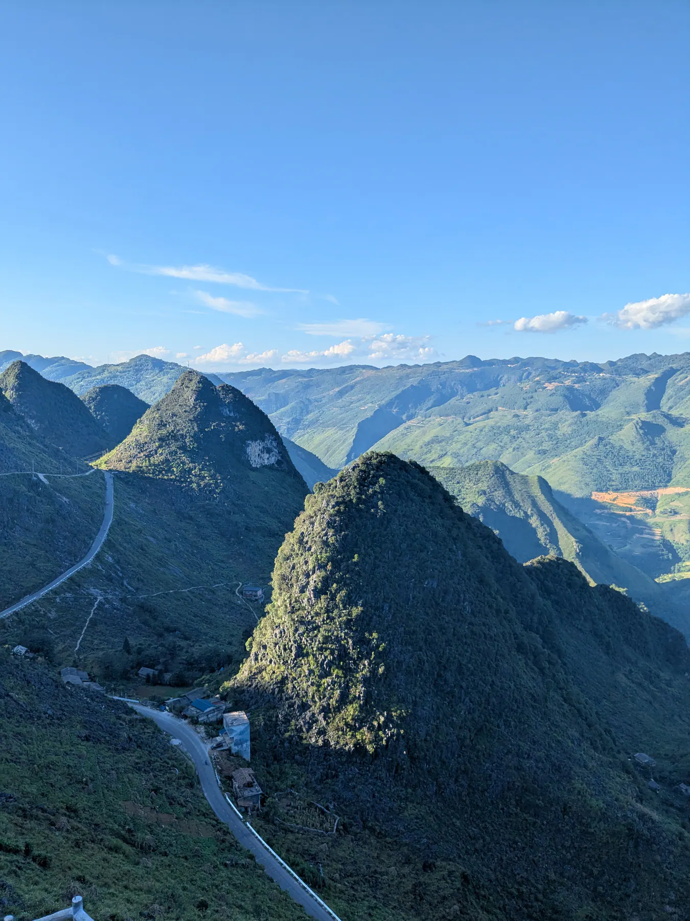
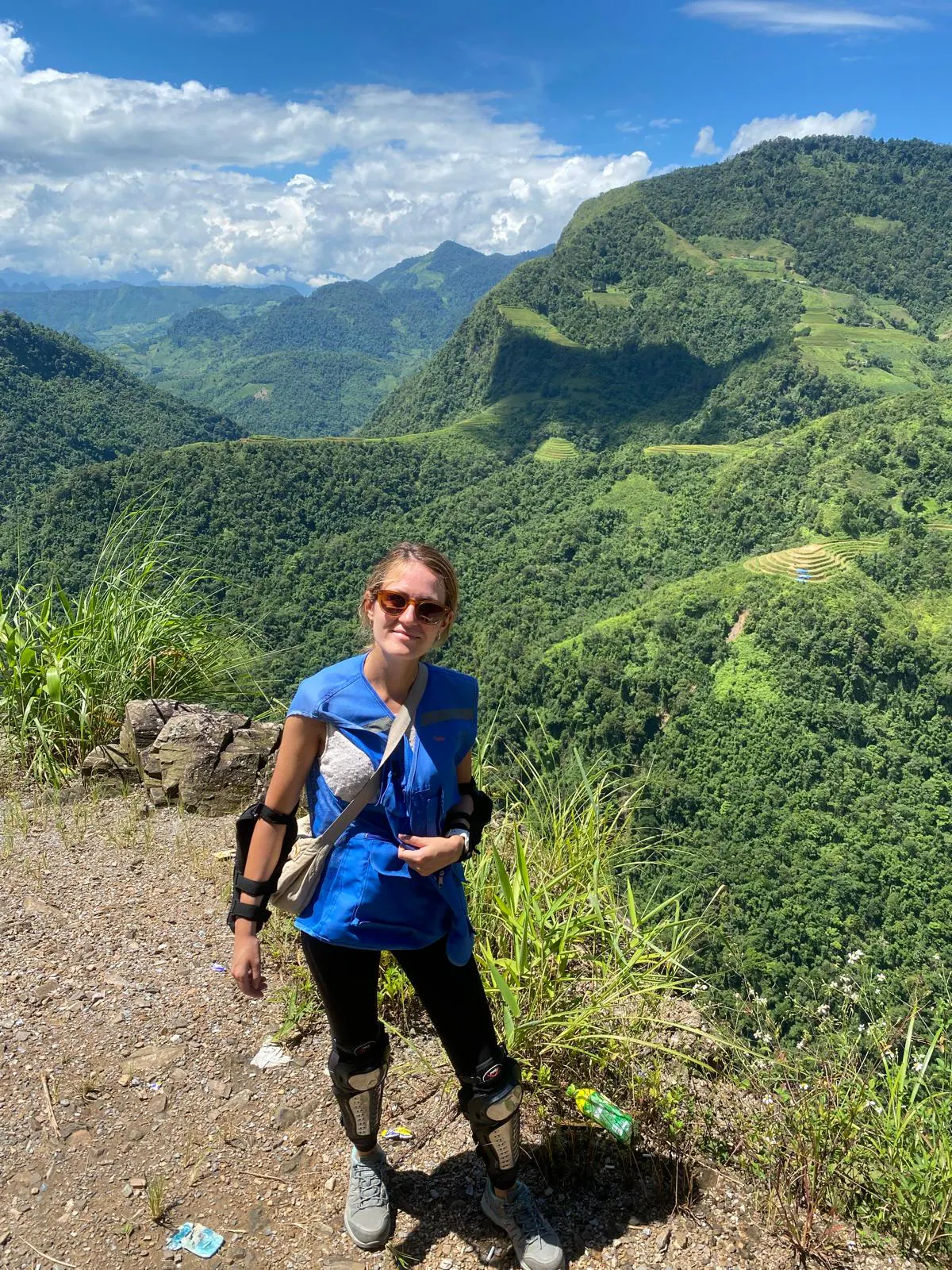
We left Ha Giang until the end of our two weeks in Vietnam, saving it as the last highlight - the thing we thought would be a beautiful culmination of the trip. We did the trip in September 2025. It turned out to be three full days that closed the trip properly. The nature up there was breathtaking, and we saw so much variety in three days that I'll remember it for the rest of my life.
If the name doesn't mean anything to you: the Ha Giang loop is a circular road through Vietnam's northernmost province, up against the Chinese border. It runs across a limestone karst plateau - a UNESCO geopark - through terraced fields, mountain villages, and some of the most dramatic roads in Southeast Asia. It is home to Hmong, Tay, Dao and other communities. Most people ride it over three or four days, either driving themselves or on the back of a bike with a local driver, an "easy rider".
From Hanoi to Ha Giang by overnight VIP sleeper bus
We took the overnight VIP sleeper bus from Hanoi, though day buses run too. There's one address where all the tourist buses leave from, and this was the only moment in the entire Vietnam trip when things didn't run on time. After waiting a while we were mostly just relieved not to have been left behind.
The VIP sleeper buses themselves are comfortable - you get your own cabin or proper bed section with a pillow, not a reclining seat. On safety I'm less sure, and I'll leave that there.
The drive took around six or seven hours overnight. The wake-up call, when we arrived at the village, was loud Vietnamese techno played through the bus speakers, which was a funny way to start a day.
We got in at about half past five in the morning. The tour company let us have a room to wait in until the tour started a few hours later, which made a real difference - otherwise we'd have been sitting outside the entrance. They did try to charge for it afterwards, and dropped it when we explained nobody had mentioned it beforehand. Worth confirming in advance what's included.
The tour: easy riders, homestays and what €190 covered
We went with Yolo Ha Giang Adventures, three days and two nights, which came to about €190 each converted from the local currency. Honestly, it was a very good decision. They advertise sustainable and authentic trips, and they do tailor-made tours as well, which is worth exploring if the standard route doesn't suit you.
The tour included the VIP sleeper bus from Hanoi and back, which seemed the most convenient way to do it. We paid in cash - worth knowing generally in Vietnam that paying by card almost always means a commission on top.
How long. Three days felt right within a two-week trip. Four days on a motorbike might have been a little too much; three is a good balance.
Group size. There were five of us travellers, a small and calm set of people, three riding pillion with easy riders and two driving themselves. On the road we passed groups of twenty. It depends what you're after: if you want a party in the evening and you enjoy a crowd, a bigger group is the right choice. I prefer quieter experiences, so a small one was perfect. You can't book it exactly - it depends who else signs up for those dates - but you can ask the agency how many to expect, or look for companies that run smaller groups.
The drivers. Mine was the main guide, so I rode at the front of the line next to her all three days. They weren't only drivers: they described the places as we went and answered our questions, and in the evenings, especially over dinner, we had more time to talk about each other's lives. Those were warm moments spent together.
Safety. We had helmets, and as far as I could see, we were the only group wearing knee and elbow pads.
Is three days on the back of a motorbike hard? By the end we were feeling the effects of sitting that long. But with an easy rider I'd suggest it to anyone - you don't have to worry about anything, you just look at the landscape. The roads mostly aren't suitable for people who don't know the area: there are stretches that are difficult to cross, stones, steep sections, all of it.
Timing and food. Everything ran on time, and we were given plenty of water strapped to the motorbike, so that was one thing we never had to think about. The riding days finished around five or six in the evening, when we reached the homestay. There was plenty of food - traditional Vietnamese, three meals a day, and after lunch in that heat I was never ready for dinner.
The homestays. Both nights I shared a private room with my friend; it had its own bathroom and was comfortable and perfectly good. Worth saying, because "homestay" can mean anything from a dormitory to a hotel room, and here it was the latter.
Day one: rice terraces, mountain villages and Du Gia
We started along the Thai An road, stopping at several viewpoints, with terraced rice fields below us and an incredible green over everything. There's a waterfall on the way, A Boong, and lunch at a restaurant on the road where they brought out food prepared for far more people than there were in our group, and the view was as good as the meal.
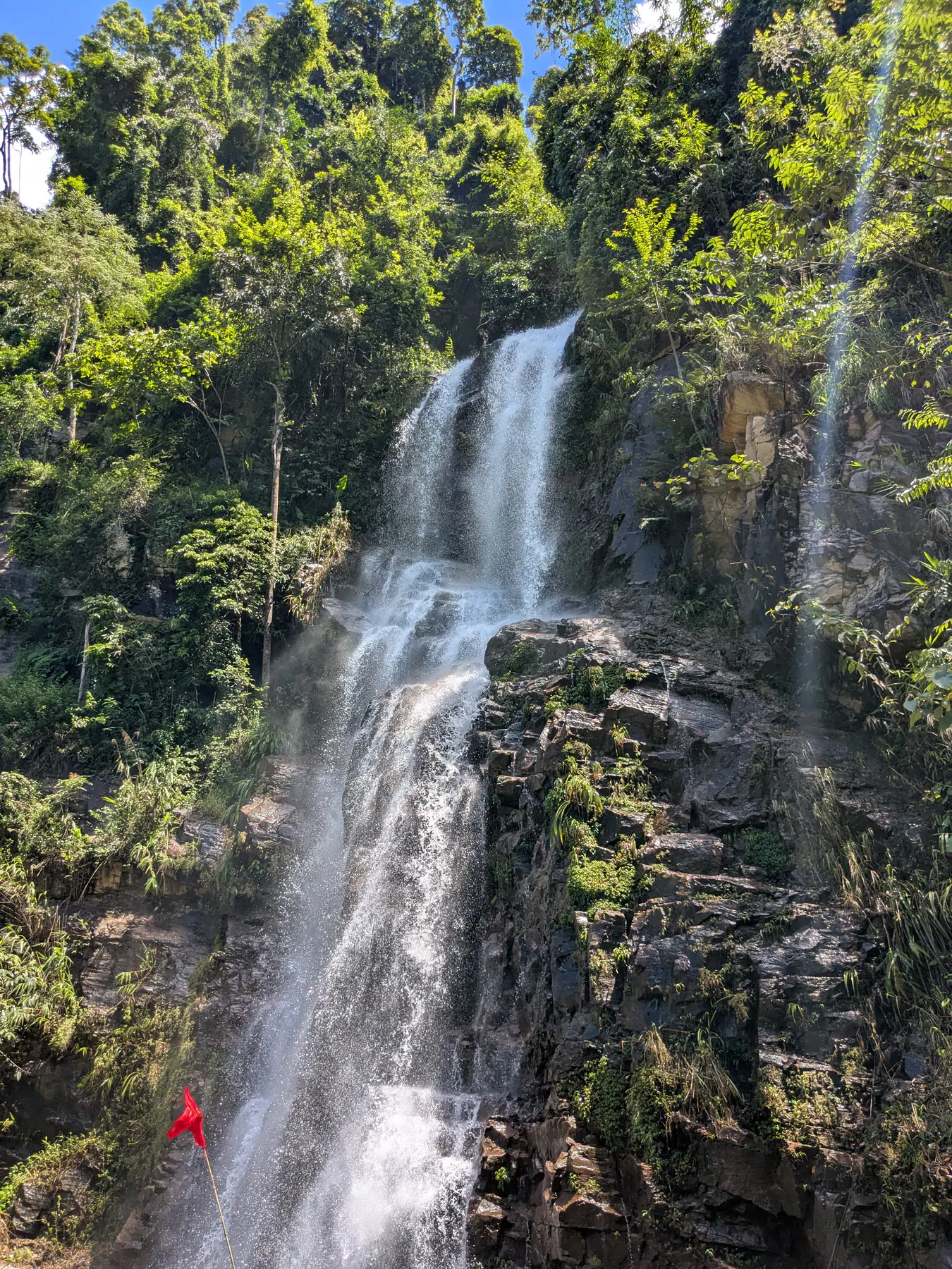
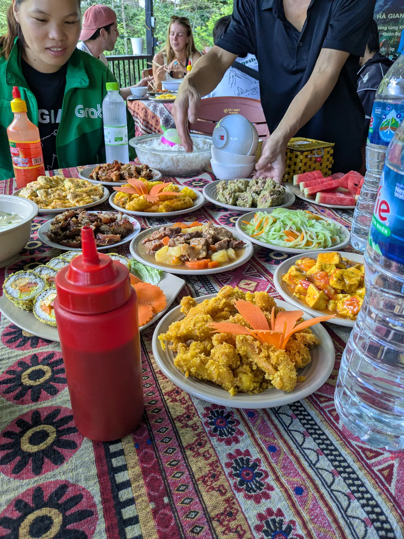
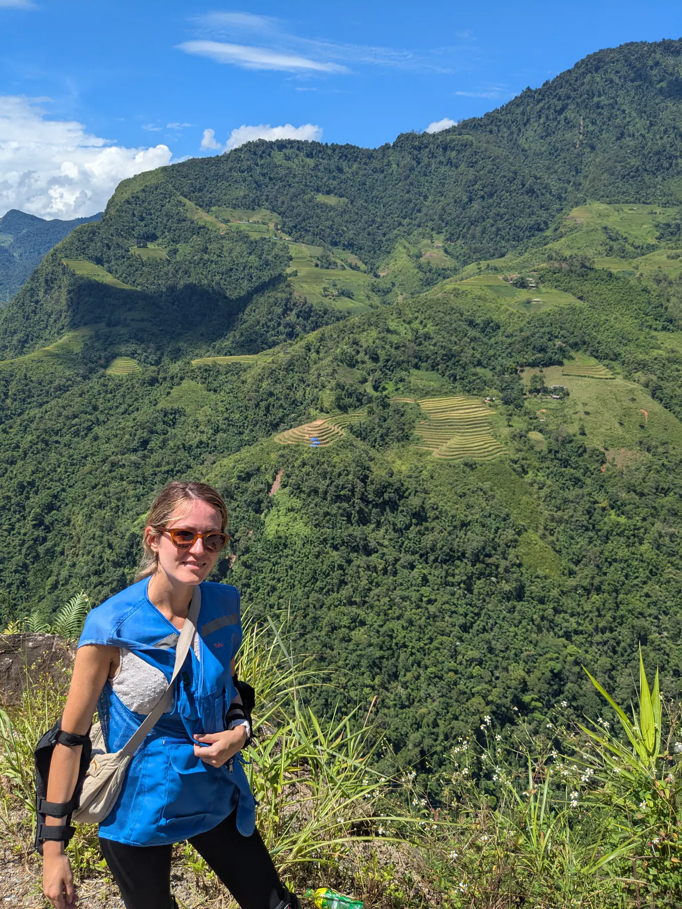
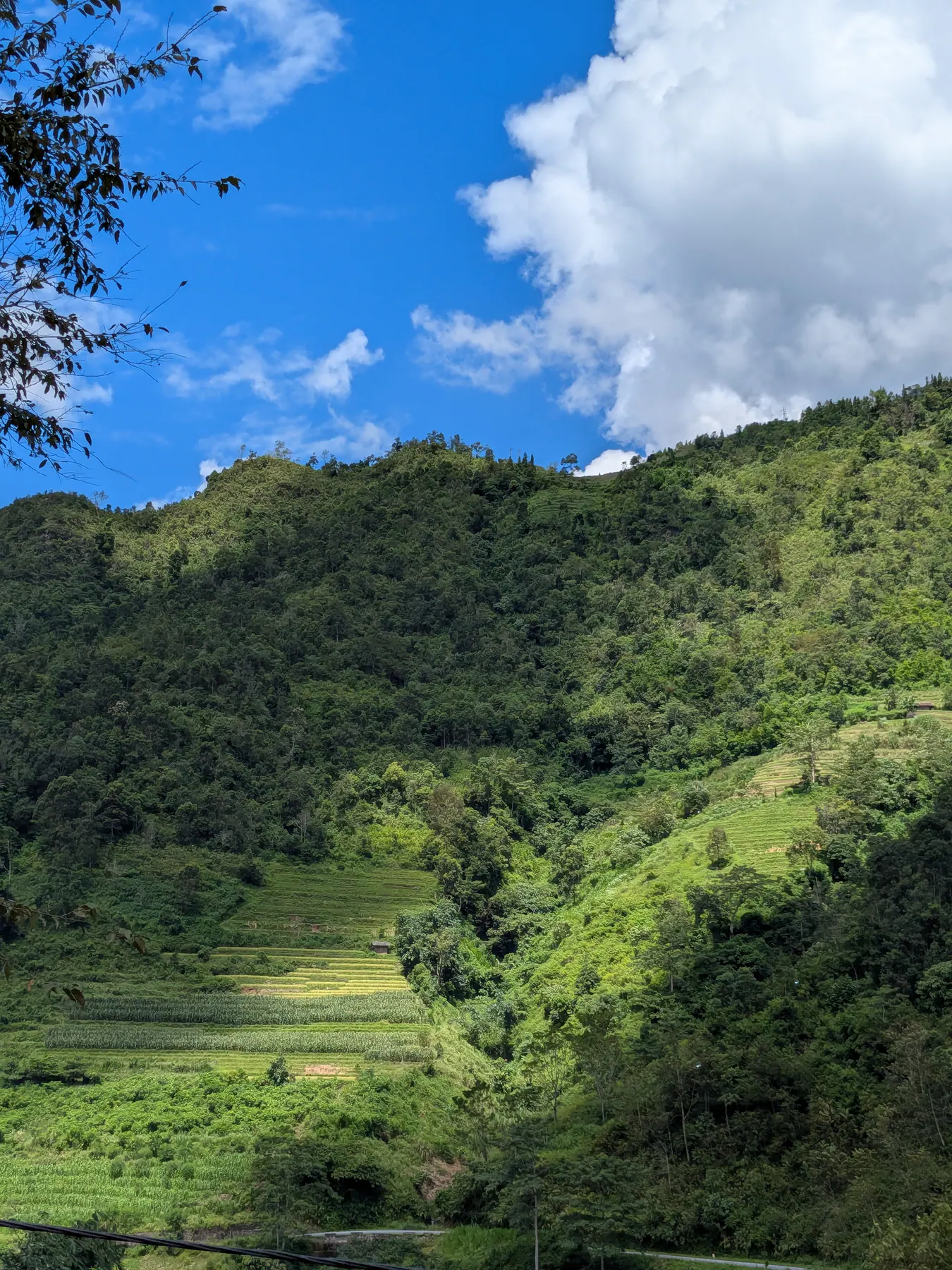
There was also a longer stop above Lung Tam, looking down at the village across the valley. We stayed there a while ‘ it's the kind of view you don't want to hurry. There were even hammocks between the trees where people could relax.
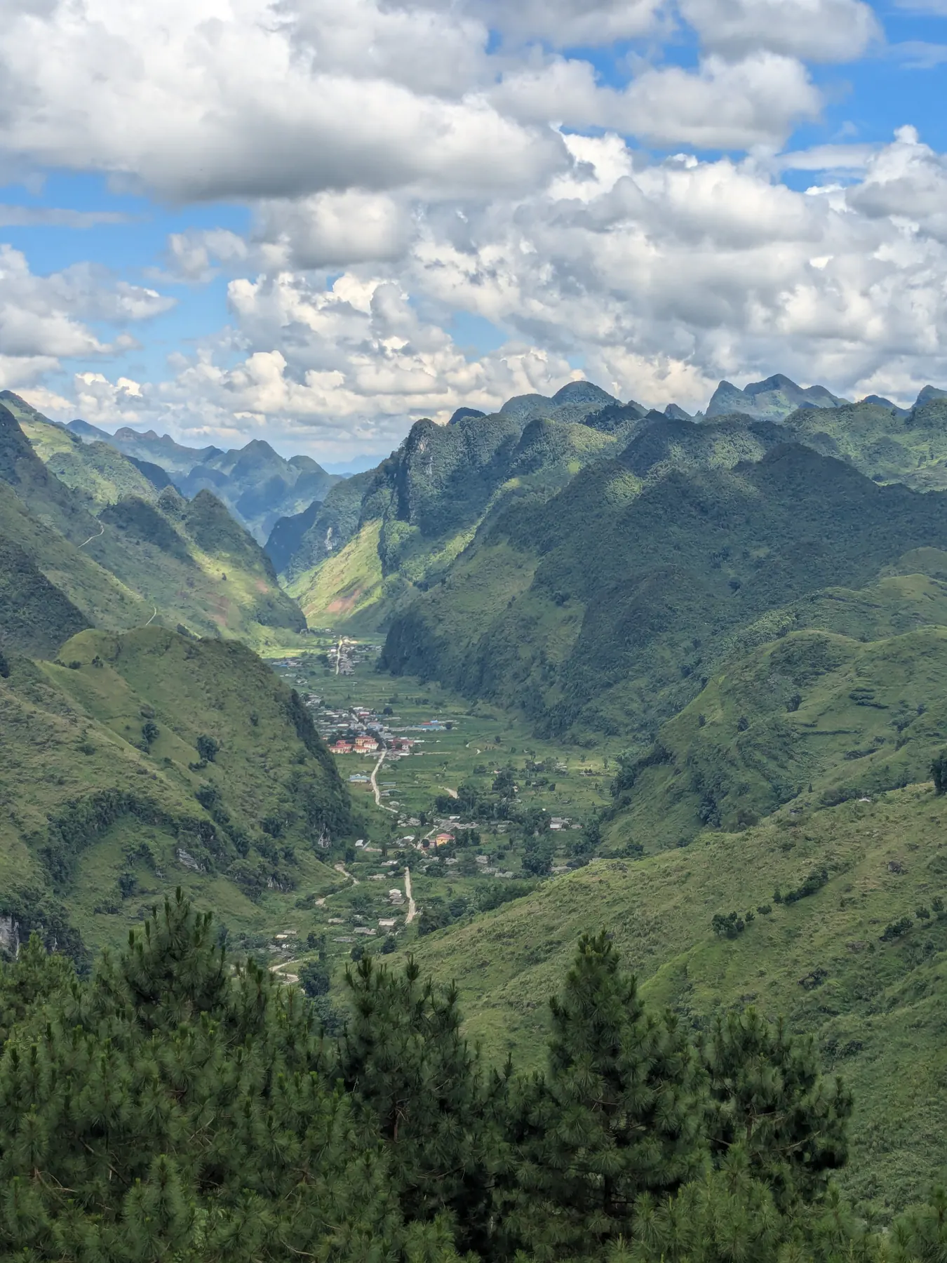
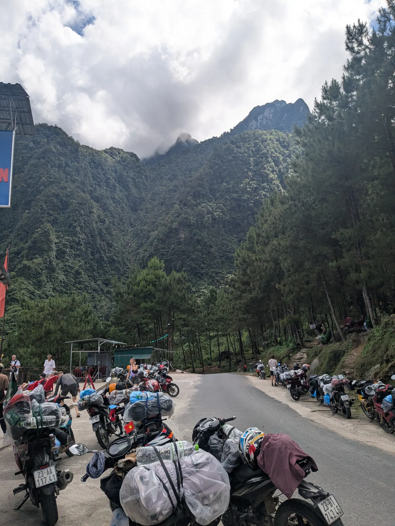
The stop I remember most from that day was the Lung Ho viewpoint, first for the valley and then for the mountains above it, and the area around Duong Thuong. That was a real wow moment.
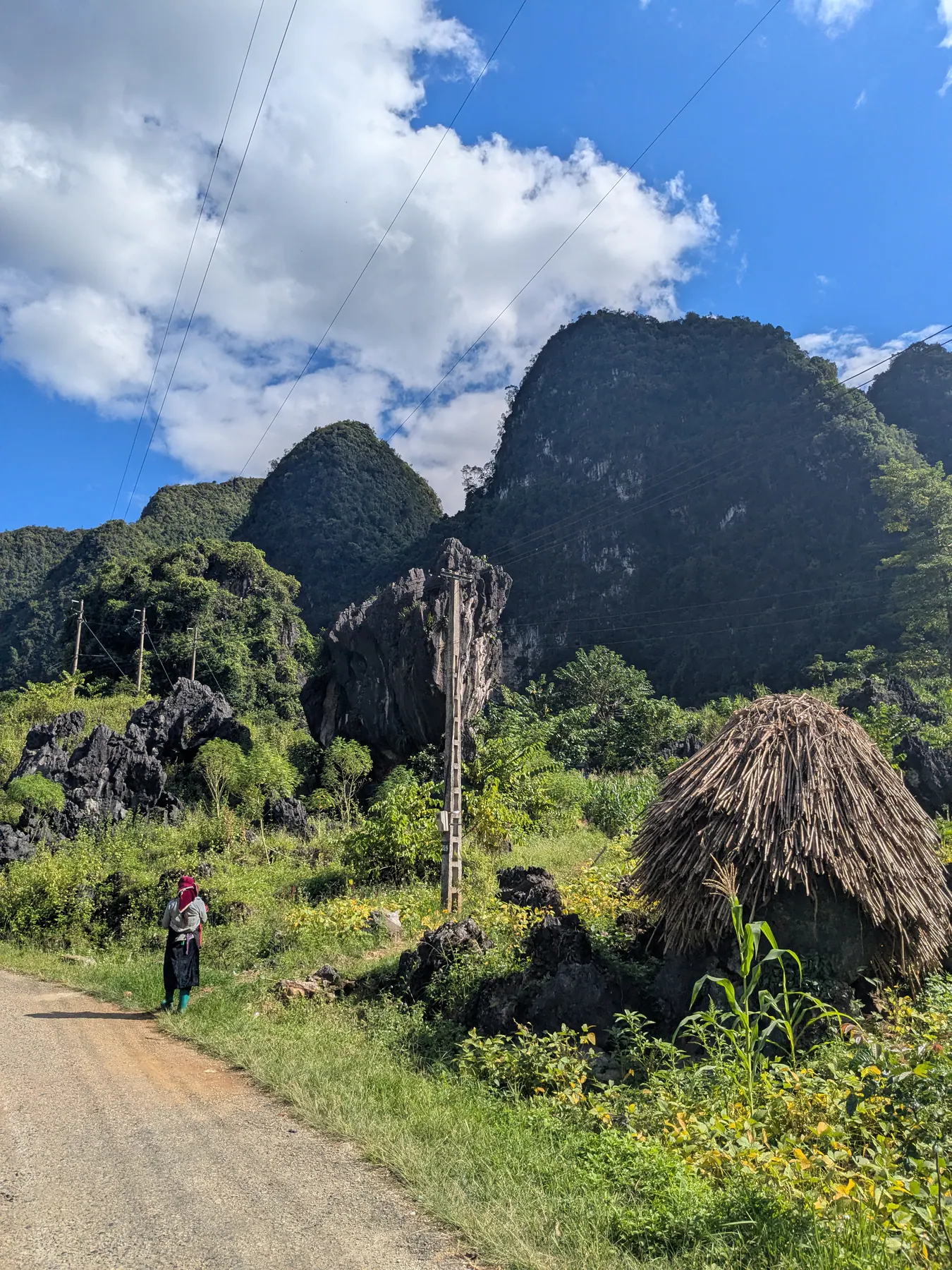
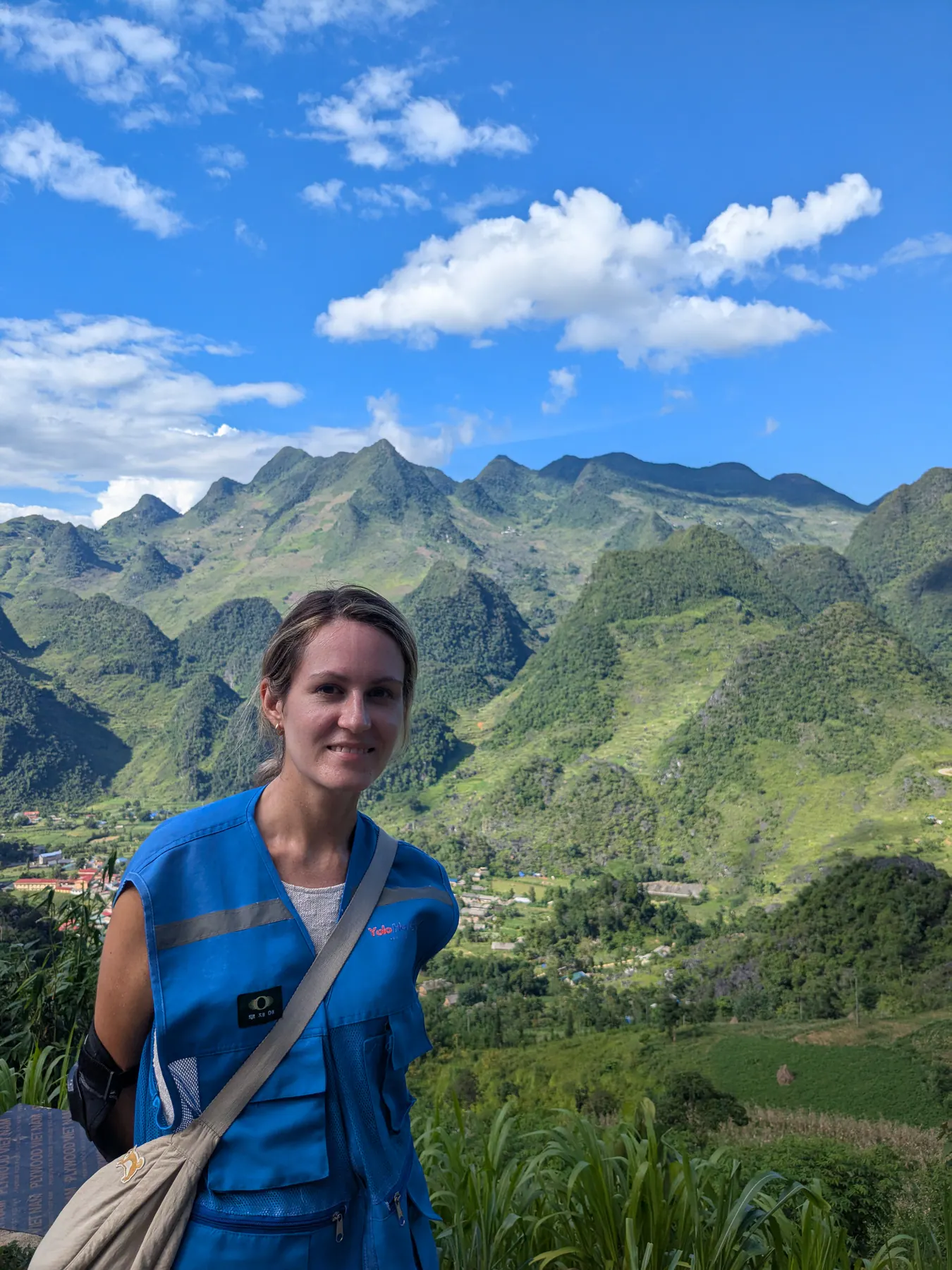
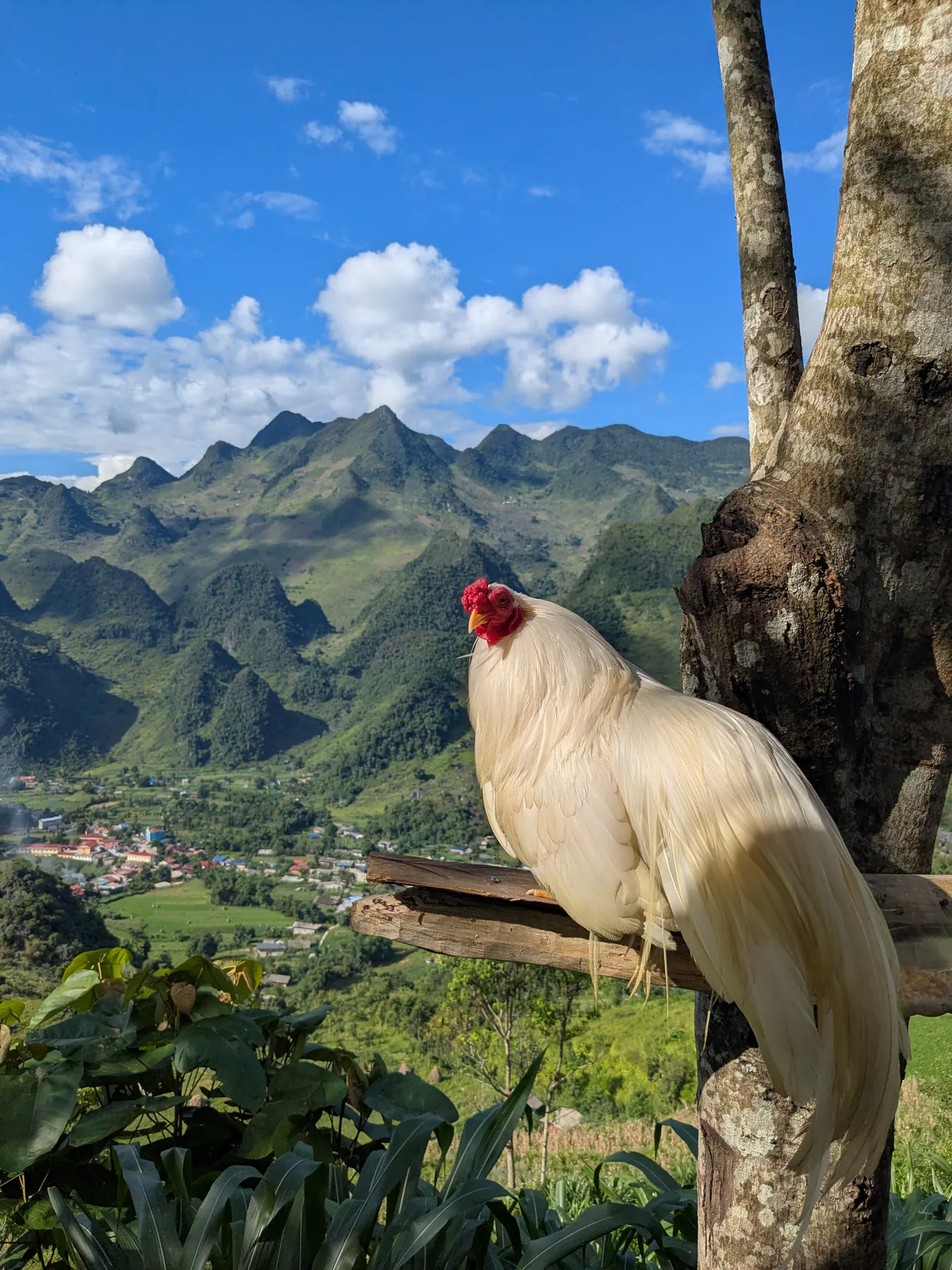
Most of the riding that day I spent with my mouth open, looking around. It's hard to take in how beautiful it all is.
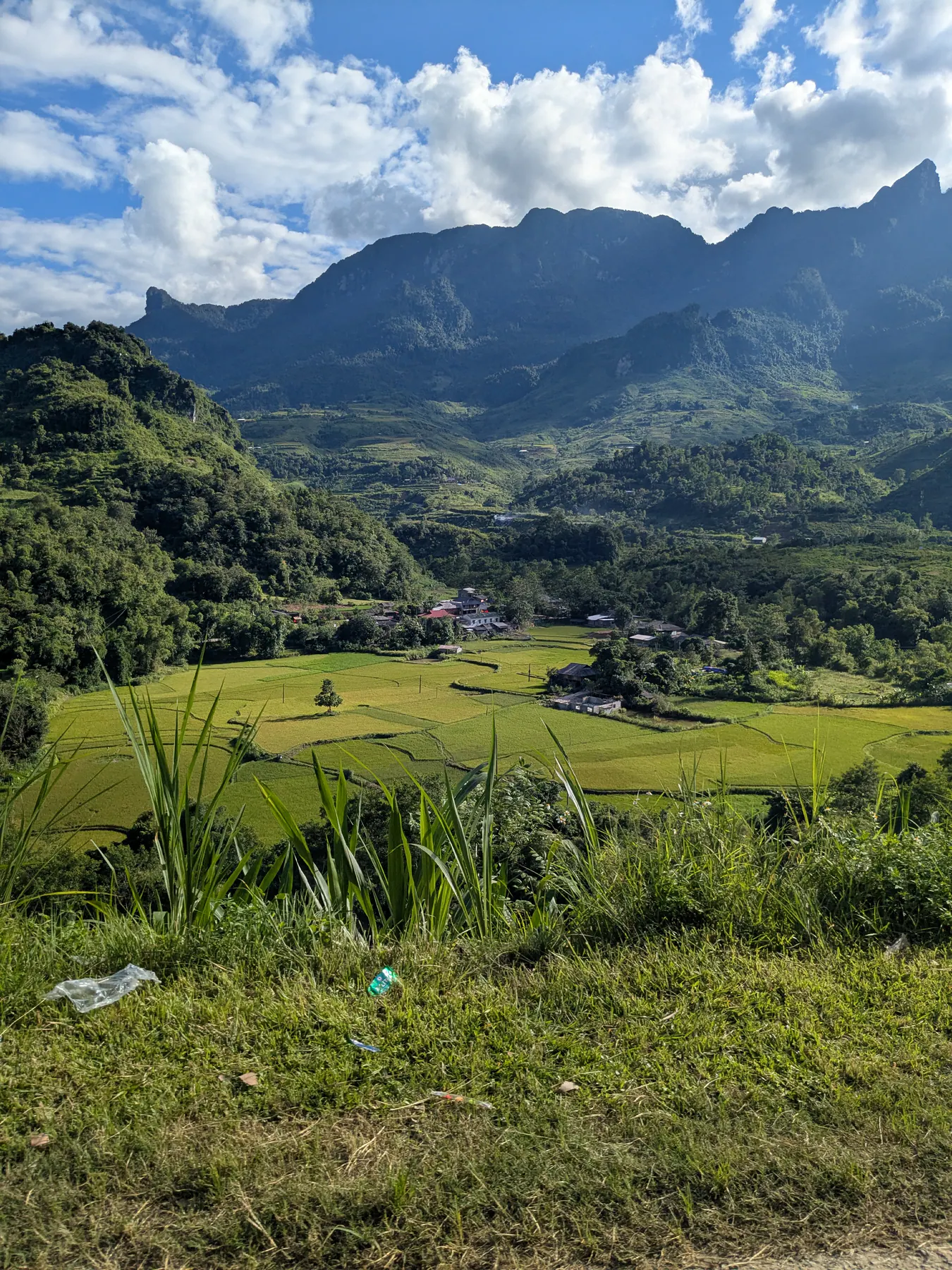
It's worth saying that we made a lot of viewpoint stops over the three days, and at some of them it felt crowded. This is a standard tour with the stops decided by the guides, and every company stops at the same places.
To be fair, the viewpoints are tourist-oriented partly because they have to be. These are serpentine mountain roads and you can't simply pull over wherever you feel like it - that would be dangerous. The stops exist where it's safe to stop.
Towards evening we reached our homestay at Du Gia Panorama Ecolodge, which was my favourite of the places we stayed on the tour. Cosy, rooms with beautiful terraces, and from outside it was built into the landscape rather than dropped onto it.
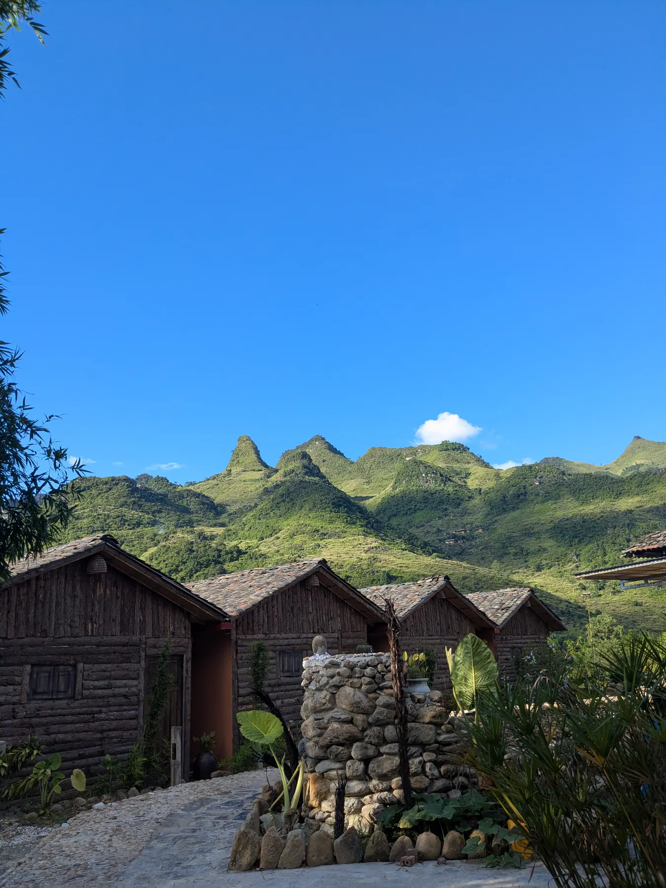
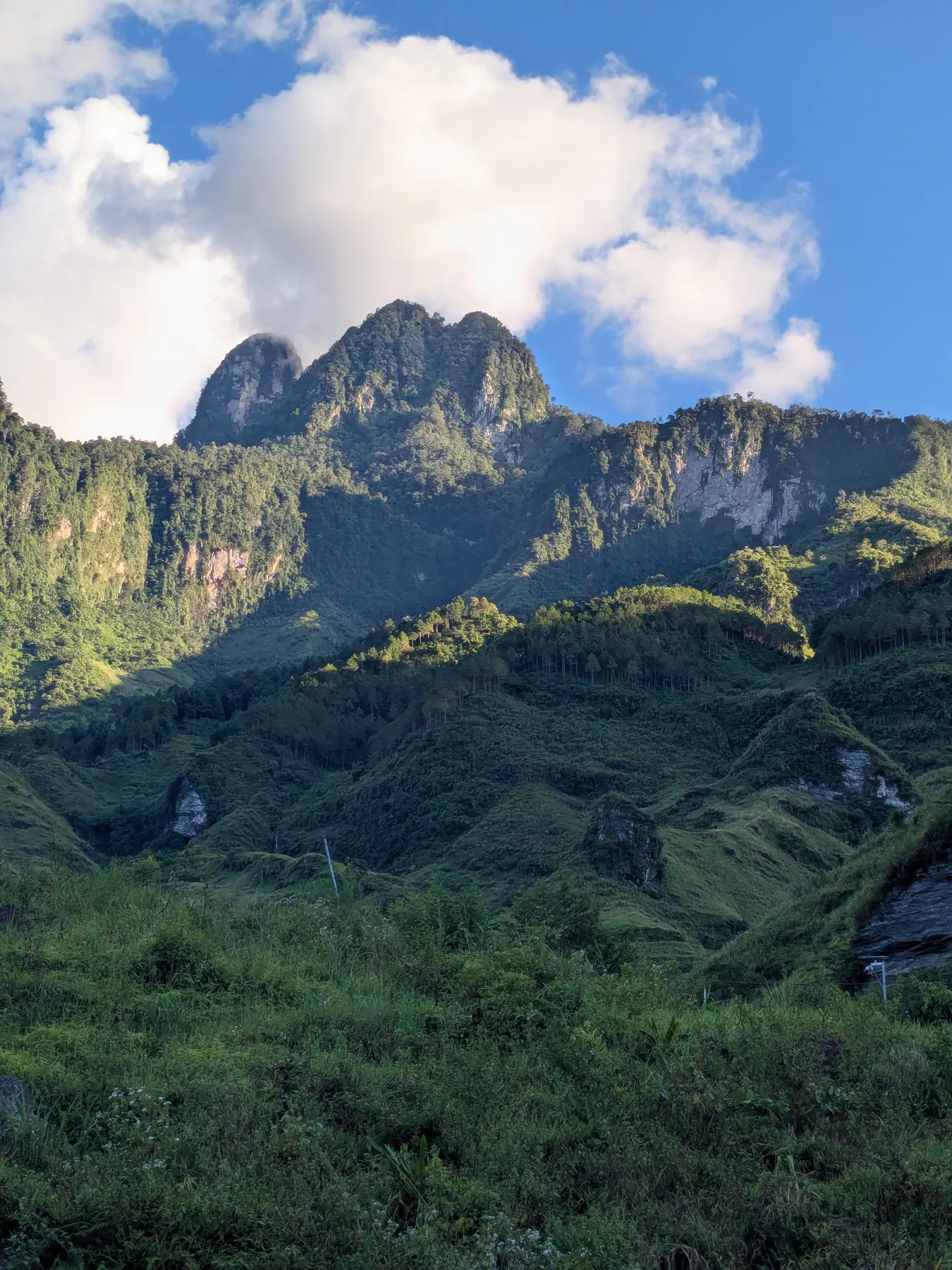
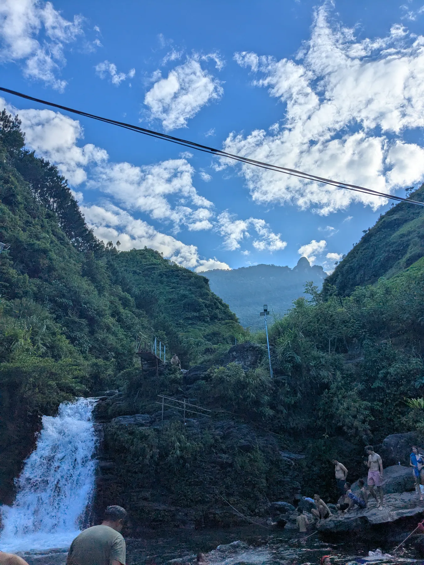
Then we were taken to Thac Du Gia, the waterfall, and that was my least favourite part of the trip. It was full of tourists jumping into the water and drinking at the bar, the least quiet moment of three days. I'd enjoyed the ride before it far more. There were people in their early twenties having a wonderful time, so this is a matter of what you're after rather than a criticism.
Day two: the Nho Que canyon and Ma Pi Leng’s cliff roads
The second day brought new views and new places, and what struck me is how much the scenery changes - not just from one day to the next but hour by hour as you ride. The variety up there is remarkable.
Mau Due viewpoint was a good stop, looking out at rice fields in the distance. The whole La Si area is full of agricultural terraces and terraced fields, and it was one of my favourite stretches. There was one place that looked incredibly beautiful and I didn't ask the guide in time whether we could stop. I still regret it.
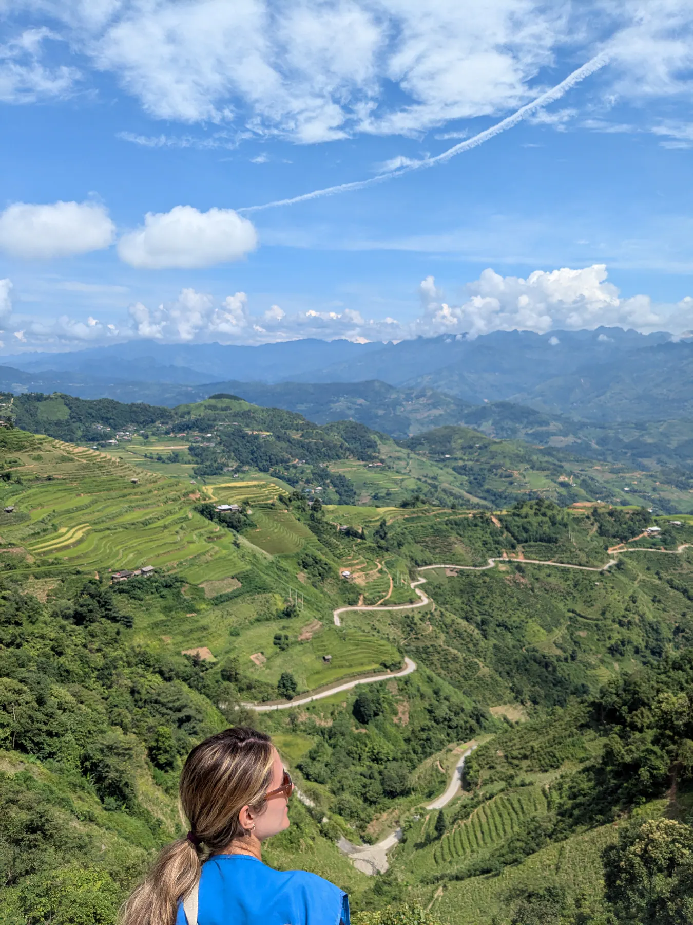
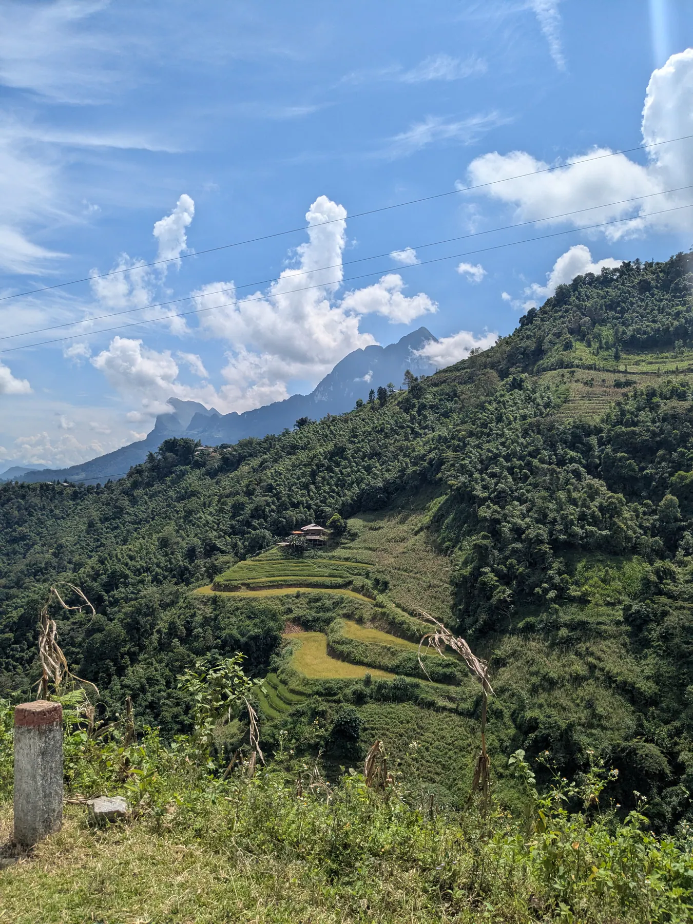
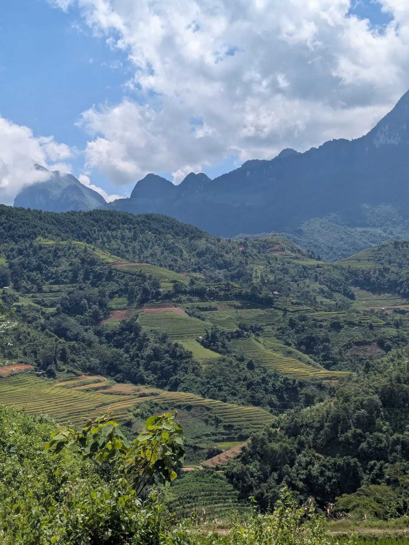
Then the green terraces changed completely and we were into rawer mountain country around Lũng Phìn, the slopes contrasting against the roads cut into them.
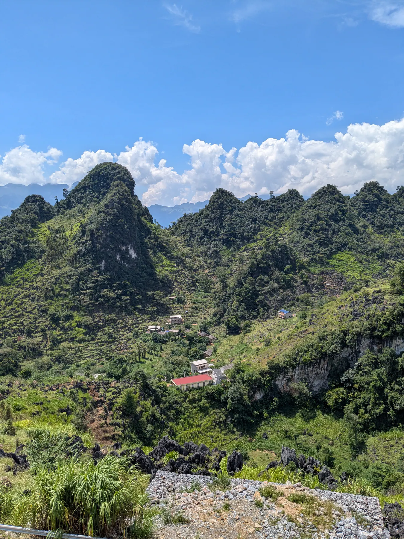
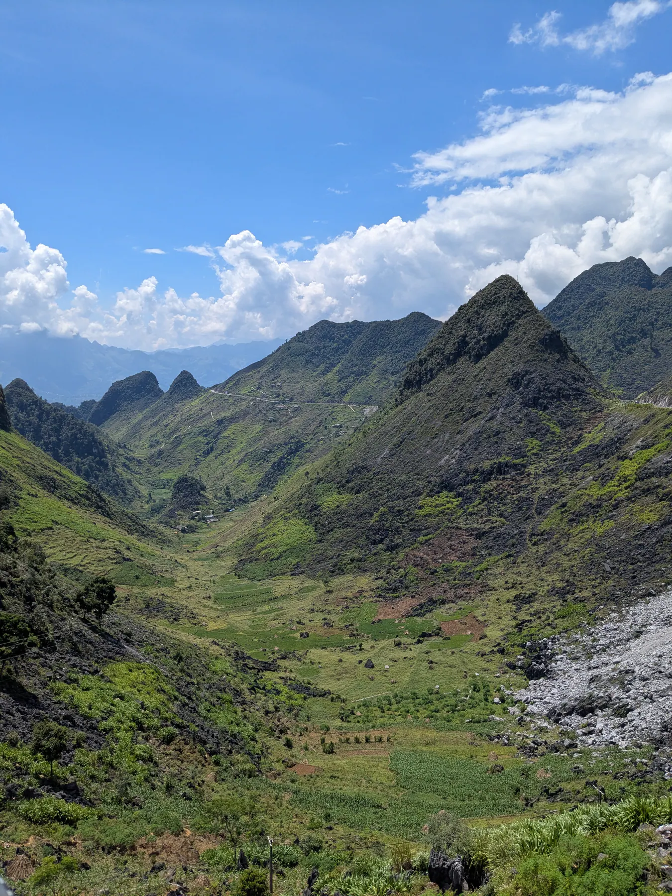
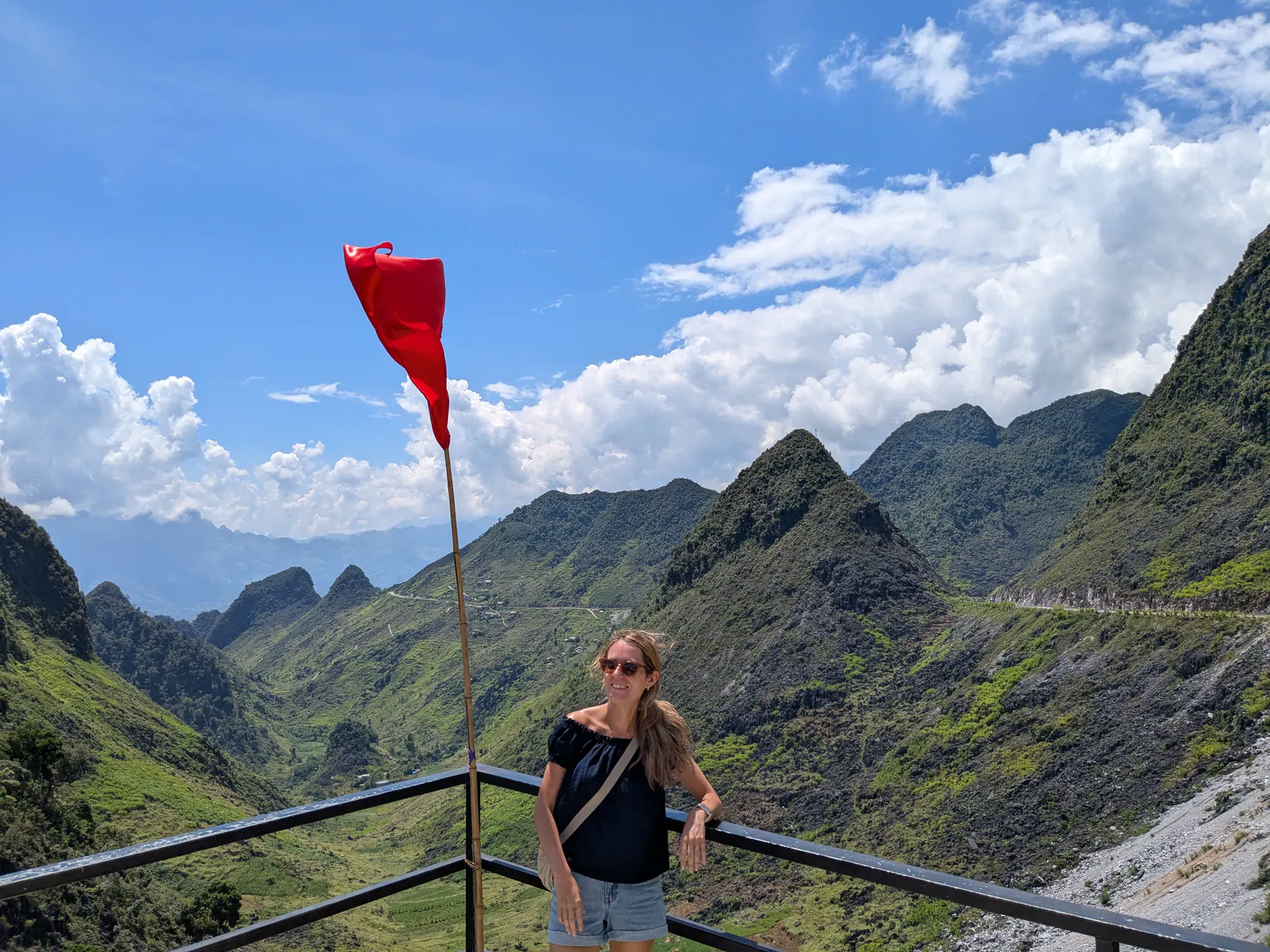
We also passed through villages, which was the culturally interesting part of the day - women in traditional clothes, children coming home from school, ordinary life happening as we went by.
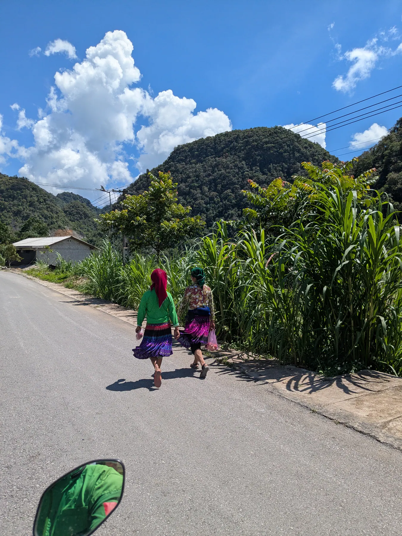
Lunch that day was in a very local place, unlike the other days when we ate somewhere clearly set up for tourists. It was small and modest, we were plainly the only visitors in it, and the village around it was all locals.
The boat trip, and what our guides told us about it
The roads brought us down to the Nho Que river for a boat trip into Tu San canyon, riding through mountain scenery where every curve opened up another incredible view. It is the deepest canyon in Vietnam, with steep cliffs rising from the water. Expect crowds when you get there; this is a popular spot.
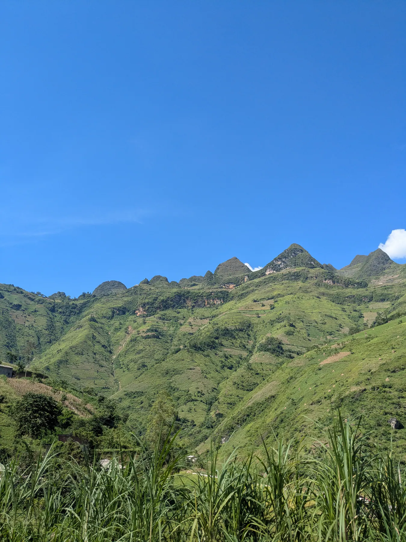
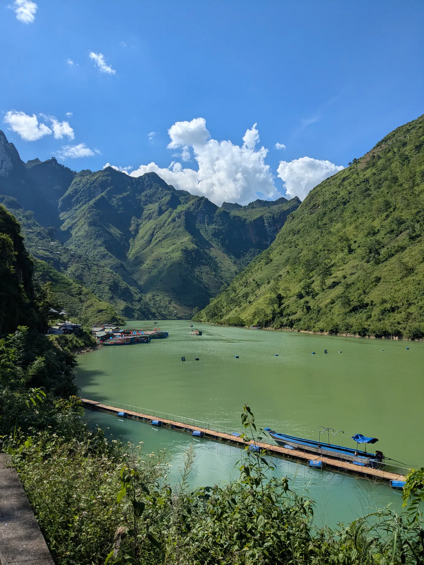
The views from the river were extraordinary, and it was a good change after a whole day sitting on a motorbike. We saw the canyon from above as well when we left the area, and that was every bit as beautiful.
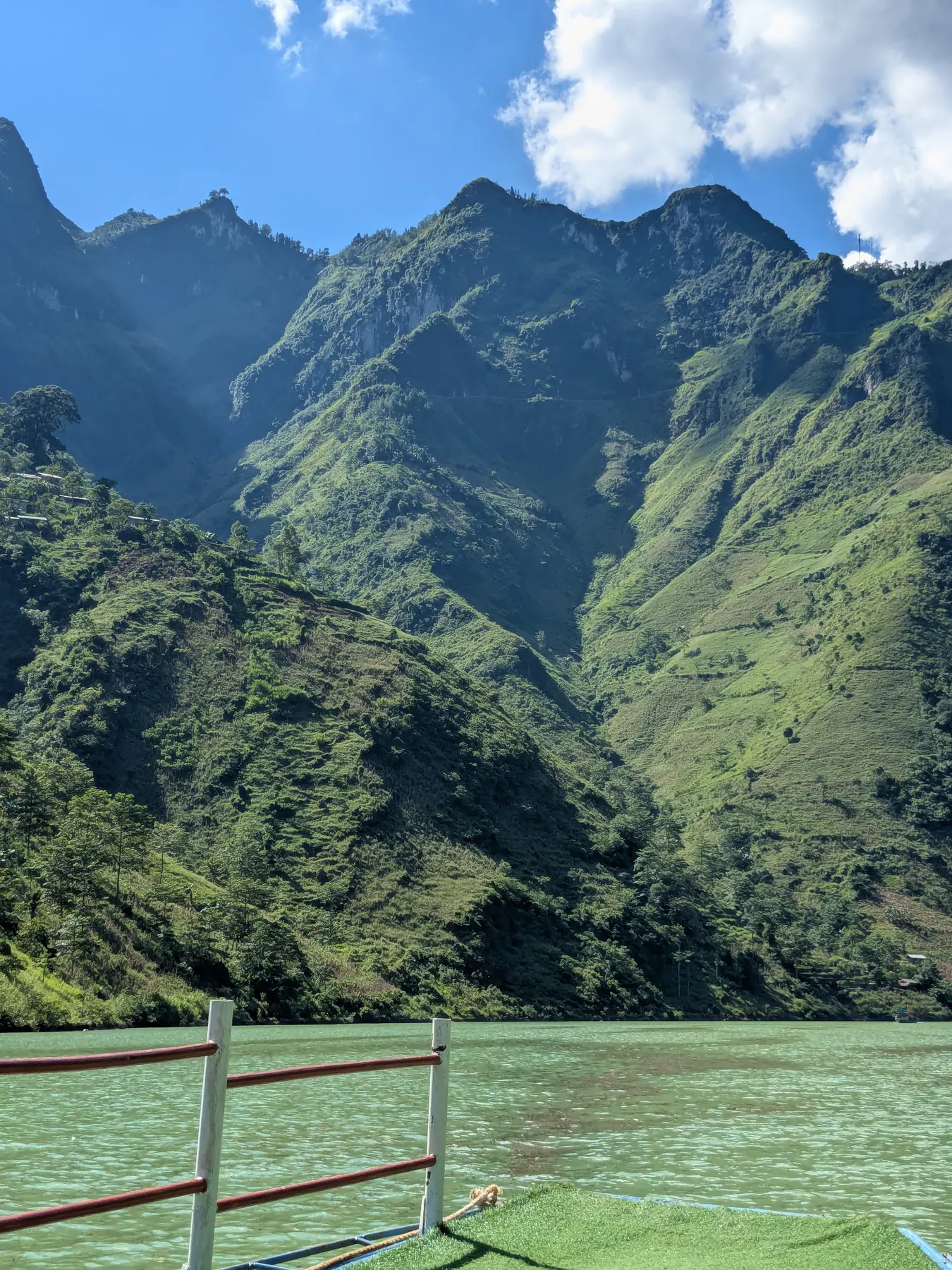
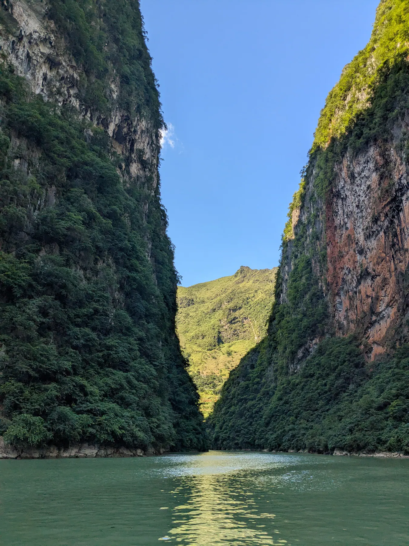
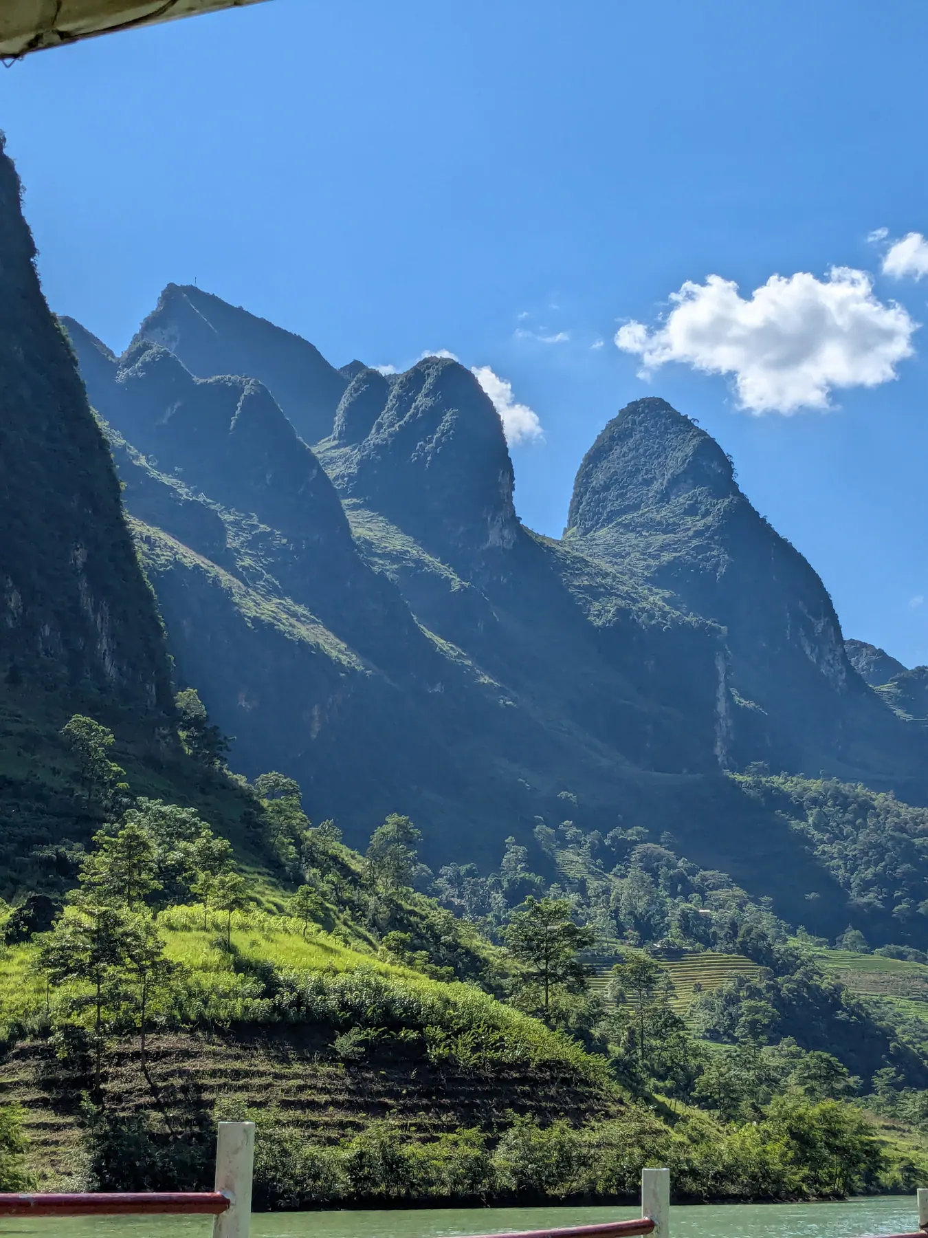
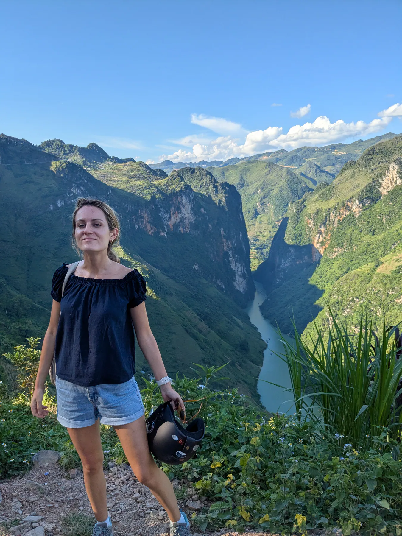
But the boat trip itself is a very touristic experience, and the company was straight with us about it: they told us it had become commercialised and that it disrupts the natural experience there. They offered us a hike instead. It was extremely hot, none of us fancied it, and most of the group chose the boat.
I'm not going to pretend otherwise. We were told, and we did it anyway.
Ma Pi Leng
The Ma Pi Leng pass is the twenty kilometres of road between Dong Van and Meo Vac, and it's the part of the loop people plan whole trips around. We walked about twenty minutes up from it to a higher viewpoint, and what you see from there is breathtaking. By that point in the trip the memorable moments had started arriving faster than I could keep up with.
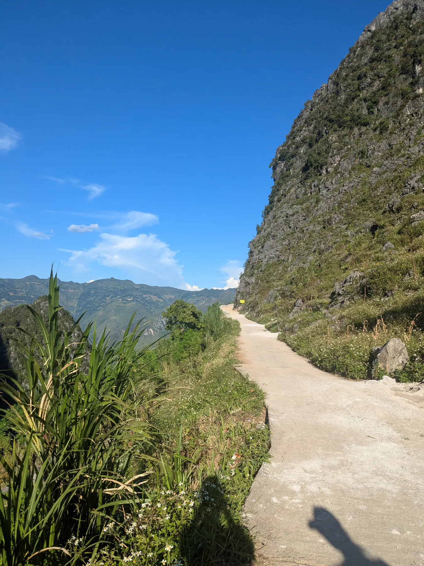
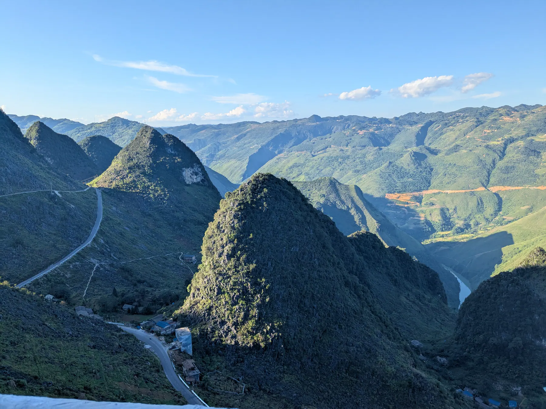
From around Meo Vac we could also see the border with China, which was an interesting moment - you're at the very top of the country up here.
Most of the route you ride on this loop - from Hà Giang city up through Quản Bạ, Yên Minh, Đồng Văn and Mèo Vạc - is known as the Happiness Road, and the Ma Pi Leng section is its most dramatic stretch. It earned the name because it connected these remote highland districts with the rest of the province, making travel and daily life easier for local communities.
We slept at Dong Van Panorama Homestay, next to the village. It was also nice, though it didn't have the isolated feel or the striking views of the first place - nothing bad to say about it, just a different sort of night.
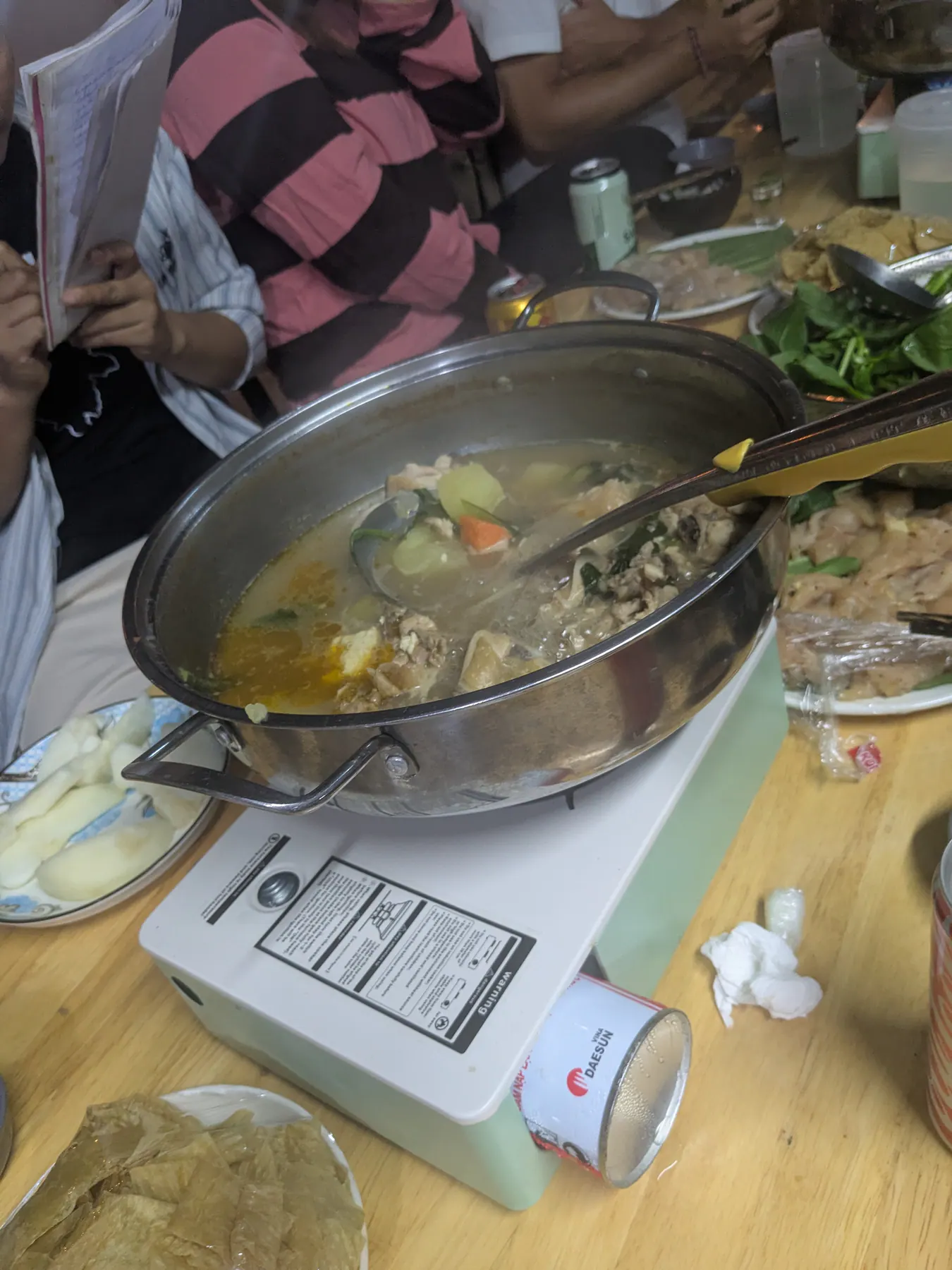
For dinner I tried Vietnamese hotpot for the first time, where you cook the ingredients yourself at the table.
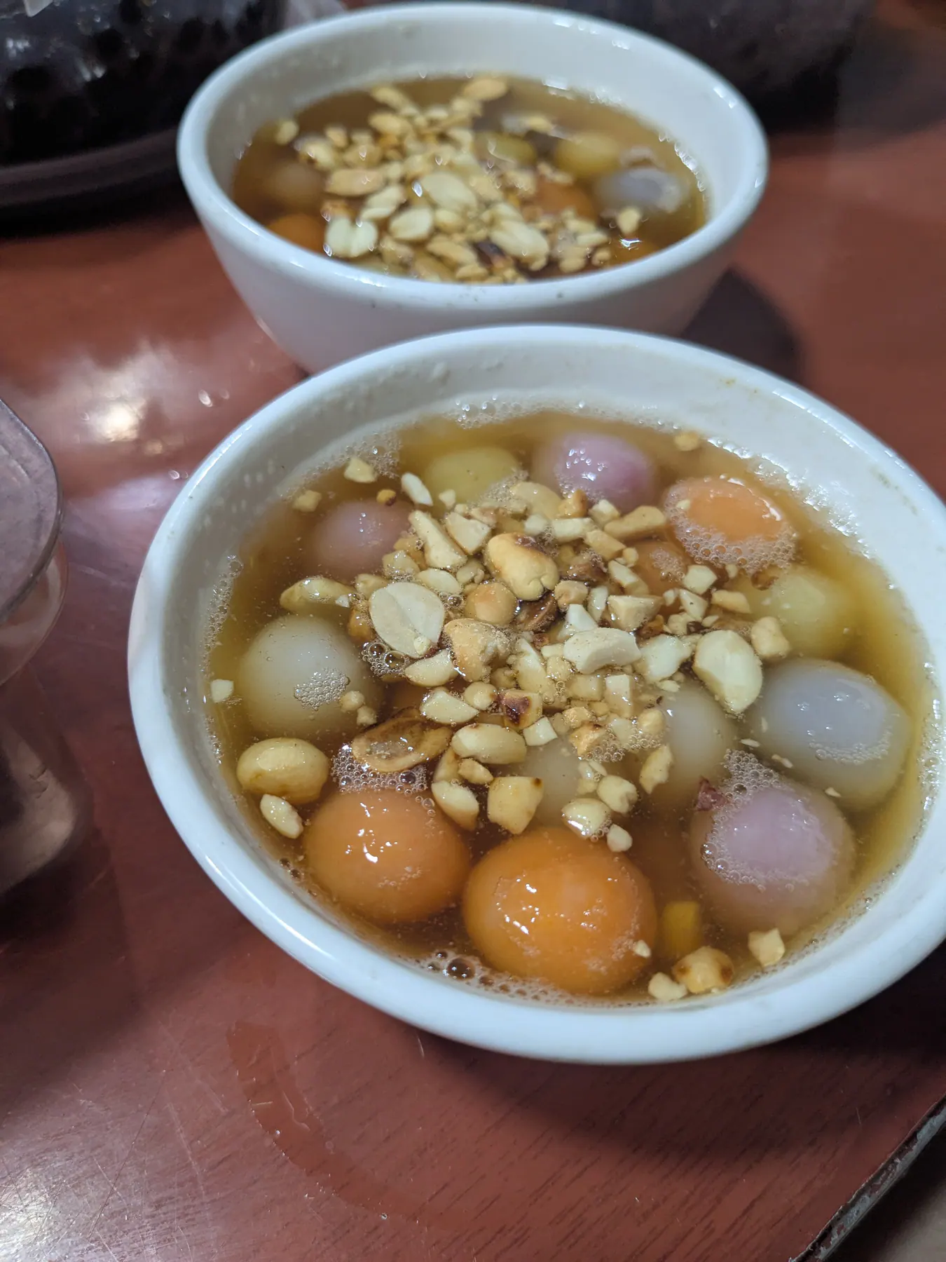
In the evening we had free time and walked into the village, where we tried sweet coloured rice balls with nuts. We'd expected something more flavourful - the taste was quite plain.
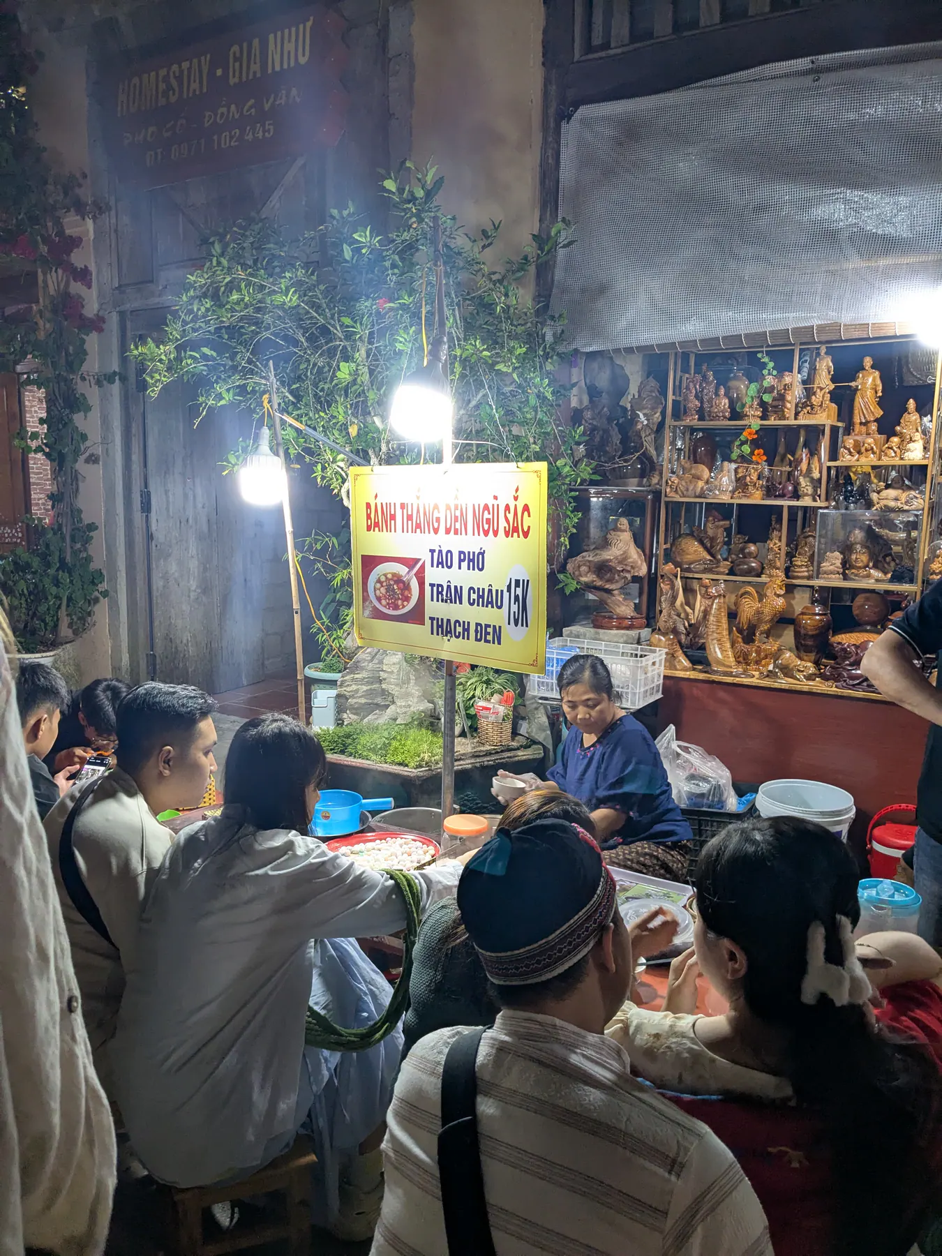
The village was cosy, with a central square and life buzzing away at night - Vietnamese families sitting outside eating, food cooked in pots right there on the street.
Sunday in Dong Van: the market worth waking for
One of the most memorable parts of the whole trip was still to come, and I nearly missed it.
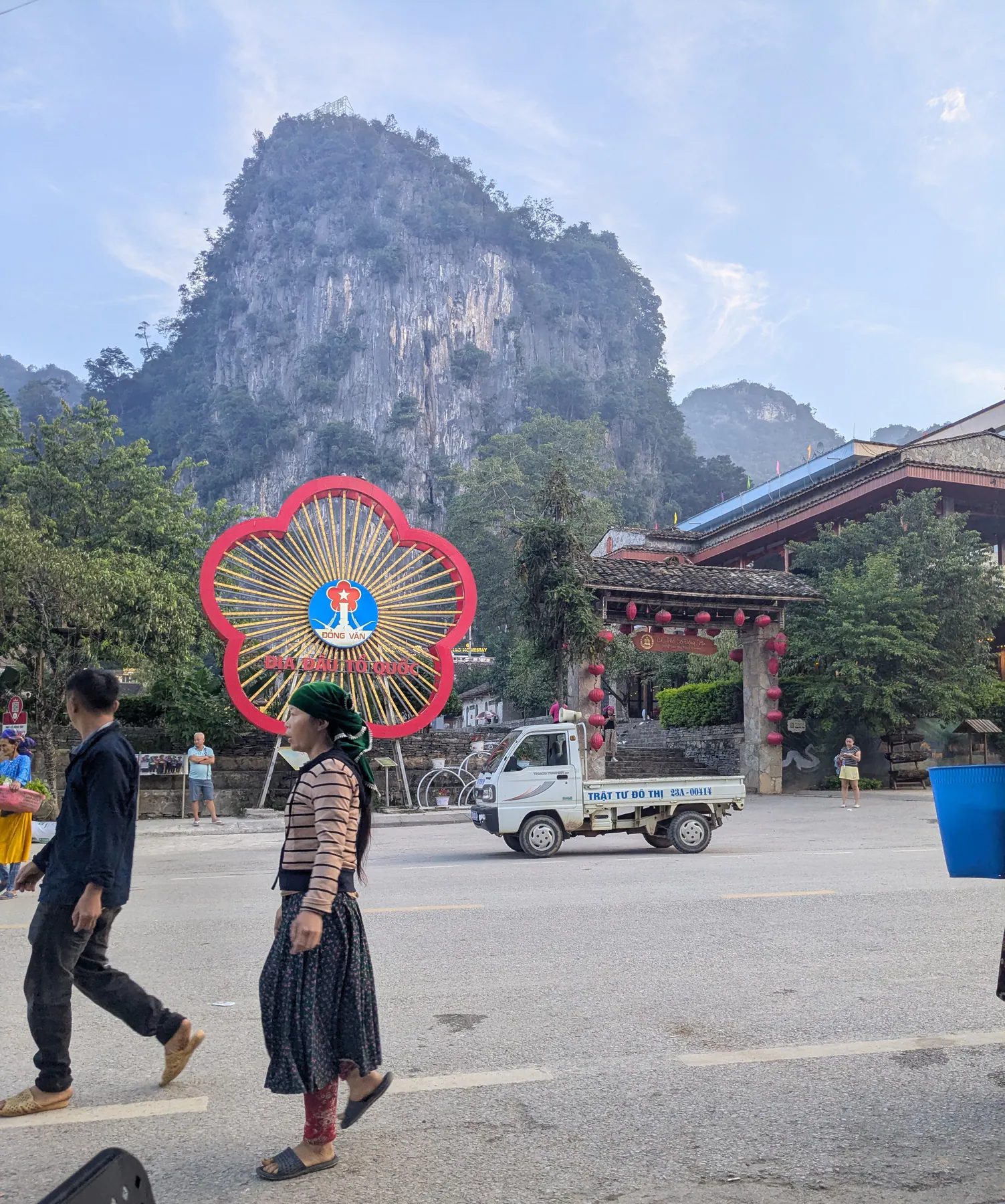
On Sundays there's a market in Dong Van at six in the morning. I was hesitant - I was very tired and thought what I needed was sleep. Going anyway turned out to be the right call.
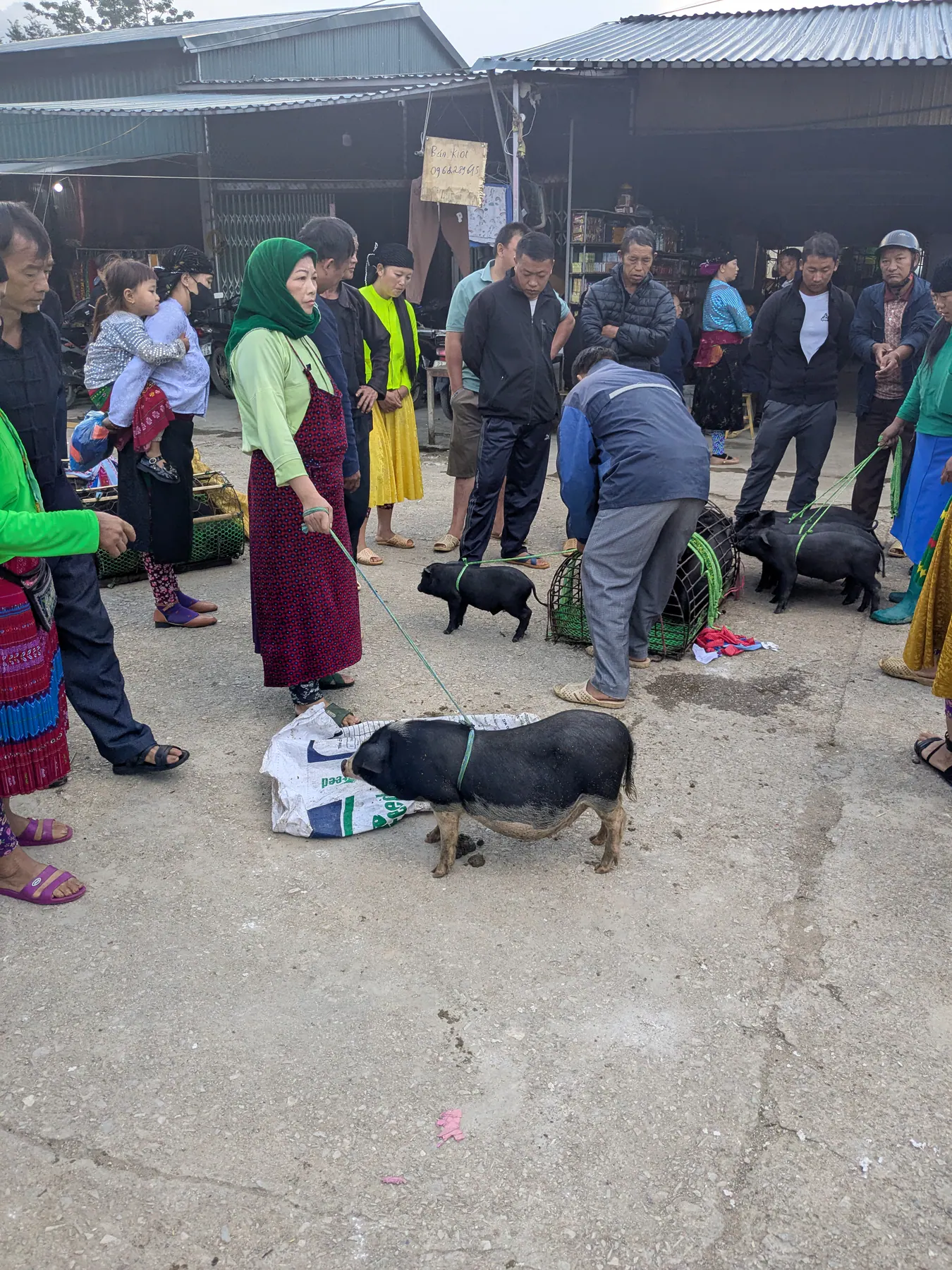
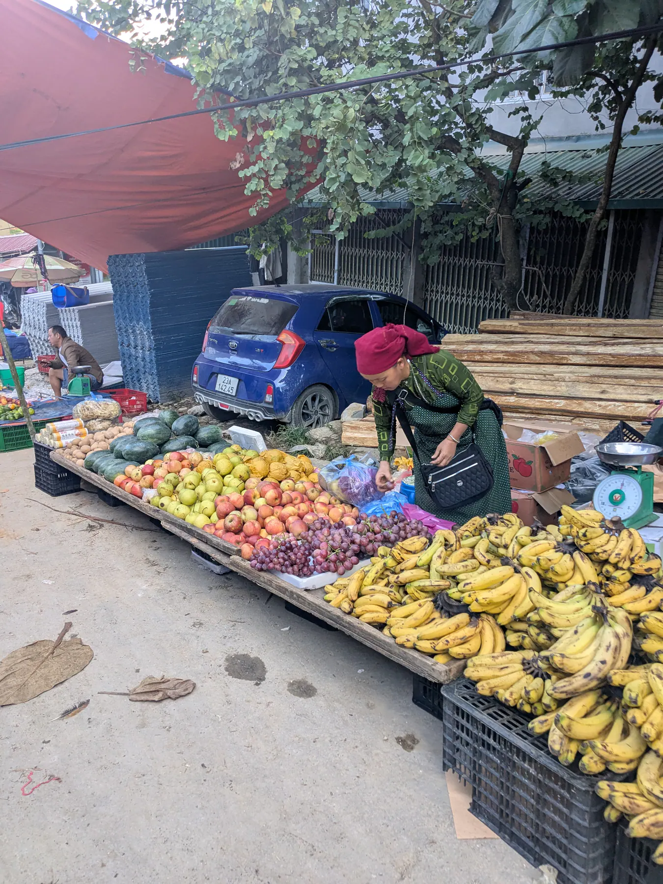
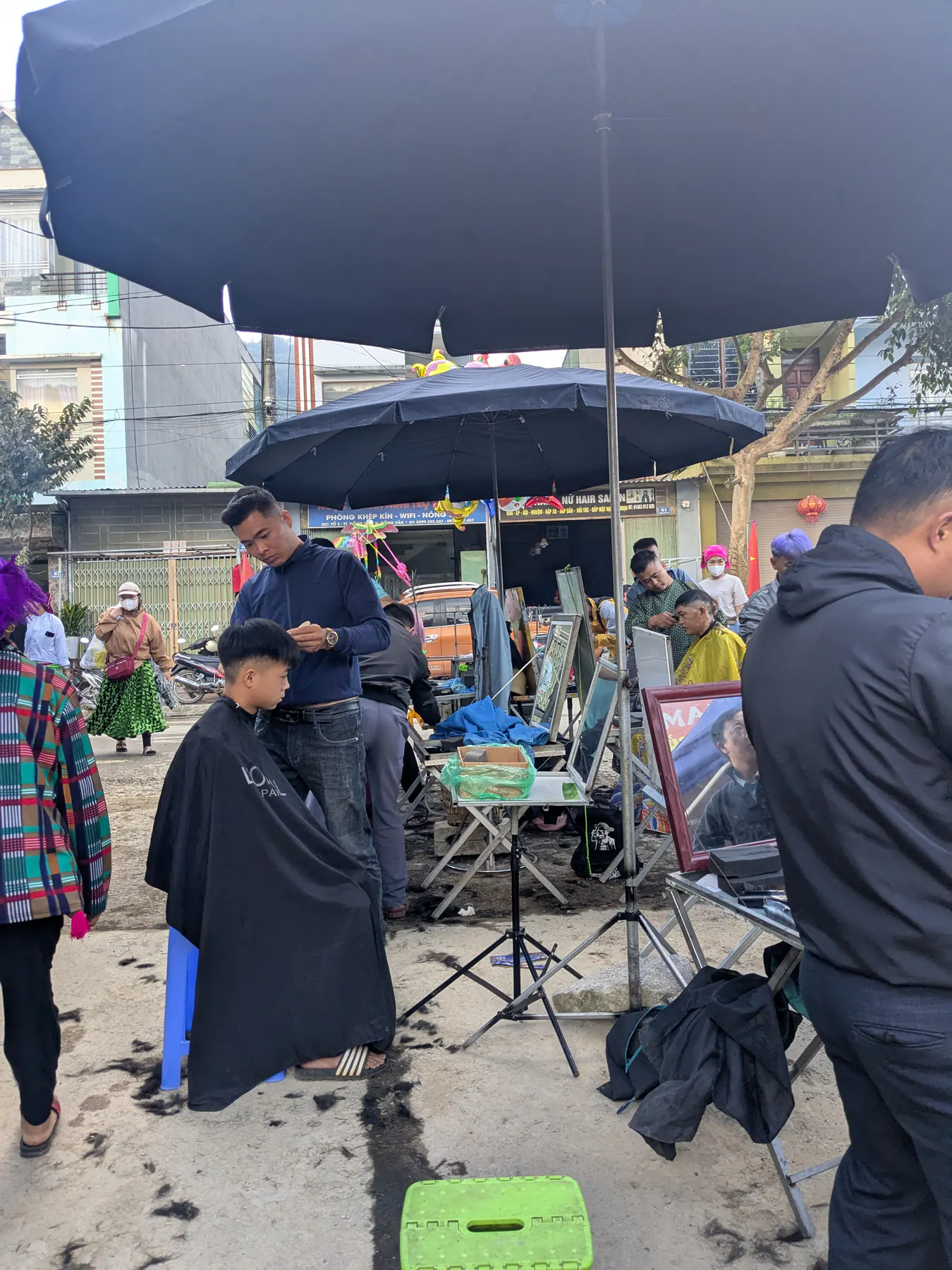
Arriving at the marketplace early in the morning was one of the most local experiences we had in Vietnam. As we came towards it, it was already filling up, people setting out their stalls and selling every kind of thing you can imagine. Pigs on leads, cows, and yes, dogs, all of them for sale. In the middle of it, men cutting hair and giving haircuts. Women sitting on the ground with all kinds of fruit spread in front of them.
As we were leaving and heading back to the homestay, I saw a child with his mother holding a snake in a jar.
That morning was the kind of experience nothing else replaces.
Day three: the Hmong King’s palace and winding mountain passes
We were tired after being up so early, and still mesmerised by what we'd seen. And the day carried on.
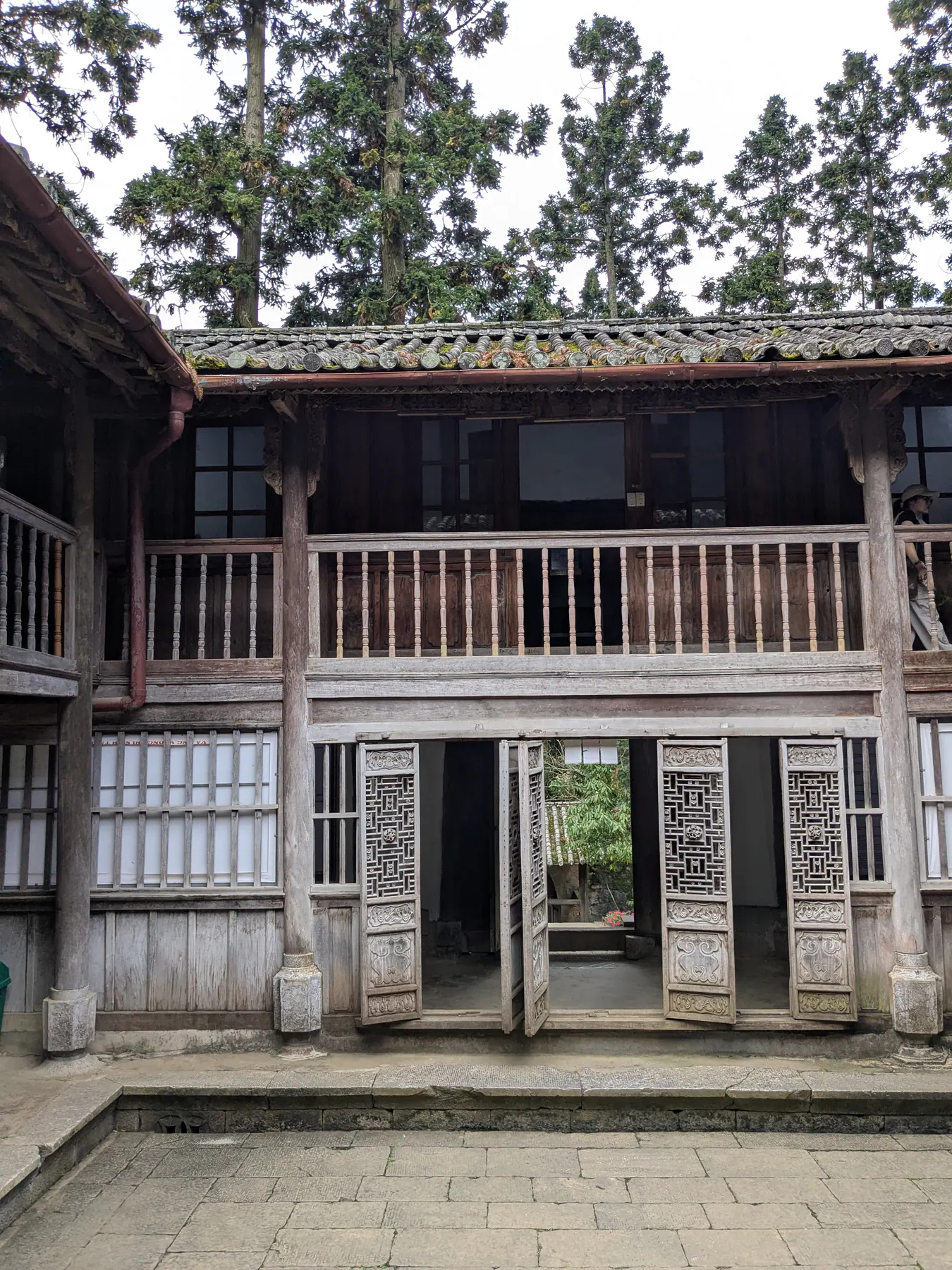
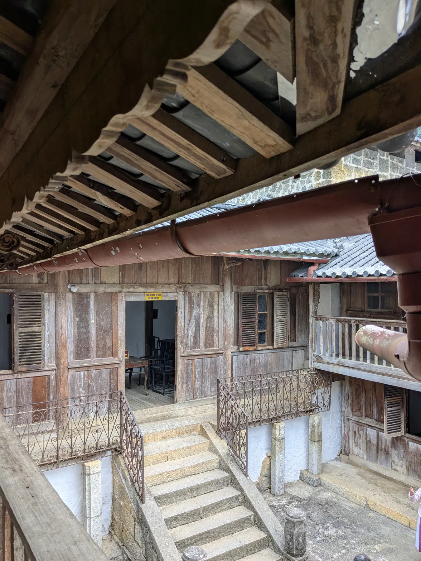
We started at Sa Phin, where the old Hmong King's Palace is worth seeing before you continue on the route. Its mix of Chinese, French and Hmong styles makes it feel unlike anywhere else we stopped.
Nearby is the area they call the moon surface, and the name makes sense the moment you see it: bare grey-black rock spreading out in humps and craters with almost nothing growing on it, so it looks less like a landscape than like somewhere off the planet. We stopped there for a while, and the black rock against the mountains behind it was worth the look.
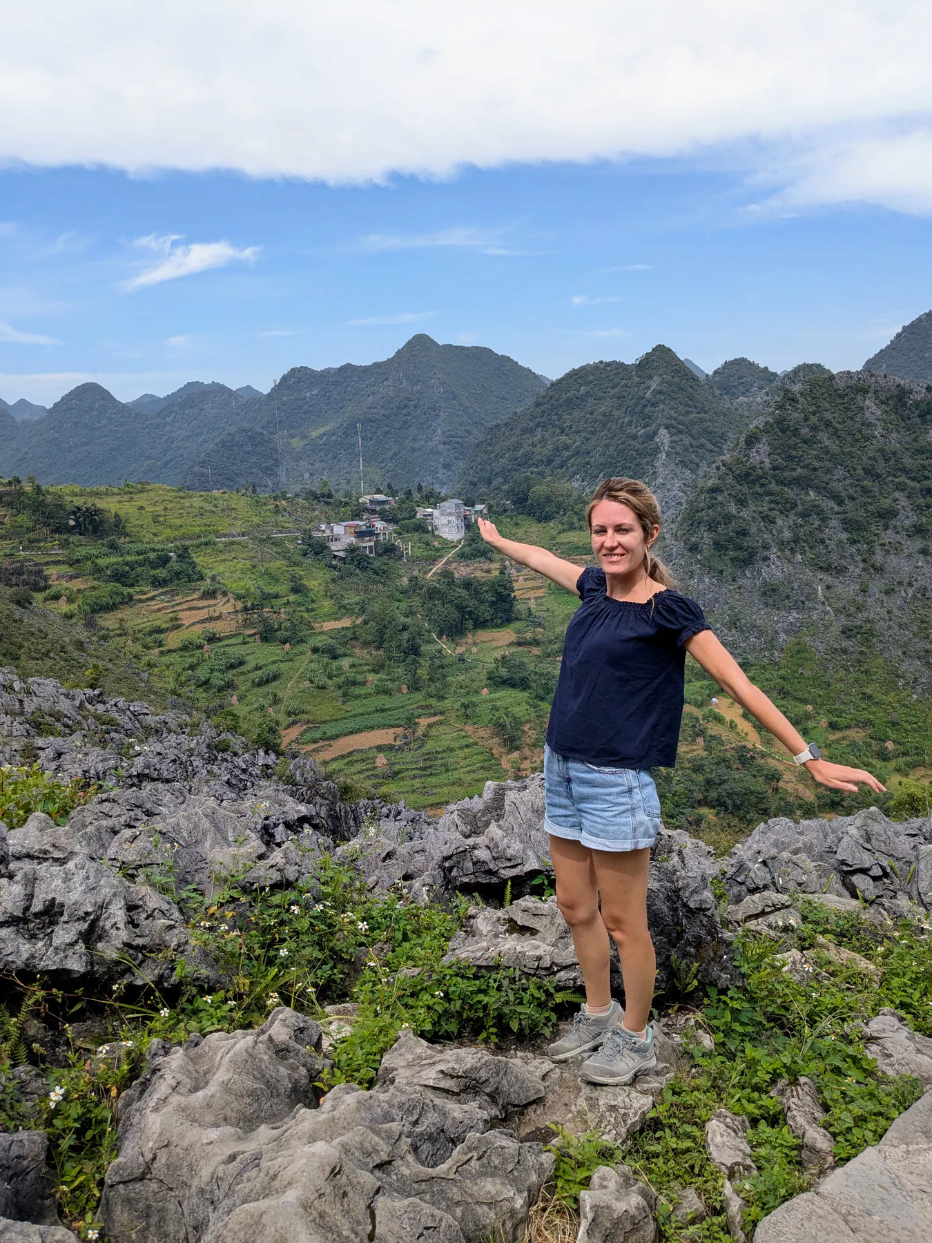
This was also where the jackets came out. The constant heat of the previous days was replaced by strong wind and a real chill.
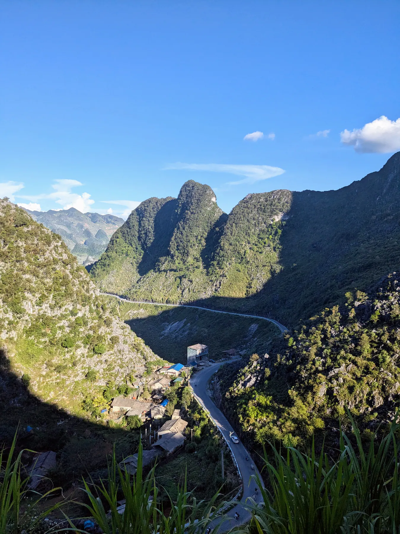
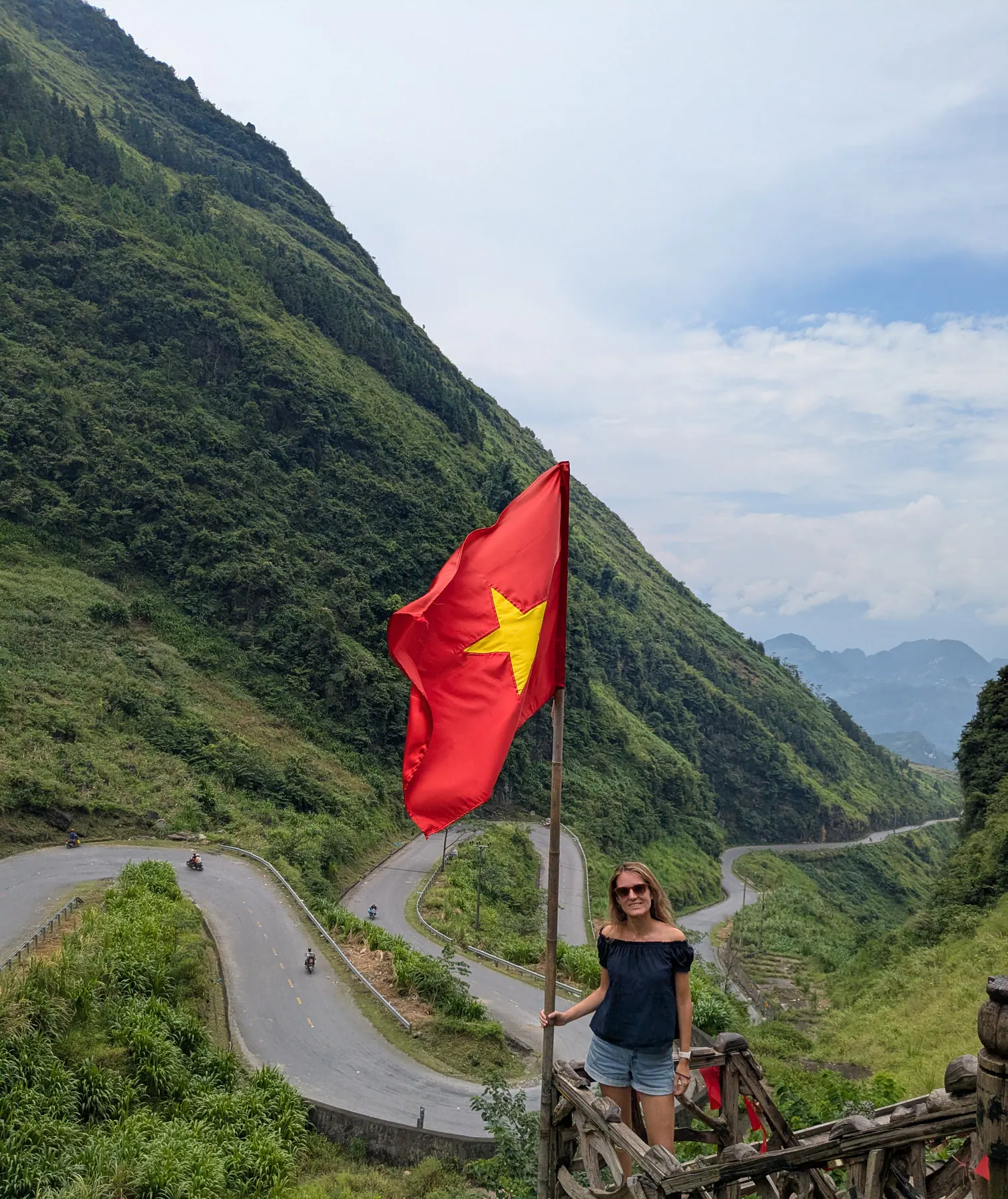
Doc Tham Ma viewpoint, on the Tham Ma pass, is one of the images you'll see everywhere if you search for Ha Giang. It was thoroughly built up with souvenir stalls. But the view is the reason it's famous, and it holds everything Ha Giang is in one frame: the road winding away in serpentines below you, a Vietnamese flag on the ridge, and vast green mountains behind it all.
The last stretch, through Yen Minh wind pass and the Can Ty, dramatic riding. Cloud sat low over everything, and the roads are very steep in places - there were moments when I felt afraid. Yen Minh wind pass has the green pines along it.
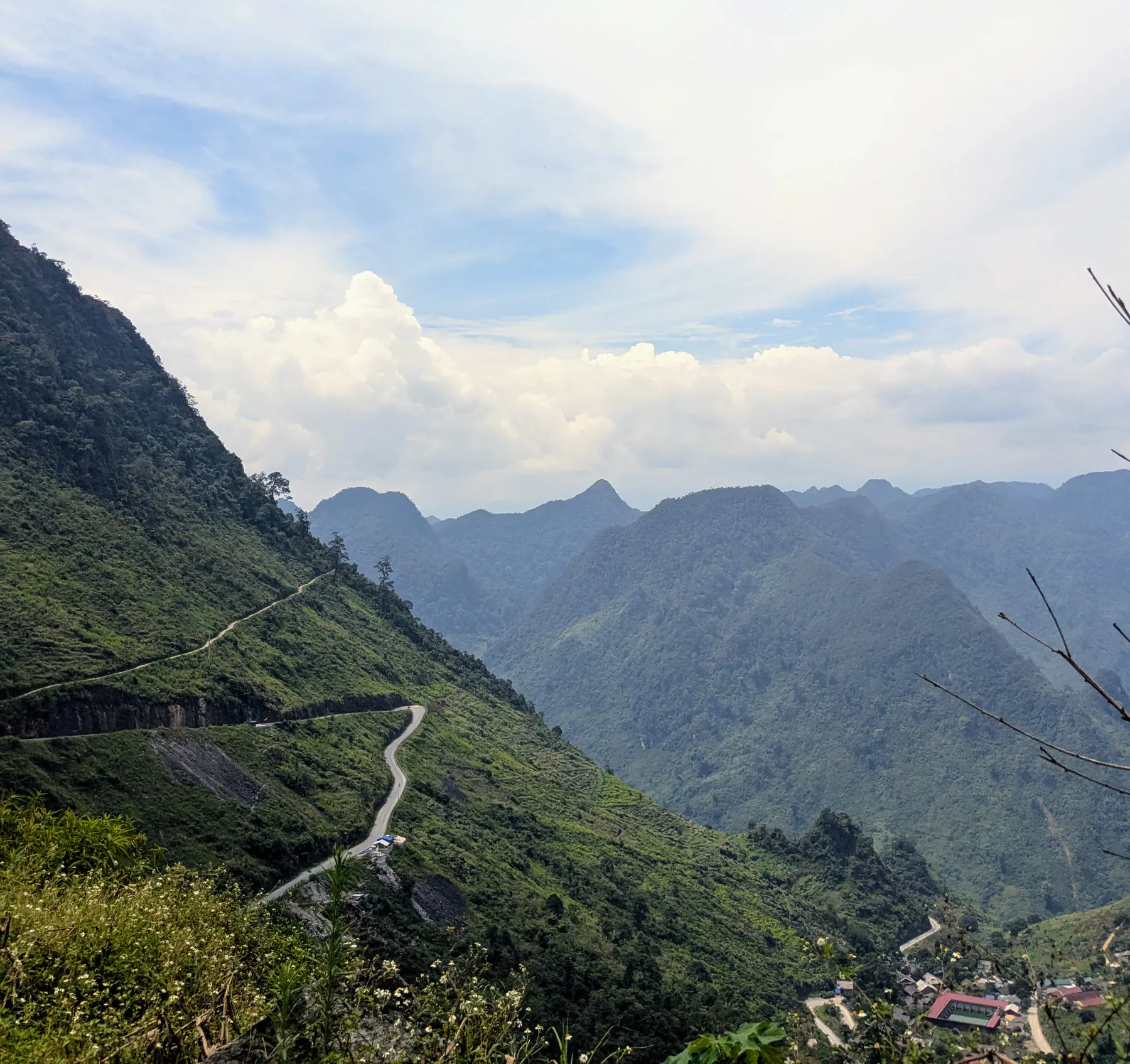
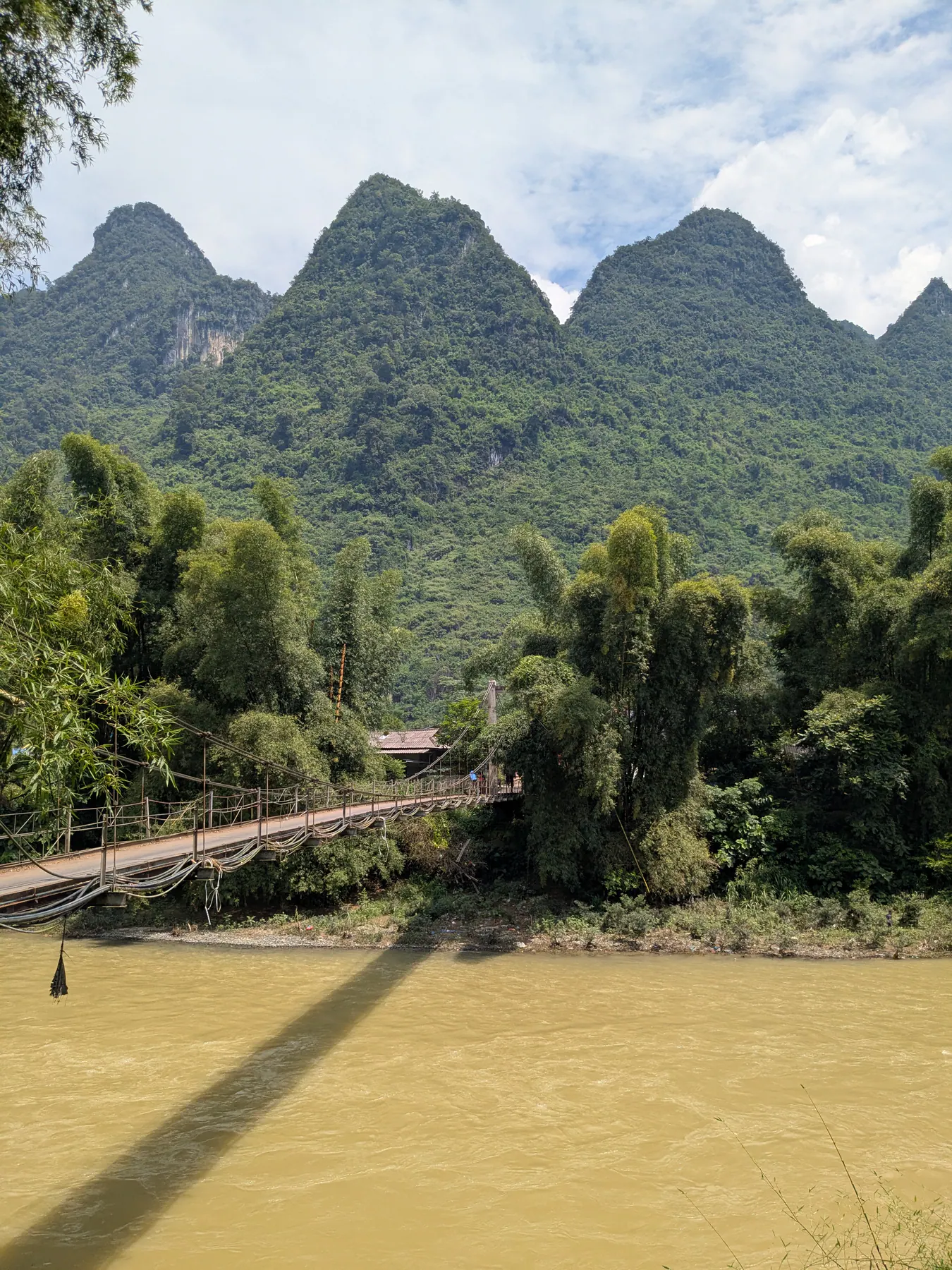
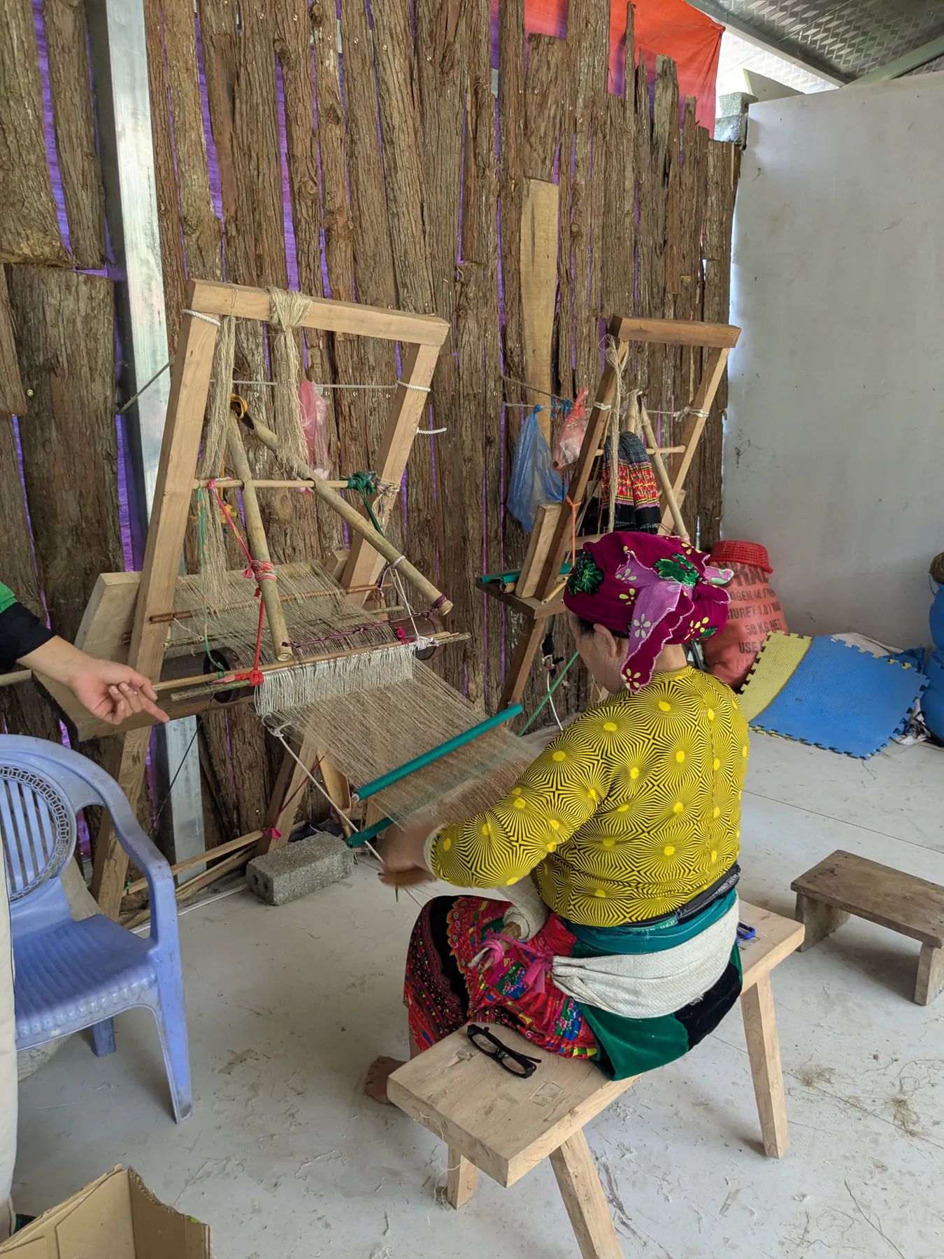
After that, we stopped at a hemp house beside the Song Lo river, where we watched local women making cloth from hemp.
Finally the Twin Mountains Quan Ba, where we watched people working in the fields below two hills shaped like humps.
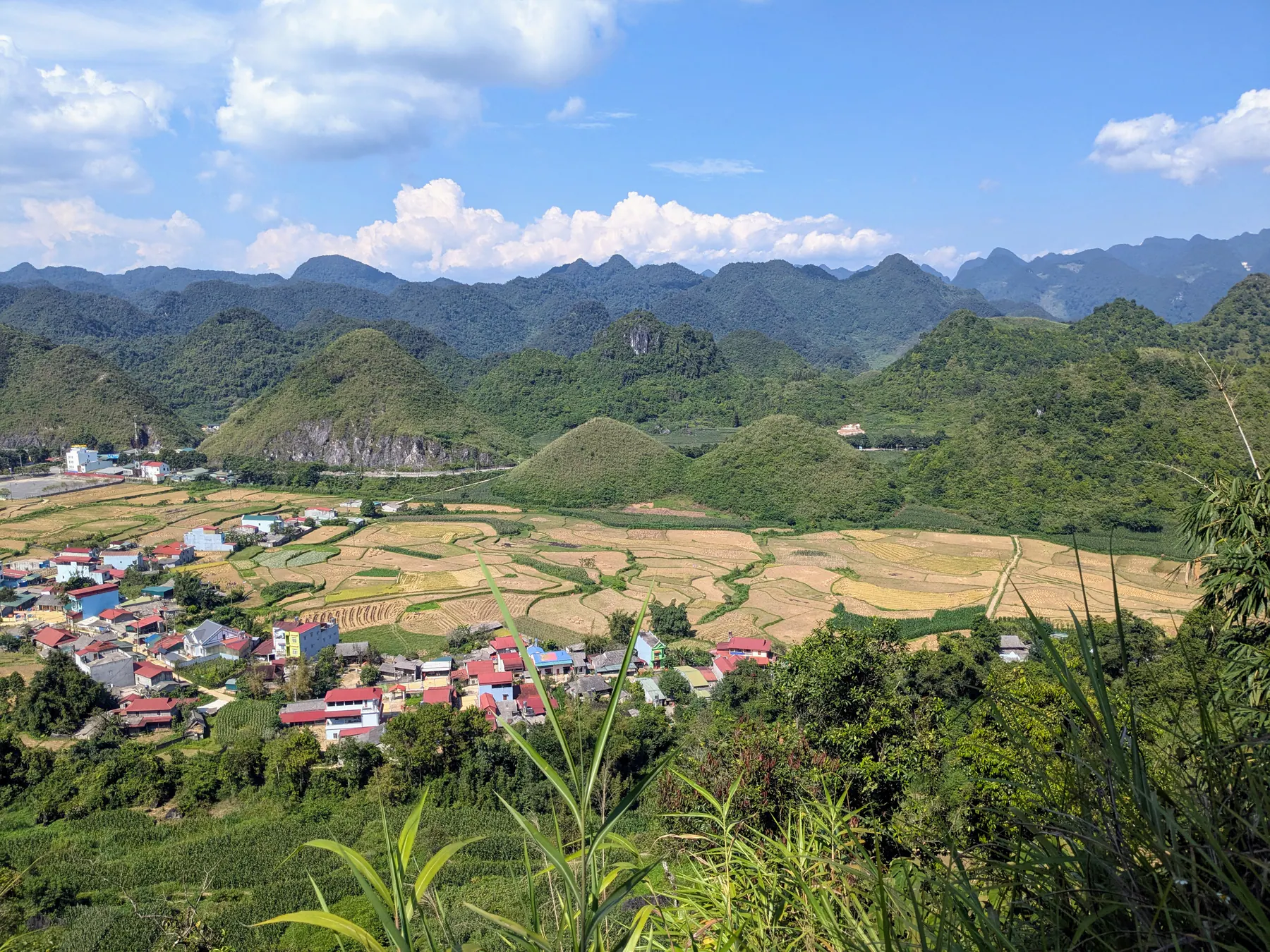
By then the tour was coming to an end and we were tired but happy. I haven't included every view or every stretch of the drive here, because there were far too many - and most of what you see in Ha Giang isn't at a stop at all. It's from the back of the motorbike, going past.
Then back to the village where the tour had started, with a wait until the evening VIP sleeper bus to Hanoi.
When to go: autumn landscapes and mountain weather
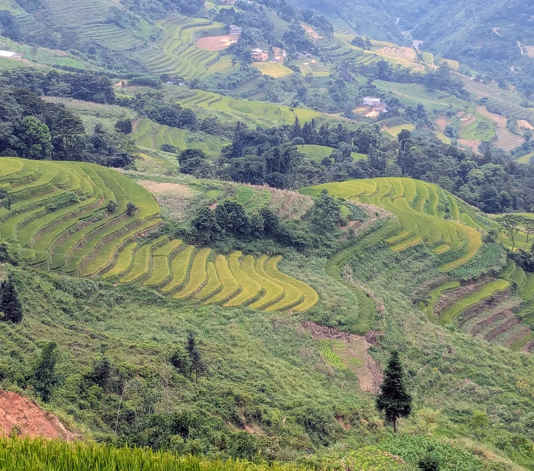
We went in late September and had no rain at all - sun every day and near-perfect conditions. That wasn't luck so much as timing: September to November is generally reckoned the best window for the loop, and the rice harvest turns the terraces gold from about mid-September to mid-October. July and August are the ones to avoid, when the rain makes the roads slippery and brings a real risk of landslides.
That's worth taking seriously. This is a remote area on a high plateau, and the roads are cut into cliffs. Always check the weather before you go, and don't go if the forecast looks bad. Safety first, however far you've travelled to get there.
What to pack for three days on a motorbike
I brought several jackets and used one, briefly, when we rode into a cloudier and windier stretch of mountains. So: don't overpack, but make sure what you bring is comfortable and sporty. It can be cooler in the mountains, and the temperature changes fast between a valley and a pass.
Avoid sandals. Proper walking shoes or trainers make getting on and off a motorbike much easier, and you won't spend the trip worrying about bumping your toes on something.
You should be given a helmet, and wearing it is compulsory. We saw people riding without them. That shouldn't be happening.
Bring cash. There are small cafés at the viewpoints where you'll want something cold, and cash is what works.
And you don't carry much. We left our big backpacks at the agency's office and took a small bag strapped to the motorbike with what we needed for three days.
Was it worth it? Looking back on our three-day loop
Yes. Three days was the right length, the company was a good choice, and the variety of landscape over those three days is something I haven't found anywhere else.
Without doubt the Ha Giang loop is the thing that will make a trip to northern Vietnam memorable. There's a difference between visiting a place and travelling through it for days - here you spend each day moving through the landscape, rather than only stopping to admire it from a viewpoint. For anyone who likes nature, this isn't something to skip in Vietnam.
One practical note: it's worth researching which company you go with, and worth expecting company on the road. This route is getting more popular every year, and there will be other people at the stops.
For the complete two-week Northern Vietnam route, costs and transport sequence, see our 14-day Northern Vietnam itinerary.
FAQs
Is the Ha Giang loop worth it?
Yes, and it's the thing that will make a trip to northern Vietnam memorable. The variety of landscape over three days isn't something I've found elsewhere, and you're inside it the whole time rather than looking at it from a viewpoint.
How many days do you need?
Three days and two nights is a good balance. Four on a motorbike might be too much, and two would mean rushing. Some companies run four- and five-day versions if you want to go further.
Easy rider or drive yourself?
Unless you're an experienced rider who knows this kind of road, take an easy rider. There are stretches that are truly challenging - loose stones, steep sections, tight bends - and on the back of the bike you can look at the landscape rather than the tarmac.
How much does the Ha Giang loop cost?
We paid around €190 each for three days and two nights, including the VIP sleeper bus from Hanoi and back, accommodation, meals and the driver. Prices vary by company and group size, and cash is the sensible way to pay - cards usually attract a commission in Vietnam.
How do you get to Ha Giang from Hanoi?
By overnight VIP sleeper bus, around six or seven hours, though day buses are available too. Many tours include the bus both ways, which is the simplest arrangement.
When is the best time to go?
September to November. The rice turns gold from mid-September to mid-October, and the weather is at its most settled. Avoid July and August, when rain makes the roads slippery and landslides are a real risk.
What should you pack?
Not much - you leave your main luggage at the agency and take a small bag on the bike. Comfortable, sporty clothes, proper shoes rather than sandals, one warm layer for the passes, and cash.
Read next
More posts for this trip mood
 Asia
Asia Red River Delta & Northern Highlands, Vietnam
Northern Vietnam in Two Weeks: A Complete Route
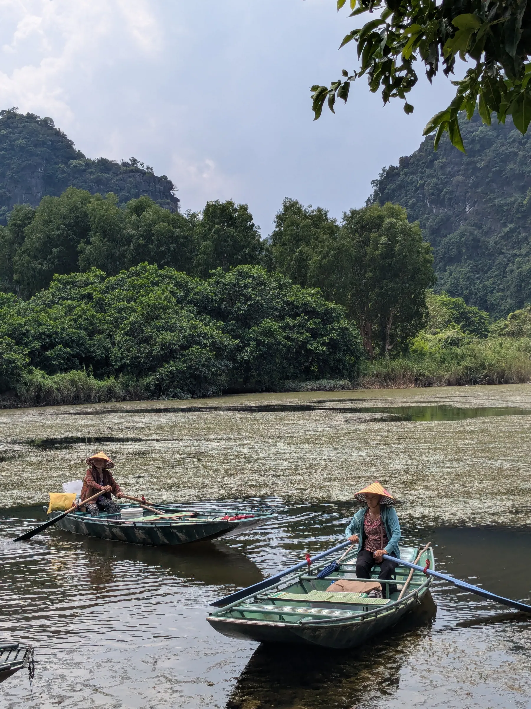
A realistic two-week Northern Vietnam itinerary balancing Hanoi, Lan Ha Bay, Ninh Binh, Mai Chau, and the Ha Giang Loop with honest budgets and transit tips.
 Asia
Asia Hai Phong, Vietnam
Cat Ba and Lan Ha Bay: The Quieter Ha Long
Two quiet days on the water: limestone karsts, cave kayaking, a floating village and no crowds.
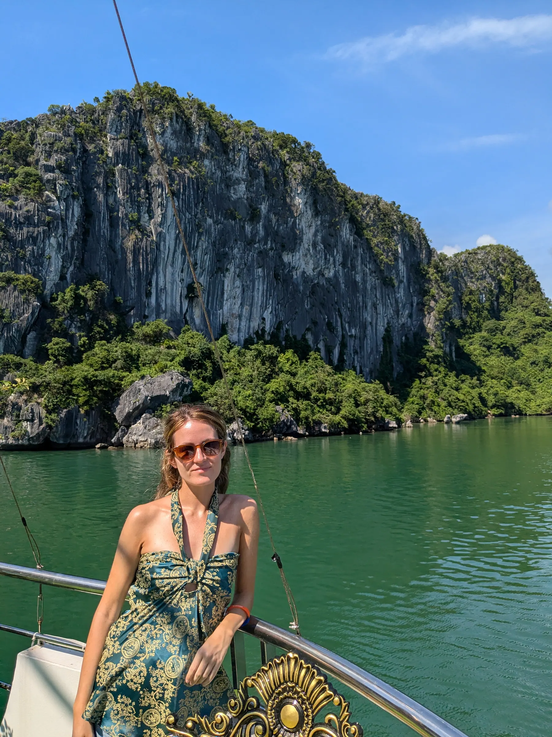
Why we based ourselves on Cat Ba Island, skipped the mainland cruises, and spent two quiet days cruising, kayaking and exploring Lan Ha Bay instead of Ha Long.
 Asia
Asia Ninh Binh, Vietnam
Two Days in Ninh Binh, by Bike and by Boat
Two slow days of bicycles, limestone mountains, temples, caves and a boat through Trang An.
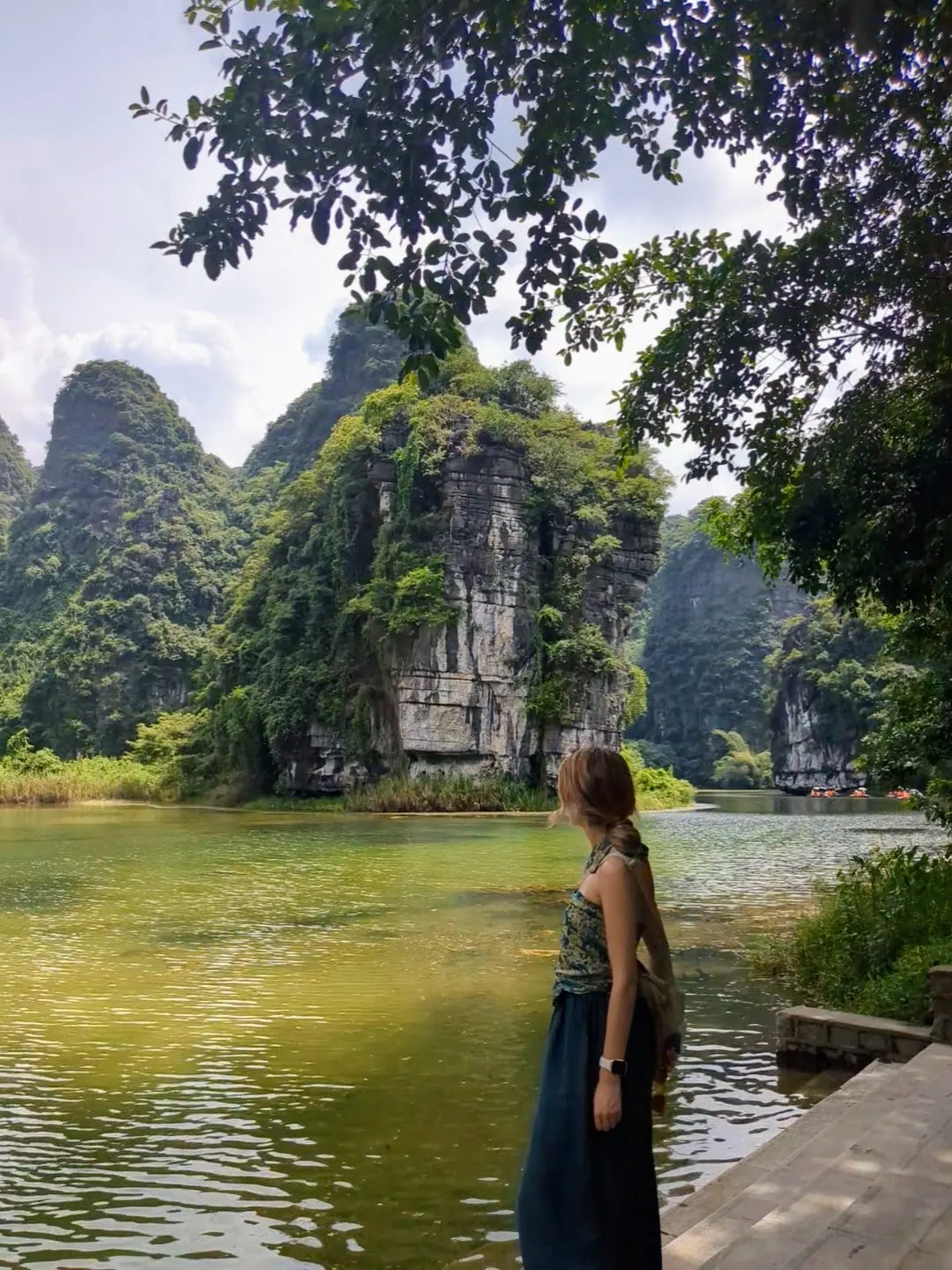
Two days in Ninh Binh: cycling from Tam Coc to Bich Dong, Buffalo Cave and Mua Cave, with a quiet Trang An boat trip.